

ORH_wxman
-
Posts
93,092 -
Joined
-
Last visited
Content Type
Profiles
Blogs
Forums
American Weather
Media Demo
Store
Gallery
Everything posted by ORH_wxman
-
The shredder pattern is a bit like an unmanned firehose. You have to thread the needle. We just had a system jackpot Ottawa before today.
-
Incoming again for MVY?
-
RGEM and GFS have pretty significant snow into tomorrow night. That’s the reason they are kind of going wild on totals. Hard to buy it verbatim but we keep an eye on it.
-
Nothing changed materially. I just speculated that the snow might be better organized tomorrow than overnight. I don’t think amounts change.
-
I answered you hours ago.
-
Weenie flakes here now....
-
I was thinking the frozen steak'ums.
-
Yeah def not buying that much beef....lol. But a period of steady snow tomorrow that might briefly have some moderate bursts seems like a possibility.
-
I'm wondering if the best snow for most of the MA peeps is tomorrow and not tonight. There will be some snow tonight, but it looks like tomorow would be more organized than tonight.
-
Depends where you are....I'd go 1-3" for northern areas (like NW MA into S VT/SW NH)....maybe 3-5" for E MA down to N RI....you might be a little more like 2-4 since there could be some enhancement out east that you miss, but hard to say. There's a chance tomorrow could be better.
-
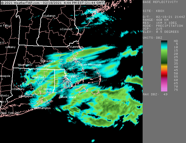
Looks like GON to WST getting crushed now.
-
Yeah ORH is at 63.9 coming into today.
-
Been a pretty decent winter here....I hated the period between Grinch and MLK but can't complain before or after that period. Hoping to grab 3-5" tonight/tomorrow.
-
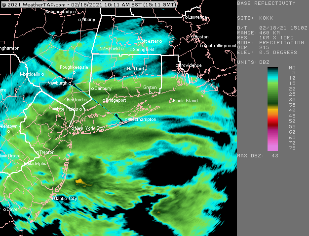
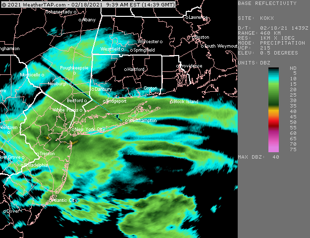
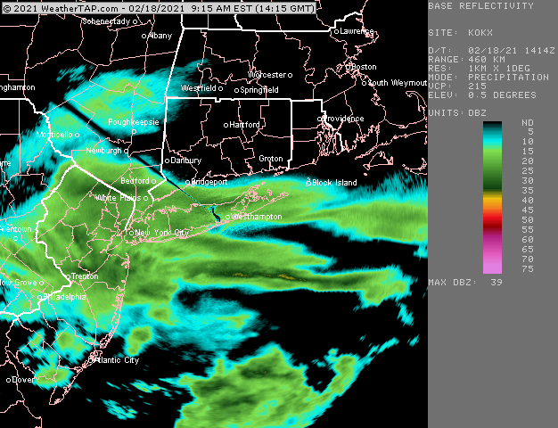
Yeah anyone north of the meat of thiswon't get much accumulation until tonight....it will just be some shredded garbage. Can't rule out a coating to an inch this afternoon though...esp down by you. I'm expecting jack shit here until tonight.
-
Light garbage later on this afternoon, but the meat of the WAA pulse round 1 won't reach there.Struggle to be more than 10-15 miles N of 95.
-
Shearing is the issue...the ensembles have a lot of lows well north but they are sheared.
-
The steady light to maybe occasionally moderate snow is likely to be in the 10pm to 7am time range for the N CT to BOS area crew....the "start time" is pretty ambiguous because there's going to be a lot of shredded garbage all afternoon and eventually it's going to be a bit more organized into the evening and overnight.
-
You can see that stuff is getting shunted almost due east once it makes it up to near DXY. There's a very slightly northerly component to the shield, but mostly due east.
-
Too far north with the heavy rates. Gonna struggle to get north of HFD-PVD....light snow will get north of that, but I ain't seeing 1-2" per hour norht of them.
-
Pretty good weenie band on the south coast right now
-
Reggie improved from 06z....tries to get some weenie ML stuff to regenerate throughout the day tomorrow and into tomorrow night.
-
It';s shearing out...so I'm not high on that one...maybe it trends back,.
-
Looks pretty solid for SW CT crew...
-
Ensembles are quite amped on the 2/26 threat. I'm not buying a mid-atlantic snowstorm yet on that look.
-
Overnight tonight could have a few weenie bands further north....something to watch. HRRR tries to reinvigorate some ML goodies tomorrow afternoon too, but that is where other guidance like the Euro has basically been nil.


