

ORH_wxman
-
Posts
93,099 -
Joined
-
Last visited
Content Type
Profiles
Blogs
Forums
American Weather
Media Demo
Store
Gallery
Everything posted by ORH_wxman
-
That was never even a consideration. It was just incoherent ramblings from unhinged-in-Tolland.
-
Feb 2003, Jan 1978, and Feb 1958 on that list were Miller As.
-
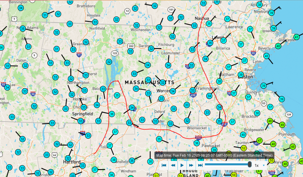
Can see it well on the mesomap...I'm stuck right in it at 33F.
-
Interesting that it is colder well to the east here. Still rotting just under 33F.
-
32.5 and RA. Thought it might be a degree or two warmer by now. Still pretty icy out there but you can tell it’s starting to melt now.
-
Everything encased in ice. Temp is rising rapidly though. 31.5F now. Should be above freezing within an hour or so.
-
Good trends overnight. If we’re getting more ambitious, I’d like to see some more trending today of midlevel centers trying to organize to the south. That would prolong and enhance the snowfall. As it stands now, it looks like a solid moderate event but it’s not far from something more significant.
-
GGEM is all snow for at least north of MA/CT/RI border...it does flip south of there to sleet but it’s near the end. Pretty impressive runs tonight. The upper air has improved quite a bit on the 00z suite. It opens up possibilities of something better than a mere moderate event.
-
V16 is all snow too. Except maybe the Cape/Islands.
-
Still 27.3F here but that is up about a half degree from the low point about 90 min ago. Im guessing we will be a tick or two above freezing by 12z. Everything is a thin sheet of ice outside though.
-
A little more AK ridging along with some Greenland riding poking back from Scandinavia keeps the heights lower over Central/eastern Canada and at times into NE. SE ridge tries to battle but we’d prob win a lot of those in that setup. EPS a bit more tenuous...esp late in the run. This is talking post-day 9ish for peeps reading without seeing the ensembles.
-
Yep, mixing out to 42/24 is way different than raining at that same temp. So in terms of snow melt, that matters.
-
Yeah, that may happen at FROPA mix-out but I don’t think the steady precip will be sniffing 40F over the interior...esp that far north. The high temp tomorrow is kind of a trivial statistic....take ORH for example, if it’s like 31-34F all day long and then it mixes out to 42F for an hour or two when the cold front hits, does that matter in terms of the sensible wx? No, not really. If that 42F was happening for hours during the bulk of the precip, then it would be a big difference.
-
BVY and BED are 28F. It’s def a good northerly drain going right now, just think Logan is running a tick cold. You’d expect them to be about a degree warmer than those two or the same at the very least , not a degree colder.
-
Yeah I’m skeptical they are colder than I am right now. 27.4 here.
-
We basically have sheet drizzle falling here but it’s freezing on everything right now.
-
Down to 27.5F here. Everything iced over now including the driveway. Big change from early afternoon.
-
Yeah I know down south made it that warm, but i meant around 495 belt to ORH when I said “here”. Probably should’ve specified.
-
The more tomorrow’s system wraps up, the lower the heights are behind it which helps keep the follow-up system further south and east. Obviously there are other factors like the shortwave itself for 2/18-19, but all else equal, lower heights behind tomorrow’s system will trend 2/18-19 colder.
-
Yeah that 36F reading was bogus. Nobody was that warm around here.
-
Even in the 12/2008 event in ORH, I had trouble accreting during the day on 12/11/08...we were icing up on trees and stuff but my car windshield and even the grass was kind of meh until dark. Obviously that was marginal temps, but even near the winter solstice, the time of day made a difference.
-
Interesting...the ZR is now starting to glaze the deck whereas a couple hours ago it was just wet. We’ve dropped a degree or so since then and also lost peak insulation. That was enough to make the difference.
-
We’ve dropped a degree in the past hour or so. Down below 29F now. Freezing drizzle for the past 30-45 min.
-
2/22 still showing up on euro/eps. Get that one to dig just a little more and it would prob be a nice miller B Tip-NJ model storm.
-
Noticed some new small icicles hanging off the step ladder outside from the recent round of ZR. Funny, because the part of the deck that had been cleared was just wet. Temp is hovering just below 30F but peak insolation combined with the slightly darker color of the stained wood didn’t allow freezing there but the silver metal step ladder was iced over.


