-
Posts
93,092 -
Joined
-
Last visited
Content Type
Profiles
Blogs
Forums
American Weather
Media Demo
Store
Gallery
Everything posted by ORH_wxman
-
Model guidance is definitely getting more confident on some colder anomalies later this month. The magnitude is still yet to be determined but we’re seeing across multiple model suites.
-
Only got to 30 here. But it looks like lots of mid 20s around lower down.
-
A lot of the really dinky smaller airports are good for radiational cooling because they try and build them in areas with low wind...prop planes and other small aircraft have an easier time at takeoff and landing.
-
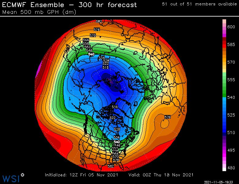
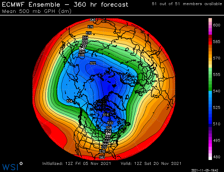
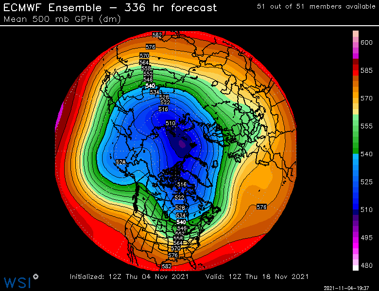
EPS still showing a pretty chilly pattern post-mid month. You see all that weakness in the height field N of AK....that's what you want to see as we get closer...hopefully getting even higher heights there. You can see how the airmass origin going into Canada on that flow is Siberia/Arctic ocean and not the PAC.
-
It was actually cold almost from the start but we got a couple cutters to interrupt the cold. ORH had a 5 days stretch between 1/6 and 1/10 where 4 of those 5 days had highs in the teens. It was a -4 departure that month. Pretty frigid stuff for peak winter temperature climo...which just adds to how impressive the next month was, lol.
-
Yep...last legit good January was prob 2018..and even that was mostly dogshit after 1/10....2015 was crap until the last 10 days of the month.
-
Yeah Mar looks ok....Feb looks pretty good actually...that would be a lot of overrunning type events and big gradient. Even though we're on the northern edge of the oranges, that's a good spot at H5. You can bet below that level would be frigid on the north side of that gradient.
-
Dec looks excellent on that composite. Agree that Jan is dogshit there....hopefully it changes.
-
Yes the old records were kept at Brainard
-
Tday 1971 was the really big one with over a foot in ORH (but mostly rain inside 128). But I believe there was a 2-4” snow to sleet/ice event in 1985 too. I was only 4 for that one so barely remember but we were up visiting from Texas and I remember losing power...it was almost perfect timing since it was right as the food was done cooking. Everyone ate in candlelight. Of course we had the pretty big event on Tday 1989, the day before Tday in 2002, and then also the day before Tday in 2014. 2005 had a smaller event on Tday itself. We also had small events the day before Tday in 1994 and 1996 which gave us white thanksgivings.
-
Weeklies def look seasonably chilly for late month...agreeing with the end of the ensemble run. So something to watch. They keep a decent pattern into early December too, but the western ridge starts to pancake a bit and produce some ridging across the southern US, almost a pseudo-gradient pattern for a time. Getting out into clown range by that point, but figured I'd mention it.
-
Yeah there is some higher terrain there that got hit decently...it was mostly like 650-700+ feet in that area but it got bad quickly once you got above that elevation.
-
EPS trying to amplify that EPO/PNA combo ridge a little more today....something to watch in terms of any chance of winter wx in the 2nd half of the month:
-
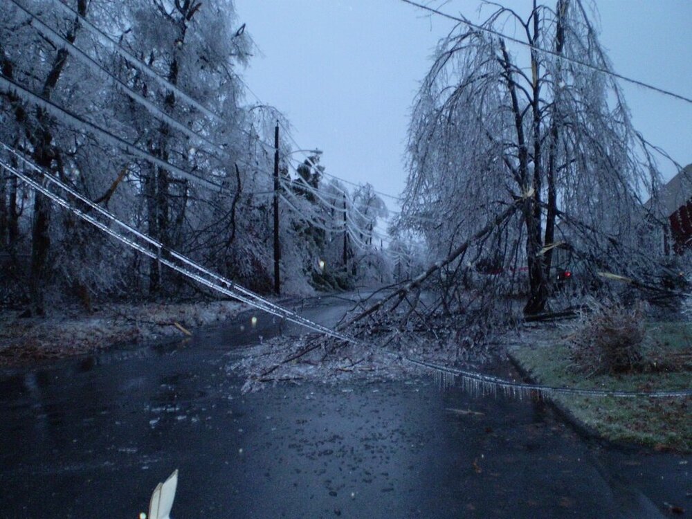
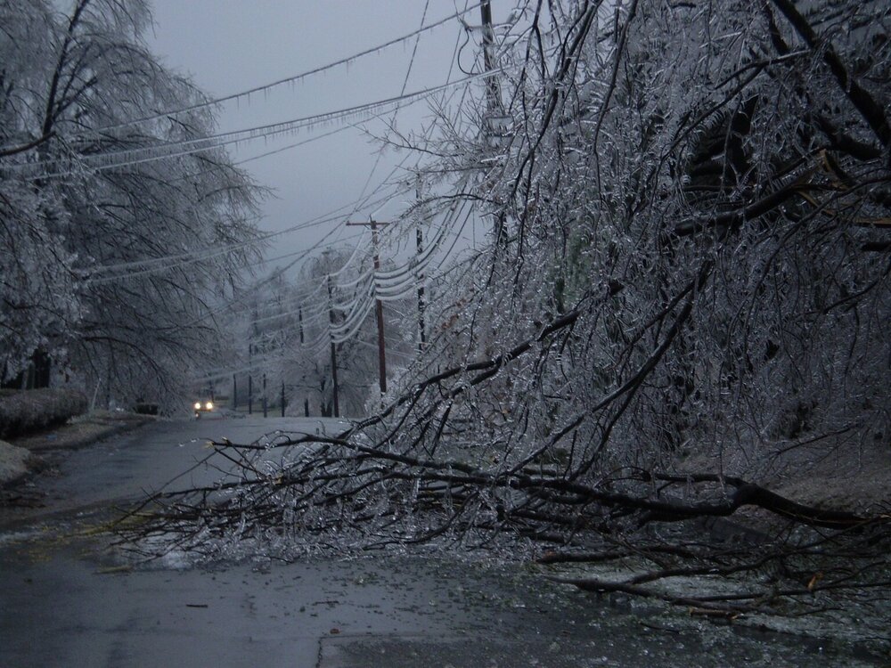
The damage line was amazing. It literally sliced ORH in half....the south side of the city had very little icing except the hills above about 600 feet there. But up on the north side of the city, the icing damage was pretty bad all the way down to 500-550 feet. Most of the north side of the city is 600+ feet anyway, but even the lower parts were bad..and of course as you went up 190 it was awful even down to 300-350 feet in the lowest parts of Fitchburg/Leominster.
-
14F up on MWN....good indicator of the airmass. Solid cold for this time of the year....nothing extreme, but a good cold shot....like 5 to 8F below normal for highs.
-
"I'm only asking for a once in 50 to 100 year event"
-
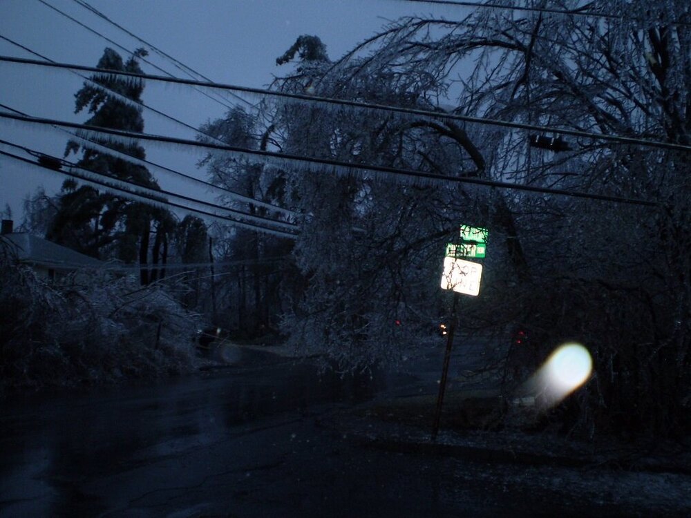
Yep, the funny part about that was about an hour or two earlier, i had gone for a walk and noticed the ice accreting decently, but still a decent amount of runoff of the water. I made the comment on the forum "I think we dodged a bullet"....but then all hell started breaking loose not long after that....LOL. I lost power like 20 minutes after that post, and then another hour or so after that the shotgun blasts started. Here's a couple more from that one....I'll have to go back and post all of them again at some point since the old forum is where they used to be and it doesn't exist anymore.
-
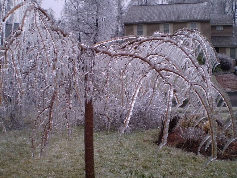
Yep, this is always my favorite pic I took during the storm....look at the icicles....they are not pointing straight down. The wind ripping from 20 knots out of the northeast did that
-
It's possible it was was 11/13/04 too, but that one didn't have much, if any, ice north of the CT/MA border. There was a little down in CT I think.
-
Massive juiced southern stream system slamming up into a marginal polar high in Quebec. It had very solid ageo flow. The only reason it wasn't way worse for areas closer to Boston and down into CT/NRI was the airmass was just a little too marginal. The synoptic setup was good though...and we even had a mesolow that forms to the east of BOS and went into the gulf of Maine....if the airmass had been like 2-3F colder, then even into metro Boston prob would have had a lot of ice and the 128 belt would have been decimated....and certainly your area to Kevin's too....but both of you missed out by like 0.5-1F....razor thin margin. Here is the loop: http://www.meteo.psu.edu/fxg1/NARR/2008/us1212.php
-
Prob Nov 16, 2002. That was actually a pretty big ice storm for the elevations of N CT and far S MA. We had some ZR in ORH but a lot of sleet too so it wasn't as icy as just a bit south.
-
I remember going outside on Winter Hill during that one and seeing it immediately when I went outside. Didn't even have to wait for my eyes to adjust to the dark.
-
You already know this....but for those that don't: Unfortunately very rare in New England....you almost need one of those "due south wind" type events where everything is eroding but someone like Chris up in Greenfield rots at 30F for several hours with ZR and a place like ORH is 40F. But usually those type of events are very transitory....the ZR changes to rain within a few hours. The longer duration ZR events up here all require strong ageostrophic northerly flow and usually that means it's going to be strong through the lower 2000-2500 feet in the atmosphere, so we end up with higher elevations actually doing better until you reach like 2500-3000 feet or so when the temp starts rising again.
-
Really heavy frost here.
-


