

ORH_wxman
-
Posts
93,092 -
Joined
-
Last visited
Content Type
Profiles
Blogs
Forums
American Weather
Media Demo
Store
Gallery
Everything posted by ORH_wxman
-
H5 is deepening pretty rapidly south of LI and it cuts off bringing good deep layer E or ENE flow. You are prob getting whacked with ML fronto and the CF at the same time there for a while.
-
Ukie is weak with the clipper too...maybe 1-3". Doesn't go out far enough to see 1/29-30 but the pattern looks primed at D6 with some southern energy hanging down southwest waiting for the next northern stream wave.
-
GGEM likes 1/29....it has the clipper pretty weak on 1/25, prob only a 1-2" type job on the clipper.
-
It would still be a pretty epic storm even up this way because the WCB is so strong....almost like the superstorm...except further east. I'd take it and run and not worry if some hamlet in SE PA got 31" while I got 24".
-
Not easy to get sub-960 lows....nevermind at Cape Hatteras latitude, lol
-
Might have had some flakes stick on the grill cover. Epic.
-
Flash freezes typically happen in WINDEX events around here....you occasionally get them in a cold tuck scenario or a frontal wave, but usually they are from an arctic front that has snow squalls with temps starting in the 30s and then you drop like 10F in an hour and everything turns to a sheet of ice that was wet.
-
GFS trying for 1/25....need to consolidate the forcing into the southern stream, but it has a decent look.
-
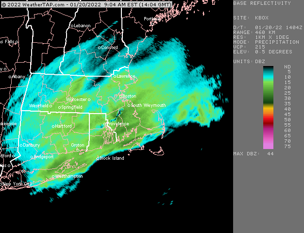
Snowing here steadily, but radar looks like dogshit....hopefully we can grab an inch if that stuff to the west doesn't fall apart.
-
I mean maybe...but it's really hard to make up 50"+ in like a 5-6 week span which is where we'd be by early February....for the epic snow belt towns in south-central CT, they have more wiggle room to reach average, but up here, we're way behind climo and you need snow events every so often not to fall too far behind.
-
Yeah I think the next 10 days will decide how this winter will go...if we cash in on 2 threats, then something close to normal snowfall is still plausible. But if we get to groundhog day with nothing to show for it and nothing imminent, I think a ratter is basically locked.
-
Frustration on this garbage winter aside....if we're looking for the best windows here, it's still Jan 25-26....there is still pretty decent ensemble support for that system. Then I'd prob look at Jan 29-30th and Feb 2nd....those are two dates that have some weak ensemble signals.
-
Some mangled flakes mixed in here. Epicosity.
-
Yeah that was good but it also hit RI good and a chunk of SE MA…not a “true” cape special but I guess it was pretty close to one.
-
We haven't had a good Cape Specials in a while. Usually you'll one of those 8-12" deals out there when we smoke cirrus (or get 1-3") about once every other or third year, but we haven't had any recently. I honestly can't remember the last one....was it March 2014? I feel like maybe there was another one a couple years later but struggling to remember any. Maybe in 2018, I dunno.
-
18z NAM kind of reversed the trend from 12z....a bit juicier in southern areas while cutting back to the north.
-
Well we lost the 1/22-24 dual deal...both of those will fail. But the 1/25-26 clipper/redeveloper is looking alive and well. Some of the guidance including the Euro gets southern stream involved too which will add to some of the model chaos, but I think there's a legit chance of a good event even without the southern stream.
-
Gonn have to watch that 1/25-26 deal. Euro/GEM/Ukie all have something.
-
Euro basically held serve from 06z. Might have been a little better for eastern areas and a little worse for western areas. But nothing big.
-
Ukie likes that clipper too for a redeveloper situation.
-
RAP and HRRR are drying up pretty substantially on post-12z runs. Not a trend you want to see.
-
I'm honestly not sure what to expect in February....model guidance still wants to have a monster Bering Strait ridge....which is NOT a warm pattern overall for us. But if the PNA goes negative enough, we could end up with the SE ridge getting us too much like it did in December....but part of me thinks that's pretty unlikely as that was an extreme -PNA that is unlikely to persist that long again. Typically those only last a few days.
-
All the 12z mesos got a lot drier....FV3 too. The one exception might be the HRRR.
-
1-2 inch event. Maybe someone gets lucky with 3
-
It was worse south, better north. So perspective i guess depending on where you are.


