

ORH_wxman
-
Posts
93,095 -
Joined
-
Last visited
Content Type
Profiles
Blogs
Forums
American Weather
Media Demo
Store
Gallery
Everything posted by ORH_wxman
-
The problem is the high is a beast, but the storm makes it here before the high presses in...so the high could be 1060mb and it wouldn't matter. The key is getting that high to press down prior to the storm arriving.
-
Looks more amped at 54h than 06z. Though the southern stream hanging back in the southwest looks weaker...so it could change in the next few panels.
-
If you had to pick a clunker month out there, a warmish January after a record-breaking December would be the way to do it....you can enjoy the obscene base depths without having to bundle up. Kind of like skiing on corn up here in late March after an epic month or two.
-
Yeah, I'll usually say to myself "stop bitching and whining about first world weather problems, you did the worst 4 consecutive seasons on record when you were 7 to 10 years old, you can handle a crappy month or two"
-
That's actually a good way to look at it. I do that sometimes when it's been awful here...I'll say "at least this isn't the late 1980s/early 1990s when ORH went 4 consecutive seasons without a 10"+ snowfall.....nothing was as bad as that".
-
I just went into my 2014-2015 winter folder to look at some images....and I'm not kidding that this was in there:

-
That was Jan 2014....brutal month up there. Above average precip and frigid temps, yet it was mostly rain when the precip fell, lol. Even though we had more snow down, I hated that month....those cutters were just awful. I had these slabs of ice that got really bad on the walk and driveway because even though the cutters were torches, they didn't last long enough to make the glaciers melt. Thankfully it got way better that next month in Feb 2014.
-
Yes agreed. But as Morgan Freeman says in Shawshank, "Every man has his breaking point".....sometimes you just start downing the scotch at 4am and look at 09z ARW runs wondering why Stowe displaced to Boston.
-
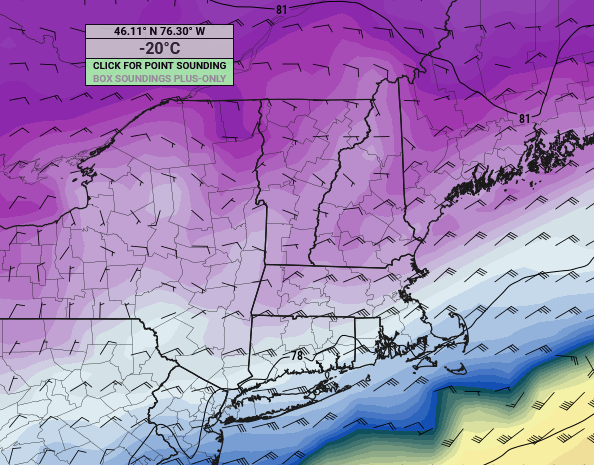
Sfc gets frigid, but yeah, the midlevels have a layer that stays just below freezing so it reads that.
-
Yeah there's actually a good reason to get back on the horse. Your latitude really could help here.
-
Fixed
-
Didn't take too long to get you out of your basement watching reruns of the Mar 2018 radar loop while eating a gallon of ice cream. This one could be really good for you though.
-
A little more amped than 00z even....no surprise though since RGEM came in more amped...GGEM and RGEM almost always follow eachother.
-
Man, that would prob crush Scooter and his south shore pals too with OES enhancement. Nothing like ENE/NE -10C air at 925 with some salt nuclei to help the cause
-
Classic '94 overrunning event....also remind me a bit of the Mar 6-8, 1996 event too.
-
Yeah this is going to be a snowy run for a lot of the forum including NNE.
-
Actually I concur now that i have seen 60-66 hour panels...this might be a little more pressed than 06z was now.
-
Looks pretty similar to me....maybe not quite as suppressed as 06z was through 54 hours....but its still a lot more suppressed than 00z GFS was at this point.
-
This feels like one of those "unmanned firehose" type progs....you really don't know how the flow is going to change because there isn't really any blocking and it's not a larger scale system based on deep troughs and amped ridges like this past storm was.....this thing is at the whims of all the nuances in the flow up north and the southern stream vort maxima down south.....so it's kind of tough. I suspect someone will start a thread soon though...it's not exactly that far away now. 4 days now. or even a little less.
-
My aunt and uncle in Princeton, MA had no power for 12-13 days...got it back Xmas Eve that year.
-
All of BOS/ORH/BDL/PVD are going to finish the month colder than -2 and have above average snowfall. First good January in a while.
-
I was only kidding anyway...I don't think this going to be suppressed that much....I've seen these before. I do think it could be a messy transition event for SNE, but the best snows are likely in NNE. I agree on the last part though....I just wanted to dodge the "atmospheric river" streaming north from the Bahamas and it looks like we will.....this trended into something way less torchy compared to several days ago.
-
SNE probably won;t totally steal your snow until tomorrow's run...my guess is today is the trend where it's "congrats dendrite, but still a big hit for powderfreak to phin" and then tomorrow is "congrats pike region, dendrite still gets a good hit.....and powderfreak and Phin still get some upslope"
-
NAM was more suppressed than the 06z run was, but we're comparing the long range NAM, so not sure it's very useful.....RGEM actually got more amped. But again...same deal as NAM, it's useless at 72-84h.....ICON got more suppressed. The only guidance that really matters is the globals right now.
-
The December 2008 ice storm also started as rain in ORH....we flipped over sometime during the afternoon on Dec 11th, but it didn't really start glazing well until closer to sundown.


