ORH_wxman
-
Posts
93,092 -
Joined
-
Last visited
Content Type
Profiles
Blogs
Forums
American Weather
Media Demo
Store
Gallery
Everything posted by ORH_wxman
-
What model ensemble is that? That NAO looks pretty ridiculous.
-
Update: On 9/6, NSIDC SIA fell to 3.2 million sq km...this puts 2022 slightly below 2018's 3.23 million sq km minimum. The low concentration ice near the pole has yet to refreeze which allowed the losses on the periphery to add up enough to pass 2018. The next one on the list is 2021 which had a min of 3.16 million sq km. As for extent, the NSIDC extent is currently at 4.85 million sq km. We'll see how much lower this goes in the next few days...we haven't had a min above 4.8 million sq km since 2014 (though last year was close at 4.72 million sq km). My guess is we drop below 4.8 million sq km and perhaps below last year as well, but no guarantees.
-
Yes agreed....that would be frigid in Canada with that H5 pattern....and hopefully we'd get some better timing to allow for more SWFEs and keeping the cold locked into New England over the top. Hopefully we see that Aleutian ridge beef up a little more on future runs which would help push the cold a little further south.
-
No it was mostly rain into the Berkshires too except a bit of snow at the onset. I think the high terrain of VT/NH got at least some paste in that one. You might be thinking of the 2/24/10 storm. That one crushed ORH county back to the Berkshires. MPM had like 2 feet. I had about a foot in ORH before it mixed while 495 eastward had zilch. Then the retro-rainstorm the next day ruined a lot of it but it changed back to snow pretty quickly in the Berkshires and they picked up another 10-15”. I think even Hubbdave got another 8-10” too and I couldn’t believe it since I wasn’t that far from him but only got 2-3” after it flipped back.
-
I always say that was the week a toddler-aged Bryce learned all the swear words.
-
I think my one melt in the middle of an event was the firehose rain storm in mid-March 2010. We missed a 2-3 foot paste bomb by like 1C over the interior. (We actually had a little wet snow at the beginning) Everyone has at least one. Some have hundreds, lol.
-
Might be one last hurrah…not sure if it will be enough for 3 tenths but it has a chance if you can get under one of the heavier echoes and they don’t weaken.
-
You had a mini melt before 3/4/19. You were all “congrats powderfreak. Congrats dendrite” every run that wiggled north. Then we made fun of you for b**ching your way to 17-18 inches, lol.
-
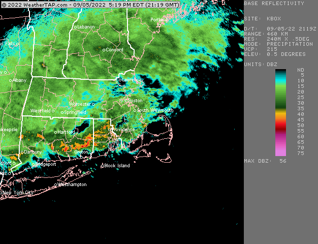
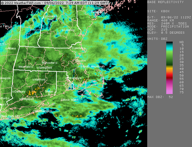
About 3.60” right now. Over an inch in the past 3 hours. Just steady heavy rain but nothing torrential.
-
That’s just the beam being blocked by something close by to the tower.
-
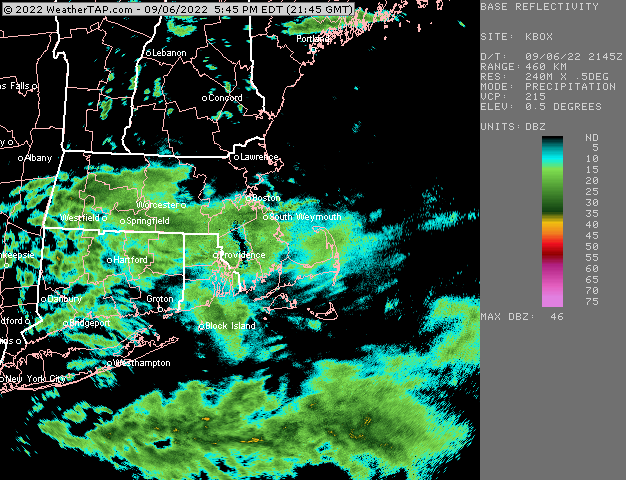
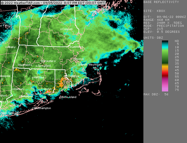
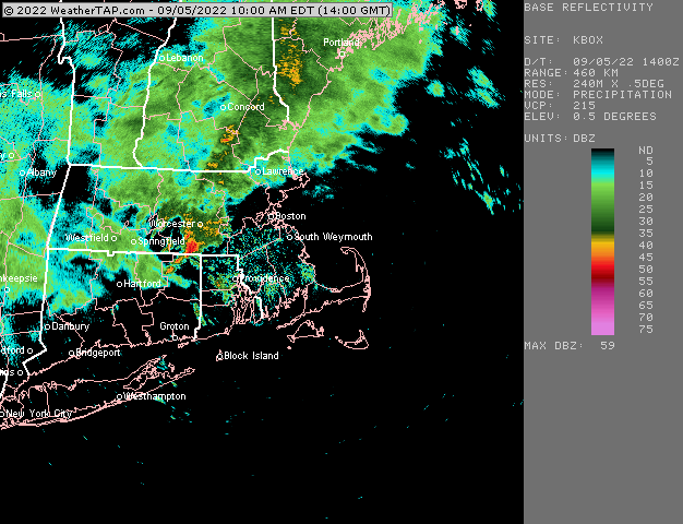
Looks like wxwatcher91 finally got some good rates in HFD too…a nice region-wide soaker
-
Triggered.
-
If that was the radar in a 25F airmass in December you’d be floating face down in your local salt marsh.
-
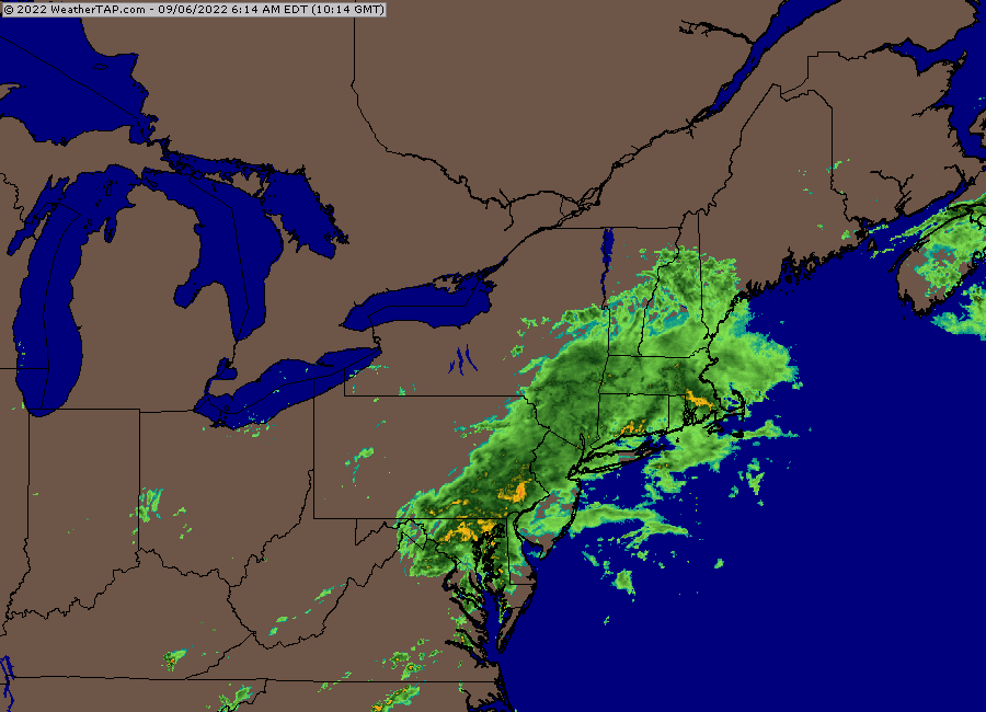
Radar looks like status quo for the next 4-6 hours.
-
About 2.5” here now. Just steady moderate to heavy rain since midday yesterday with one lull mid afternoon.
-
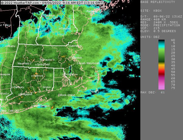
Wow nice. Looks like plenty more where that came from too.
-
Yeah this area of LL convergence was over the pike region earlier this morning when we saw that initial area of convective training…it’s been sinking south all day. No surprise it’s now training down there where it has settled.
-
New thread link
-
The best convective rains right now are lining up with the low level front
-
We don’t do droughts very well in New England. It’s like trying to get a deep cold/snowy winter in Virginia or North Carolina outside of the mountains.
-
Apparently the airplane was stolen too.
-
It certainly acted like a weak Niña with a deeply negative PDO and -PNA
-
The borderline cases are all arbitrary anyway. There is no real fundamental difference between some year like 2008-2009 and 1967-1968 even though ‘08-09 is technically a weak Niña and ‘67-68 is negative neutral. Ironically about 10 years ago, ‘08-09 was considered negative neutral and ‘67-68 was a weak Niña before they adjusted everything.