ChasingFlakes
-
Posts
549 -
Joined
-
Last visited
Content Type
Profiles
Blogs
Forums
American Weather
Media Demo
Store
Gallery
Everything posted by ChasingFlakes
-
Does nobody here think March may bring a Miller b?
-
Is the Kuchera ratio 10:1? I doubt SEPA will see that high of a ratio if its close to freezing.
-
As RedSky said in the PHL subforum, the FV3 will look good in April.
-
Does CAD have an effect in SEPA due to the appalachians or is it more of a localized effect?
-
I was just drooling over these. One can dream. GFS has us getting more next Friday, whereas FV3 has us getting more Tues-wed. I think our best bet is ~8 days out but I'm not much of a met, that's why I like to read these threads. You guys always have interesting input, even if I dont always understand everything. What website do you use to access the euro suite? I've been using tropical tidbits, but something more specific to the northeast or mid-atl would be nice.
-
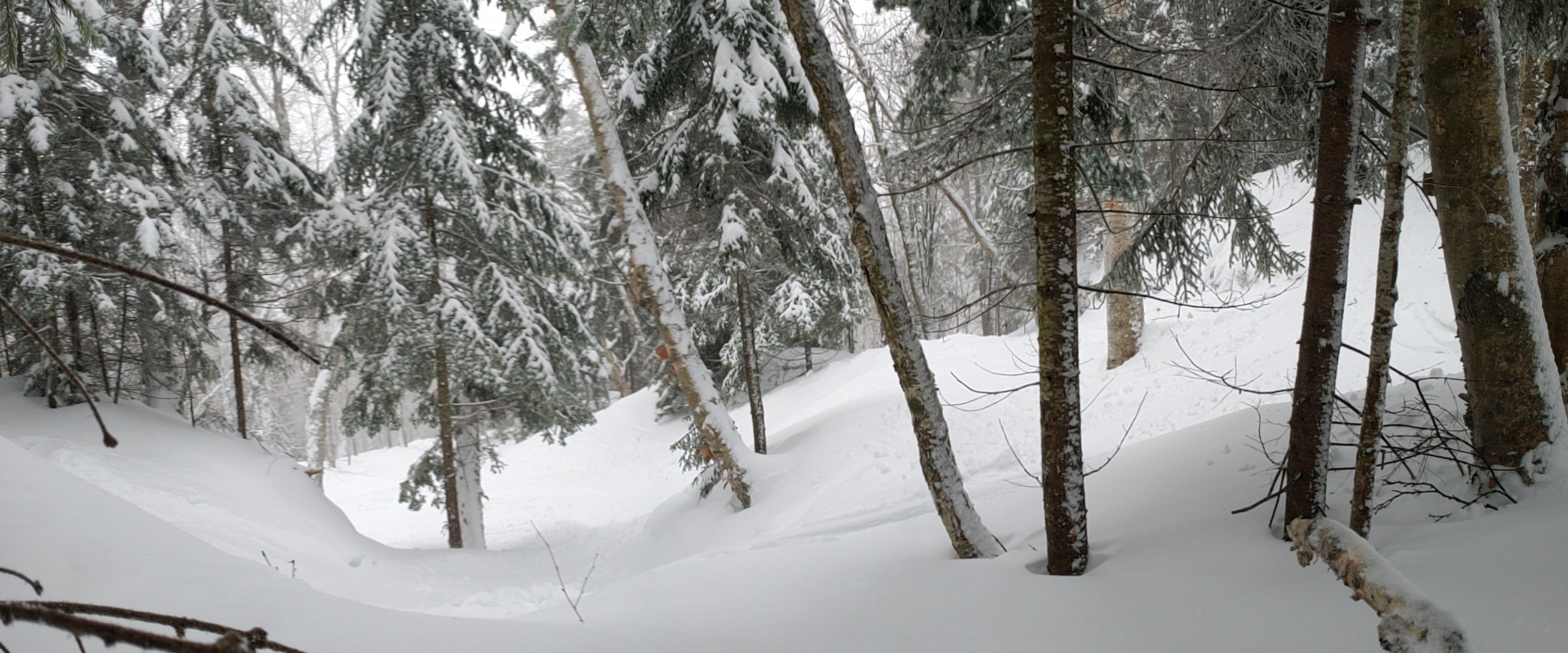
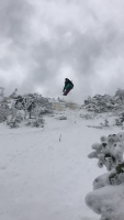
That's good news, I'd love to checkout Brandon's Gap. Ifs awesome what RASTA is doing there. I need to get a splitboard setup for next season.
-
Great videos, I had never heard of Jim O'Brien but he seemed like an interesting character. In regards to snowdances, I normally check the weather models and apps on my phone every six hours and hope and pray I can get out of work when and if it finally does snow. This year I drove from Philly to Northern VT for 39 inches in 4 days between Jan 8th-11th. I wouldn't call that crazy, just committed. As a kid I remember obsessively checking the "weather on the 8s" on everybody's favorite weather TV channel, the weather channel... I'd see the snow forecasts and add up the 1-3 and 5-8 and 3-5s to see the possible totals. I'm basically the same way now with slightly more weather knowledge (not much) and just as much enthusiasm.
-
I'm amazed at the disparity between CVT and NVT. Smuggs and Stowe had an awesome January where seemingly everywhere else was below average. Glad I was up at Smuggs Jan 8th-11th for 38 inches. You'd think thatd scratch my itch, but it just left me wanting more.
-
65 in Phoenixville, I snowboarded in short sleeves yesterday.
-
Can anyone explain the lack of precipitation on radar surrounding the Lancaster area for the entirety of this event? Snow seems to taper off east of York and then pick back up east of 401 near exton/pottstown.
-
Did you guys get anything out of the squall on Wednesday? I was snowboarding during it, blue mtn probably got 1-2 inches. Also I worked an overnight shift at the Lowes in Howell wednesday night doing concrete repair on their floor. I think the low was around -2 if I recall.
-
Definitely more moderate although in the last 5 minutes it has eased back to how it's been for the past few hours. Salted neighborhood streets starting to get a dusting. Driving to Paulsboro, NJ area after I get some sleep, will report how southwest Jersey does from this. Also I've always wondered, but does the higher elevation (only like 1000ft/800ft vert) of French Creek result in any localized higher snowfall totals? Is that even high enough to have any orographic lifting effect? I always feel like my location just on the northside of the ridgeline that runs from coatesville to valley forge always recieves a bit more than towns to my south like Frazer or malvern. And if this is the case then it would be more pronounced at French creek since it's another 400ft higher.
-
Steady snow showers in phoenixville, very dry and fine flakes. I wonder what the snow to liquid ratio is, I'd love to see someone observations on that since it so cold out.

