ChasingFlakes
-
Posts
549 -
Joined
-
Last visited
Content Type
Profiles
Blogs
Forums
American Weather
Media Demo
Store
Gallery
Everything posted by ChasingFlakes
-
Doing work up in little falls NJ, out of our region forsure but it just started dumping a bunch of flurries for 15 min during our break. Fair bit of precip coming across pa. 5 mins later its sunny.
-

February 2019 General Discussion and Observation Thread
ChasingFlakes replied to Stormlover74's topic in New York City Metro
I'm from philly but in working up in Little Falls NJ today and its snowing pretty decently. -
Parts 1 and 2 Obs - 2/10-2/12 Winter Storm
ChasingFlakes replied to KamuSnow's topic in Philadelphia Region
30.2F DP 28.4 winds E @ 9mph Moderate freezing rain, turning more to a drizzle. Ice coating most cold surfaces. Cool to see the temp drop as the wind blows stronger and due east. Not cool for commuters though. -
Parts 1 and 2 Obs - 2/10-2/12 Winter Storm
ChasingFlakes replied to KamuSnow's topic in Philadelphia Region
1.0 inches of sleet as of 1:30 2.3 sun-mon night, 1.4in Tues 12am on (1inch sleet) storm total 3.7inches. Back to ZR now. Probably for good until switch to just rain. -
Parts 1 and 2 Obs - 2/10-2/12 Winter Storm
ChasingFlakes replied to KamuSnow's topic in Philadelphia Region
All sleet now, and its massive. Making impact marks everytime it hits the existing sleet where I just shoveled. -
Parts 1 and 2 Obs - 2/10-2/12 Winter Storm
ChasingFlakes replied to KamuSnow's topic in Philadelphia Region
Pixie dust mixing in with sleet, I'd say half and half. Still heavy precip, cutting visibility to about a mile. No dendrites just columns. -
Parts 1 and 2 Obs - 2/10-2/12 Winter Storm
ChasingFlakes replied to KamuSnow's topic in Philadelphia Region
After 30 mins of zr, its sleeting moderately to hard right now. If this was snow it would be in the 0.5-1.0in an hour range forsure. If it keeps up for any appreciable amount of time, it may start sticking to the roads. -
Parts 1 and 2 Obs - 2/10-2/12 Winter Storm
ChasingFlakes replied to KamuSnow's topic in Philadelphia Region
Some sleet with mostly freezing rain. Picked up about 0.2 inches of sleet so far. 2.9in storm total. The sleet only compacted the total snowcover from 2.1in to 1.9in and there is that 0.2 thick layer of ice on top now that will break with about 5 pounds of pressure. The freezing rain is filling in the sleet making a smoother surface, I just wish it would deep freeze now instead of rain. -
Parts 1 and 2 Obs - 2/10-2/12 Winter Storm
ChasingFlakes replied to KamuSnow's topic in Philadelphia Region
Steady sleet, maybe I'll get 0.25inch if i'm lucky. Pinging my NE facing window nicely as I try to get some rest. Forgot to clear the snow board after measuring 0.3 in, oh well not much compaction even possible there given how crusty the snow feels already. -
Parts 1 and 2 Obs - 2/10-2/12 Winter Storm
ChasingFlakes replied to KamuSnow's topic in Philadelphia Region
Made it up to 2.7 inches total accumulation in Phoenixville starting Sunday evening. Recorded 0.3 in new snow from midnight to 7am. Just started lightly sleeting here. 2.1in on the ground. FR now, so lame I couldn't work today because NJ issued a state of a emergency and commercial travel ban on most majors. Edit: Sorry my math was off this morning by 0.3 inches, simple addition prior to coffee is a no go. 2.7 inches total in Phoenixville, 1.5 sun to mon, 0.8 mon night, 0.4 Tues morning. Sleet and zr here. -
Parts 1 and 2 Obs - 2/10-2/12 Winter Storm
ChasingFlakes replied to KamuSnow's topic in Philadelphia Region
But I want to play hockey in my backyard like we did in 07. Also, my total expected rainfall was upped from about a half an inch to about an inch. I wonder how much of that will be ZR, or if we'll change directly from sleet to rain. The heaviest precip is coming right when the switch over to sleet is going to occur so it could be interesting for a few hours. -
Parts 1 and 2 Obs - 2/10-2/12 Winter Storm
ChasingFlakes replied to KamuSnow's topic in Philadelphia Region
Underwhelming, fitting to our winter. We'll see what the ice has in store. Will measure around 6am, I would go measure right now but I cant be asked to get out of bed since we canceled work. Hoping the sleet doesn't lead to too much compaction before I measure. I know you're supposed to wipe the board once it starts sleeting. I'd guess another .4 or .5 max. -
Parts 1 and 2 Obs - 2/10-2/12 Winter Storm
ChasingFlakes replied to KamuSnow's topic in Philadelphia Region
0.8in phoenixville as of midnight for round 2. Supposed to work at 5, doubtful. Will update at 6am if possible, I wiped the board. 2.8inch total from sun night. -
Parts 1 and 2 Obs - 2/10-2/12 Winter Storm
ChasingFlakes replied to KamuSnow's topic in Philadelphia Region
0.4in in phoenixville @ 10:40pm, started at 7:45pm. 0.13 inch an hour average but started light. Moderate to light snow now. 31F DP 29F -
Parts 1 and 2 Obs - 2/10-2/12 Winter Storm
ChasingFlakes replied to KamuSnow's topic in Philadelphia Region
The mention of birds, forum member or not, reminded me that I saw a screech owl hunkered down in a hole in a tree in my backyard before the snow arrived yesterdqy. He wasnt there today, but he had been here last March prior to a storm. Light snow 32F DP 30F -
Parts 1 and 2 Obs - 2/10-2/12 Winter Storm
ChasingFlakes replied to KamuSnow's topic in Philadelphia Region
Did you accumulate anything during the afternoon? Phoenixville didnt see snow until 7:45. Also it's always cool to drive from the bottom of the hill I live on which is 150' in elevation at the bottom, to 600' at the top. Just that 400-500 ft elevation change is noticeable as the driveways and road always accumulate up top first. The lawns also always hold more snow despite the same northeast aspect. That 1-1 1/2 degree F average temperature difference during precipitation can be noticeable in marginal mixed events like this. -
After sitting 3-10 miles above the northern edge of radar indicated snowfall since noon, it is finally snowing lightly.
-
How about NE chesco? A little less snow and possibly switching over to rain/sleet sooner?
-
Parts 1 and 2 Obs - 2/10-2/12 Winter Storm
ChasingFlakes replied to KamuSnow's topic in Philadelphia Region
Yeah, I'll likely hold off then. Not worth risking it for 7" of wet snow and having to drive back in an ice storm. -
Parts 1 and 2 Obs - 2/10-2/12 Winter Storm
ChasingFlakes replied to KamuSnow's topic in Philadelphia Region
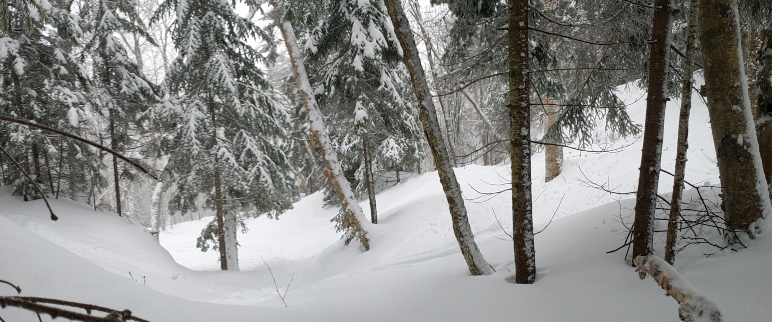
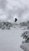
How sketchy would a drive from Northeast PA (Elk Mountain) back to my hometown in SEPA be after 4 or 5 PM tomorrow? Most likely not working tomorrow and might want to get some riding in before we get washed away. Looks like the changeover to mainly sleet up there won't be until around 4pm. I feel like with the relatively warm temps, salt should keep the roads free of ice. Not too worried if I cant make it up though, I had a lot of awesome powder trips in VT this year already, but it would be nice. I have an AWD Subaru with all seasons, it handled -20F (-65 windchill at Magic Mtn 1/21) and nearly 40 inches of snow (Smugglers notch 1/8-11) so far this year, so what's a little ice? Also, I ended up with 1.5 inches. -
Parts 1 and 2 Obs - 2/10-2/12 Winter Storm
ChasingFlakes replied to KamuSnow's topic in Philadelphia Region
Yeah I can see very small traces in Woodbridge Township Nj just south of Linden. So it checks out that there was light trace amounts in southern Newark, NJ this am. -
Parts 1 and 2 Obs - 2/10-2/12 Winter Storm
ChasingFlakes replied to KamuSnow's topic in Philadelphia Region
We finished up real quick and it was dark this am, I'll lyk the first town along NJ turnpike that has trace amounts. -
Parts 1 and 2 Obs - 2/10-2/12 Winter Storm
ChasingFlakes replied to KamuSnow's topic in Philadelphia Region
Yup Newark, NJ. Working in a beer distro at port of NJ today. -
Parts 1 and 2 Obs - 2/10-2/12 Winter Storm
ChasingFlakes replied to KamuSnow's topic in Philadelphia Region
Just a dusting in Newark as I pass through. -
Parts 1 and 2 Obs - 2/10-2/12 Winter Storm
ChasingFlakes replied to KamuSnow's topic in Philadelphia Region
My girl lives just west of you, she must have done well too.
