

Ruin
-
Posts
918 -
Joined
-
Last visited
Content Type
Profiles
Blogs
Forums
American Weather
Media Demo
Store
Gallery
Posts posted by Ruin
-
-
This is for the 9th my forecast is sunny and surprisingly 48 haven't the weather forecasts caught up? Or is this still s outside chance
-
overcast after a few hours of mostly cloud skies then started to lightly rain. temp never got above 47 here
-
31st high for me was 46 forecasted for 50 down to 44 here. but its just odd this whole week its been mostly sunny during the day. clouds roll in over night even tho for most of the nights we had no systems move through. So kept the over night lows 10 degrees above forecasted lows.
-
9 hours ago, Ahoff said:
Overperformed temperatures today. Gross.
Forecast here was 50 Middletown was 52 hia airport showed 56 at one point i live within 3 mins of Middletown and just a min from hia I thought they all got reporting from same area I guess not
-
forecast was 28 only hit 23 even tho we warmed up last night 8 degrees somehow with no cloud cover. we still came in 5 degrees short
-
1 hour ago, Voyager said:
We are going to pay the price for this beautiful Christmas weekend here in the desert. Check out the forecast (and high end rainfall potential) for the middle of this upcoming week.
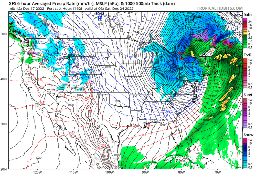
Tuesday NightCloudy. A slight chance of showers in the evening, then a chance of showers after midnight. Not as cool. Lows 49 to 54. Chance of rain 50 percent. Rainfall up to a half of an inch possible.WednesdayShowers and cooler. Highs 57 to 63. Chance of rain 80 percent. Rainfall up to three quarters of an inch possible.Wednesday NightShowers likely. Lows 48 to 53. Chance of rain 70 percent. Rainfall between a quarter and a half of an inch possible.ThursdayShowers likely in the morning, then a chance of showers in the afternoon. Highs 56 to 61. Chance of rain 70 percent. Rainfall between a quarter and a half of an inch possible.The thing that gets me is that 6 to 7 days before the code snap the Arctic blast the forecast for Christmas weekend Friday Saturday Sunday was temps in the mid to upper 40s with maybe a shower but otherwise whether uneventful. And what happened 4 days before the Christmas weekend size and Arctic blast to the point that they said this could last for several weeks early on my temperatures for next week we're in the twenties all week and you know people bought it as gospel now people see a warm up which will probably happen like it always does but models this far out cannot predict weather for anything it's the best guess case scenario.
-
8 hours ago, CAPE said:
My argument to this is that 6-8 days before this artic cold they forecasted highs in the mid 40s to upper 40s from va md de pa. So I wouldnt put to much stock in what this says atm. with that said it most likely will happen just to screw us over lol. but its hard to predict any thing with these models a few days out let alone a week plus
-
abc 27 local station forecast was for 6 for a low tonight its all ready 3. hour by hour accuweather has me going from 4 too 9 between 4-5am lol dunno how thats a thing.
-
my area never got to the forecast high of 53 only got to 47 now down to 42
-
as always back side snow overdone on models normally drys up in real life.
-
I do have a question tho last night got down to 26 when I was on my second break from work 1030pm then my last break at 1230am warmed up to 31 no cloud cover no winds? at surface lvl how can that happen?
-
lol talk about late state college
-
7 hours ago, Blue Dream said:
Isn’t PHL part of the Mid-Atlantic?
I never understood this either on here. grew up in southern PA and MD we always counted PA DE MD VA for the mid atlantic
-
 1
1
-
-
7 minutes ago, pasnownut said:
I'm just not feeling this one. I was hoping for more spacing between the 2 systems which would give the coastal/Thurs event a better chance for front end loving, but the cutter is close enough to screw it up and put a wreckin ball to any chance of that happening IMO.
I'm pullin for the snow maps shared to have some merit, would be great, but count me out for part 1.
Part 2 has been rather consistently modeled for some time now, and the anafrontal snow/snow shower deal looks legit for many. Beyond that and parsing over the ensembles was a real debby, and it may take a while for the "reload" to happen. Oh well.
Im done with models they are not accurate at all when we need them to be lol. 4-6 days out major snow with cold. but in one model run it goes from costal to lake cutter thats a complete joke

-
1 hour ago, canderson said:
RGEM is a shit model, don’t ever forget that.
That said the 0z GFS gives MDT a good 7” via kuchera (and up to 9” put in MAG land) with the anafrontal. I don’t believe it but it’s there. Just as the NAM gives us none.
Why is this even a model then
-
If it doesn't wash away the temps mid 50s it will melt
-
Rgem isn't that accurate right
-
 2
2
-
-
I had a feeling the pre Christmas storm not only wouldnt happen it would be warm and rainy just sadly how things happen all the damn time. if some how we did get a few inches of snow it would warm up only to melt before christmas like it did a few years back.
-
lol complete joke sigh
-
32 minutes ago, Blizzard of 93 said:
Remember last March 3 to 5 inch region wide snow from a post Front situation?
I dont recall that since I was just getting over covid and had 2 deaths in my fam
but normally I dont recall post frontal passages doing much it either doesnt cool off enough and its still all rain or it just dry's up.
-
4 hours ago, paweather said:
This is the best we can do post frontal snow
post frontal snows never really pan out for me in my area near harrisburg always a joke sadly
-
1
-
-
8 hours ago, pasnownut said:
dont see that on any maps that I'm looking at. Solid week of cold to follow next weeks grinch stole our white christmas storm
they no longer have it but around 5am6am yesterday they had me in the 40s most likely was changed some point today
-
I'm just disgusted lol
-
1
-
-
We look to go back to the 40s right after the only 2 days of cold


January Mid/Long Range Disco 2
in Mid Atlantic
Posted
that snow map dont look legit lol