LeesburgWx
-
Posts
2,004 -
Joined
-
Last visited
Content Type
Profiles
Blogs
Forums
American Weather
Media Demo
Store
Gallery
Everything posted by LeesburgWx
-
Hype the media hype train now boyz!
-
Worst case here. Tampa certainly looks in a precarious spot per latest models but still a long ways to go.
-
Looks like this is about to be a big US impact event coming up from Florida into the southeast.
-
2022 Mid-Atlantic Severe Wx Thread (General Discussion Etc)
LeesburgWx replied to Kmlwx's topic in Mid Atlantic
Sky is looking legit to the west now and Thunder getting louder -
2022 Mid-Atlantic Severe Wx Thread (General Discussion Etc)
LeesburgWx replied to Kmlwx's topic in Mid Atlantic
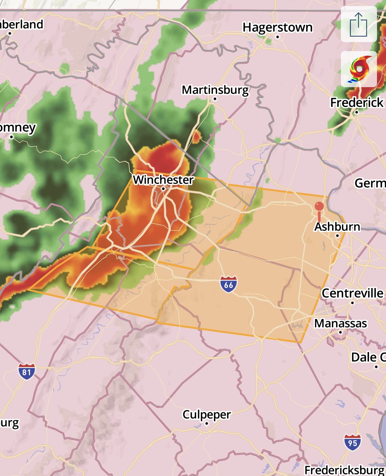
Radar looking for us to get hit hard. Let’s go! Hope it holds strength over the ridge!
-
2022 Mid-Atlantic Severe Wx Thread (General Discussion Etc)
LeesburgWx replied to Kmlwx's topic in Mid Atlantic
You know how it goes, we are too far west for severe and too far east for snow in Loudoun. -
You live 3 feet from the Fairfax County border??
-
Loudoun was left out to dry last night. Glad it’s raining now
-
2022 Mid-Atlantic Severe Wx Thread (General Discussion Etc)
LeesburgWx replied to Kmlwx's topic in Mid Atlantic
-
2022 Mid-Atlantic Severe Wx Thread (General Discussion Etc)
LeesburgWx replied to Kmlwx's topic in Mid Atlantic
Trying to nurse my weather station back but was 35 or so as of my last reading. It was a legit storm -
2022 Mid-Atlantic Severe Wx Thread (General Discussion Etc)
LeesburgWx replied to Kmlwx's topic in Mid Atlantic
Last one here: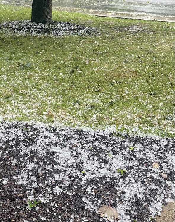
-
2022 Mid-Atlantic Severe Wx Thread (General Discussion Etc)
LeesburgWx replied to Kmlwx's topic in Mid Atlantic
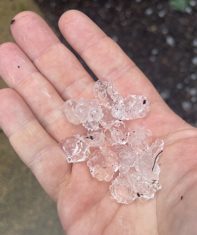
-
2022 Mid-Atlantic Severe Wx Thread (General Discussion Etc)
LeesburgWx replied to Kmlwx's topic in Mid Atlantic
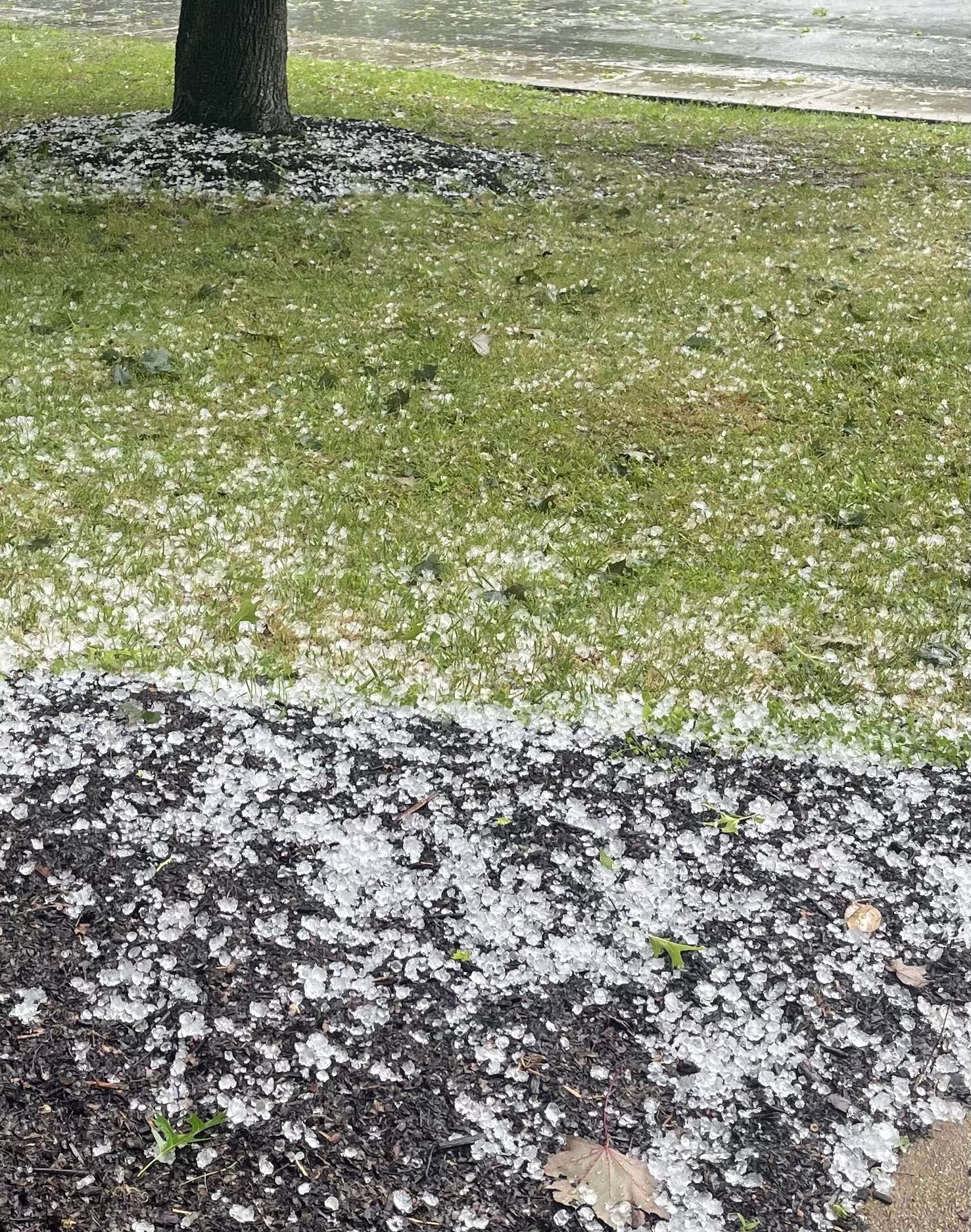
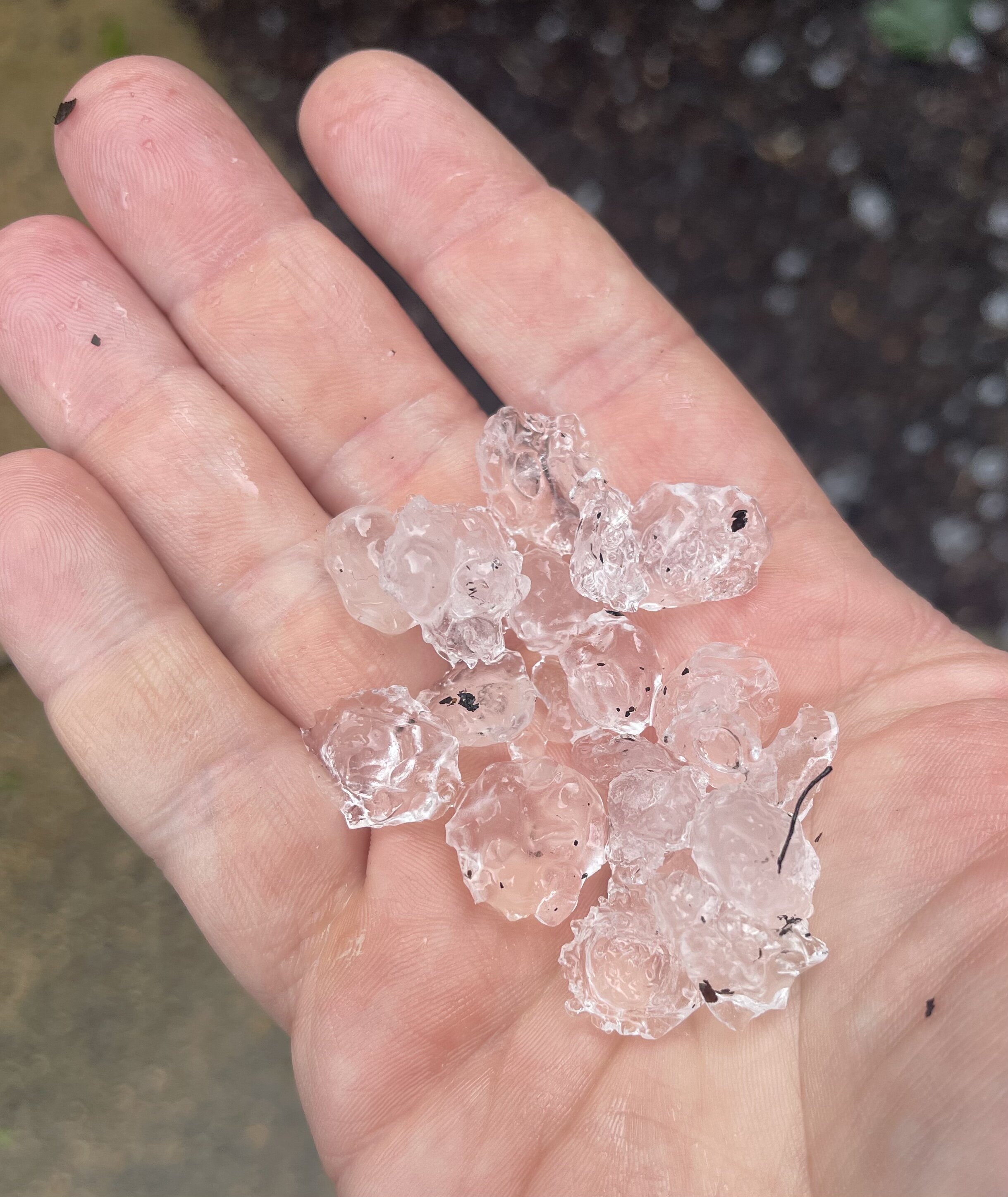
Just got wrecked with hail in downtown Leesburg. Marble sized! -
3/12 Event: Winters Last Hurrah at Least East of Mountains
LeesburgWx replied to Weather Will's topic in Mid Atlantic
33 degrees and snowing hard, winds howling boyz! -
3/12 Event: Winters Last Hurrah at Least East of Mountains
LeesburgWx replied to Weather Will's topic in Mid Atlantic
Ok so timing wise, rain changes to snow early am, then blizzard 8-11am, then snow+ after that until late afternoon? Then low teens/single digits tomorrow night? Also, 40-50mph winds? Is this about right? -
3/12 Event: Winters Last Hurrah at Least East of Mountains
LeesburgWx replied to Weather Will's topic in Mid Atlantic
We’re a snow town now -
3/12 Event: Winters Last Hurrah at Least East of Mountains
LeesburgWx replied to Weather Will's topic in Mid Atlantic
Y’all tell me how in mid-March we get a-trending blizzard potential up to start time on models but in Jan/Feb, we couldn’t buy a 50 miles shift 180 hours out… -
What’s the high end potential here?
-
Checking in after seeing a Twitter post about snow. We getting a 93’ Redux?
-
WOW at the NAM. Just got back on the computer. NAM is in it's wheelhouse now right? And sorry SE friends, you all got Jan 3rd. It's our turn to the NW...
-
Loudoun left out of WWA?
-
2 seems like a real possibility for most. I bet someone scores a surprise 4” in NOVA. Regardless, I miss my January snowpack so looking to get some back here.
-
We got the precip orientation trend we needed in the last couple runs. Now let’s just juice this up as much as possible between now and tomorrow night
-
Blend HRRR and NAM gives Leesburg Jackpot snow. #sold
-
Euro trended NW with the other models. I’ll take that and the high resolution (nam-ings) and run to the bank.