Miss Pixee
-
Posts
390 -
Joined
-
Last visited
Content Type
Profiles
Blogs
Forums
American Weather
Media Demo
Store
Gallery
Everything posted by Miss Pixee
-
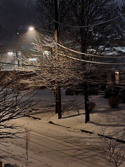
Windy, sunny. Snow blowing above from roofs, ice underneath on the ground. Icicles! 24 degrees at 1:30 PM
-
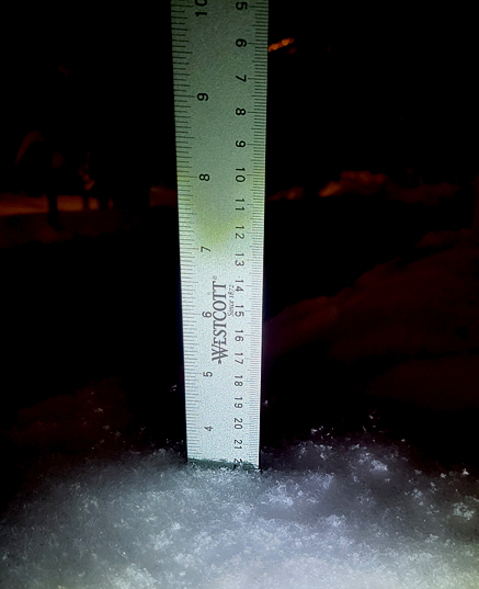
5.75" total both storms here. It's still doing some kind of weird snizzle you can't see. At 5PM I finished shoveling the driveway, walkway and steps. They are now covered again with like a half inch! AND for those of you in love with having the streets staying covered overnight for days know that I'm not a fan when you get black ice and runoff freezing underneath, especially when you're on a steep incline or slope. I've had enough trips to the bottom of the driveway in three seconds! Holding at 28/DP19
-
Still snowing. Big/small flakes mixed, some wind. 31/26D
-
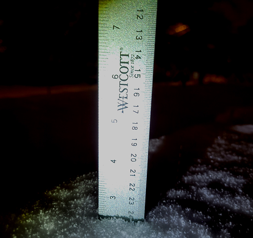
30/26 dewpoint down a couple of ticks. Got a few updated shots while on break. Even the birds are checking it out! It's snowing sideways. 3" and rolling on...
-
Ja ja Ja...bump bump bump bump!
-
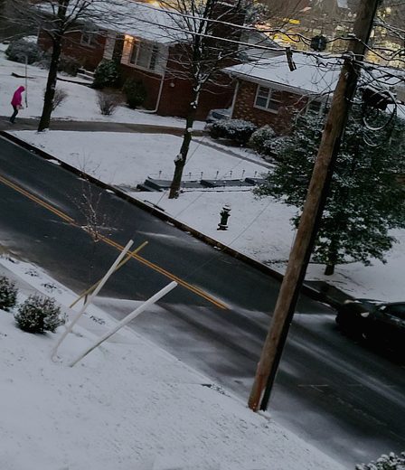
A little late to the party...snow plow woke me up at 6:30 AM so I figured get pictures! So I did. A little goodness from SE DC...holding at 30/28D. Early AM shots
-

Jan 19th Snow on Snow: the this always works until it doesn't thread
Miss Pixee replied to psuhoffman's topic in Mid Atlantic
The purple blob creeps closer...reaching...REACHING -
Jan 19th Snow on Snow: the this always works until it doesn't thread
Miss Pixee replied to psuhoffman's topic in Mid Atlantic
Everybody grab that light blue and pull...PULL!!
-
19/8DP 4:42 AM. Water broke loose like a geyser into the streets around 7pm, fixed by 10pm.
-
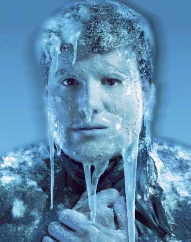
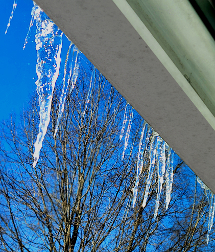
Sometimes meltdowns are beautiful. I love me some icicles.
-
Jan 18-19 Storm Threat: Bob Chill made me do it
Miss Pixee replied to stormtracker's topic in Mid Atlantic
This. I scroll on this site as much as I read and enjoy. The fake insta panic about every run, or foggy past memories and nostalgia of snowstorms can be cringe worthy. I asked one of the mets at CWG if the Appalachian mountains were flattened would we get more clippers at this confluence of water body, mountain and lower plain. The answer was yes! So if you want more snow, our duty is clear. Blow those suckers up!!
-
15/6DP wind chill -2. BRRRR
-
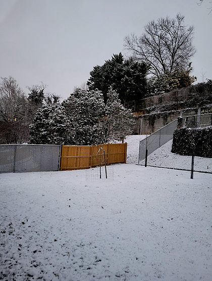
Nice solid event for all. Getting intermittent 'flizzy' but nothing I expect to add to totals. "Powder" is a misnomer here...we don't get dry hi ratio snow like Colorado. Same latitude, different climo. Lots more moisture and different elevation. And we have more immediate water bodies around. LMAO a little Parking Enforcement car rolled through this morning. Gotta collect that cash for the city! Anyone in snow emergency spaces beware! A couple of looks of nice, solid white blanket...soothing.
-
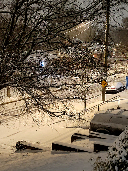
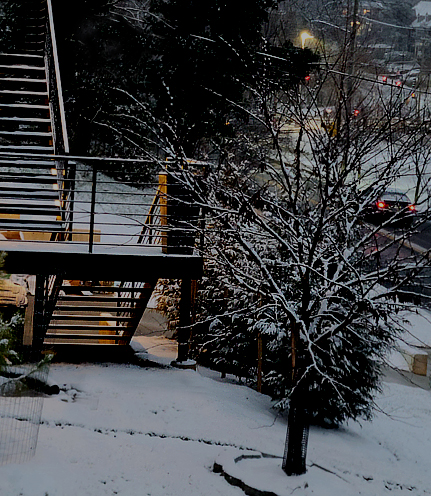
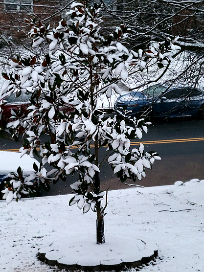
Finished cleaning the cars and shoveling the driveway about half an hour ago. Early dawn pics...SE quadrant well represented at 3.5". Light snow just started again! Small plow came through before these shots were taken. Holding firm at 29 degrees.
-
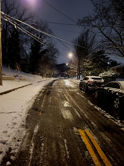
Things steady here in SE DC at 29......moderate snow. Looks fluffy but it's more like paste with a lot of liquid. Streets and driveways caved after 8pm. 2 1/2" flat so far.
-
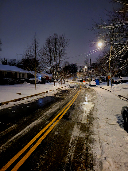
Snow always looks good under the lights!
-
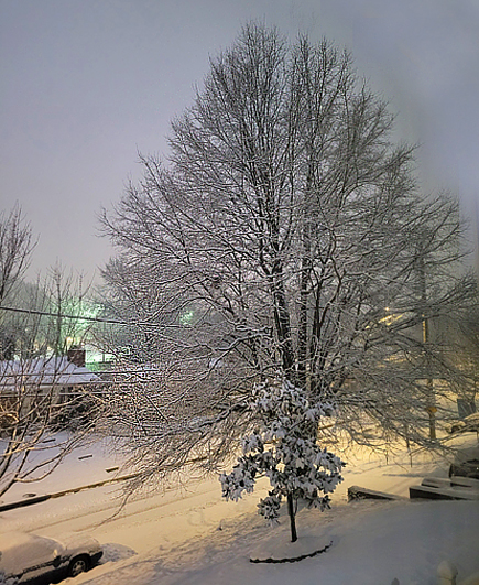
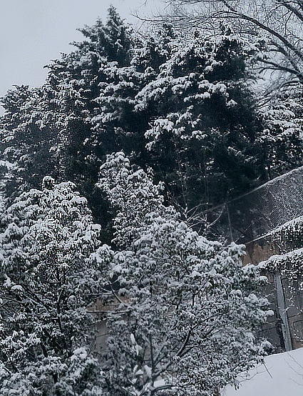
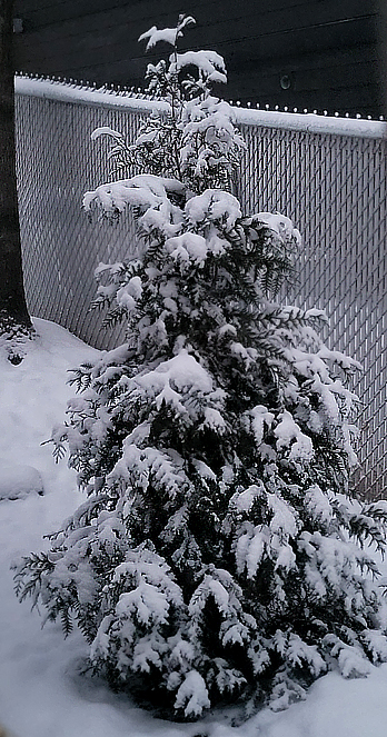
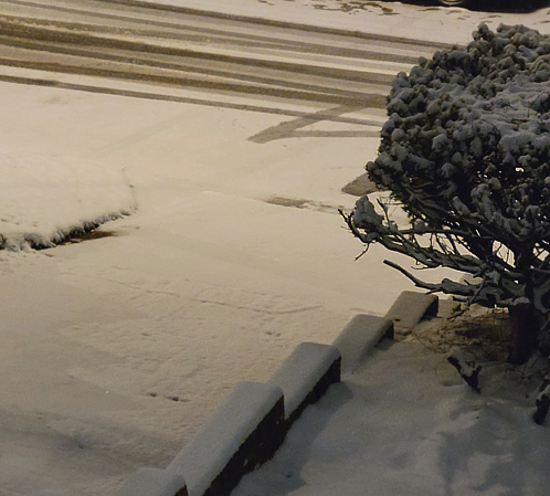
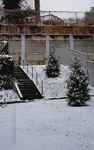
Rest of the gallery...air is very crisp and chilly. Snow is light.
-
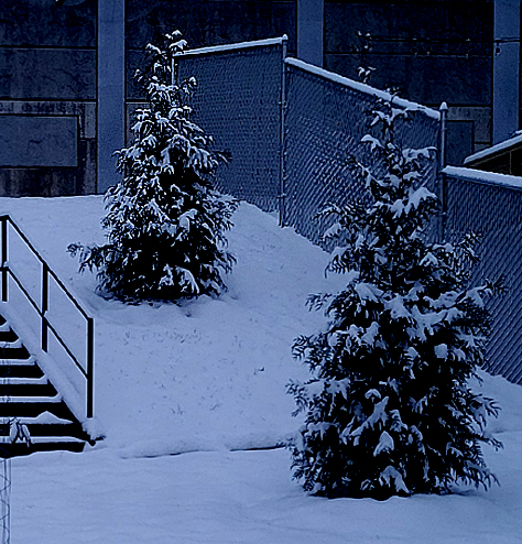
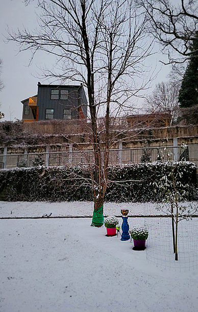
Trees nicely done and fresh.
-
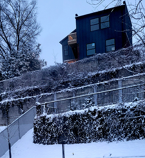
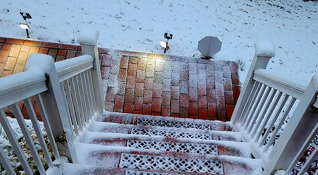
28/26D Very relaxing in far SE DC. Streets starting to cave. Taken about an hour ago. Nice cover everywhere.
-
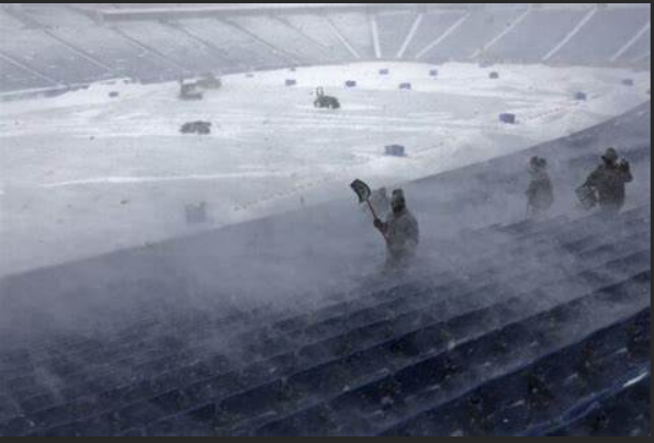
LOL ESPN just showed they're still desperately trying to dig out snow for the Bills game. Apparently it kept going until 11 AM. Everything is still buried in snow. They had a handful of people with shovels at the stadium. Good luck with that...they'll be lucky to be finished by next week.
-
I'm in DC and the snow is accumulating. Not sure where all these assumptions are coming from. Around 9AM streets were covered but then cleared around 11am (dewpoint went up). Snow has gotten denser in the last few minutes. Will post updated picture later. Holding steady at 29/17, dewpoint dropped a tick. BOOYA.
-
29/18D Steady light snow small/large flakes mixed together. Roads covered this morning are now clear. Good coverage on grass. No wind, snow falling straight down.
-
27/13DP Cloudy, off and on light snow. ~1". Street snow in patches.
-
26/5DP Powdery dusting on cars and grass.