

Miss Pixee
-
Posts
390 -
Joined
-
Last visited
About Miss Pixee

-

Big Heat (and storms?) Week into July 4th Weekend
Miss Pixee replied to yoda's topic in Mid Atlantic
All local news channels (4, 7, 9) reporting DC at 102. -
Big Heat (and storms?) Week into July 4th Weekend
Miss Pixee replied to yoda's topic in Mid Atlantic
98/68 dp at 12:13pm no clouds I'll let y'all do the math at this point. -
Big Heat (and storms?) Week into July 4th Weekend
Miss Pixee replied to yoda's topic in Mid Atlantic
The reputation is legendary. -
Big Heat (and storms?) Week into July 4th Weekend
Miss Pixee replied to yoda's topic in Mid Atlantic
Channel 7 announces new record for today 102 in DC. Burn baby burn... -
Big Heat (and storms?) Week into July 4th Weekend
Miss Pixee replied to yoda's topic in Mid Atlantic
My ridiculous south front porch has now ticked to 106 flat. Don't think I'll be out there sipping no mai tais... -
Big Heat (and storms?) Week into July 4th Weekend
Miss Pixee replied to yoda's topic in Mid Atlantic
If we're gonna roast, may as well bring the bacon grease. A balmy 105 on my south facing porch in the shade... -
Big Heat (and storms?) Week into July 4th Weekend
Miss Pixee replied to yoda's topic in Mid Atlantic
101 / 40% humidity HI 110 -
Big Heat (and storms?) Week into July 4th Weekend
Miss Pixee replied to yoda's topic in Mid Atlantic
98 75dp 112 hi in sunny SE. A cracking 101 on my porch in the shade -
March is the pneumonia month every year. Hold on to your sinuses...

-
Bright and sunny now. Welp...

-
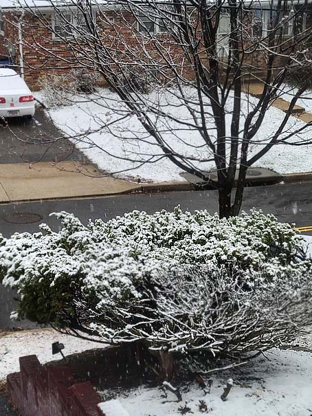
Taken at 2pm...
-
Snowing like a mofo in SE...got some car toppers, coverage on grass. Love it!

-
80 in March is stink, mud and bugs. Hard pass with months of spring to go.
-
Outta gas and Outta Time: Early March Winter Storm finale
Miss Pixee replied to Ji's topic in Mid Atlantic
Moderate snow, steady. Grass and bushes covered. 33/DP 24. -
Outta gas and Outta Time: Early March Winter Storm finale
Miss Pixee replied to Ji's topic in Mid Atlantic
33 degrees after near 70 yesterday. screwy weather, typical March.


