KoalaBeer
-
Posts
636 -
Joined
-
Last visited
Content Type
Profiles
Blogs
Forums
American Weather
Media Demo
Store
Gallery
Everything posted by KoalaBeer
-
Some nasty looking cells popping in OK now in quite the favorable environment. At least the cell heading towards the OKC metro is looking on the downtrend as it might be getting robbed of its potential by surrounding storms.
-
Ya I don’t necessarily like tossing out numbers based of photos etc, but I’d bet my left nut this will be rated EF4+ Saw a few photos of asphalt ripped from the road as well.
-
Greenfield drone footage. No matter how many times I see it, it never ceases to amaze me how one home can be slabbed and houses a block away are relatively unscathed. Really high end damage, will have to see what the survey crews find.
-
-
DOW is on that Greenfield IA storm. Probably going to get some wild data out of that storm. Appears the town might have just taken a direct hit. https://x.com/DualDoppler/status/1793019643906359782
-

The Congrats Dendrite Deck Destroyer 3/23-3/25 obs discussion
KoalaBeer replied to Ginx snewx's topic in New England
Thunder and lightning here in Portland ME currently. -
1/13/24 Sultan Slicer #2 - Heavy rain, snow, wind?
KoalaBeer replied to Torch Tiger's topic in New England
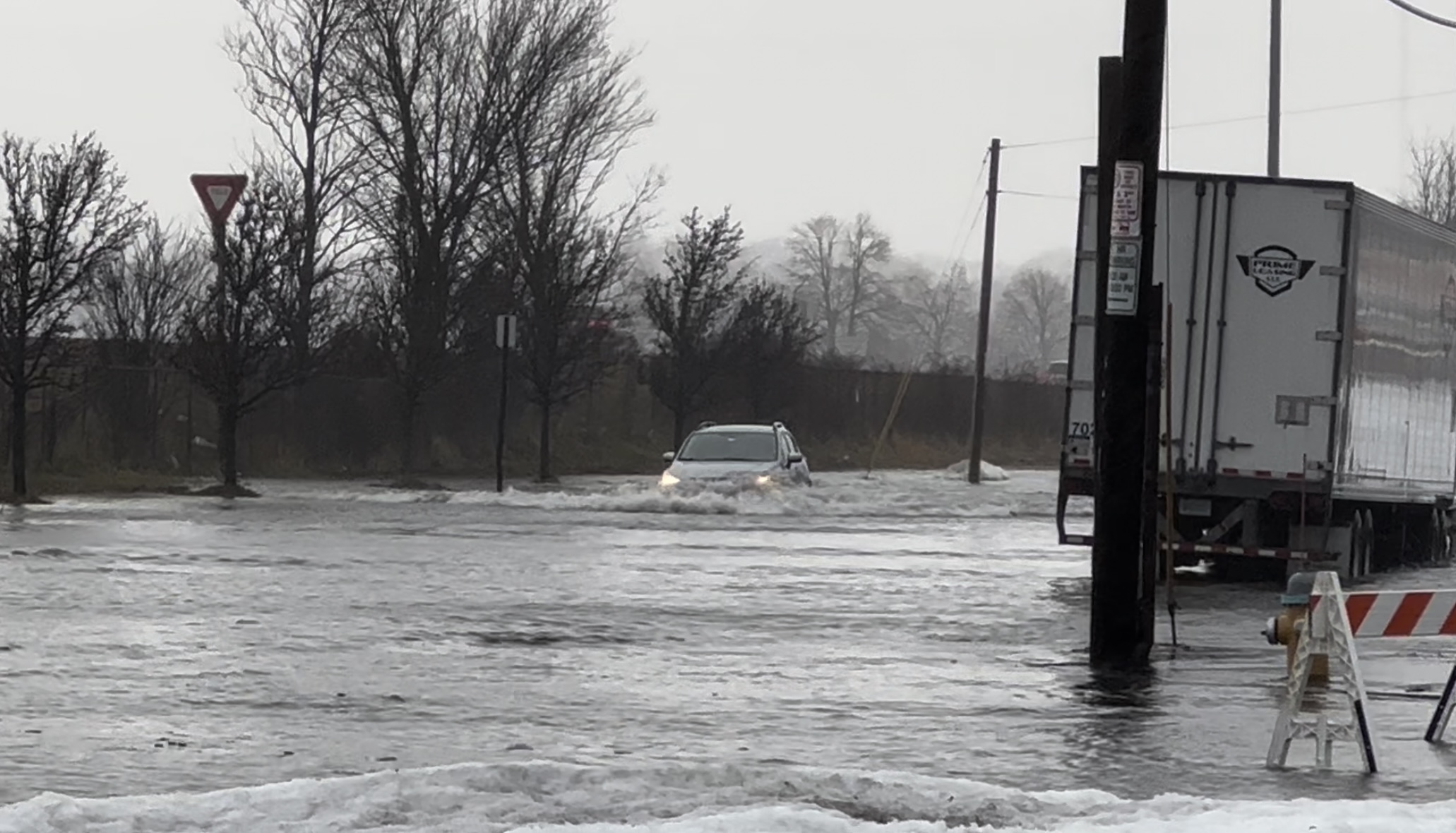
13.92 ft in Portland and rising. Starting to flood good down here at work.
-
1/13/24 Sultan Slicer #2 - Heavy rain, snow, wind?
KoalaBeer replied to Torch Tiger's topic in New England
12.82 ft and climbing. I work in the back cove so we’ll see how high it gets. Cinnamon Rainbows cam in Hampton is rocking. https://www.cinnamonrainbows.com/surf-cam-report https://tidesandcurrents.noaa.gov/stationhome.html?id=8418150 -
-
That was wild, WTF with the two sedans who casually drove right by them as they intercepted.
-
Reed with a large tornado on the ground in NE. Edit: I didn’t know they were in the dominator, they just took a direct hit.
-
Scorcher here at Waterville but what a fun spring day.
-
Multiple? Wtf…
-
Pretty speechless that we have this many discreet TOR producing cells still. Robards KY area has two possible tornadoes following just about the same path right behind each other.
-
Put this one in the tornado hall of fame.
-
Well Reed could of got killed in a car accident. Sherman and Wynne damage looks bad.
-
Looks like TOG by Sherman IL north of Springfield. Cell in Wayne IL needs to be closely watched in a very populated area, no TOR warning on that yet.
-
Looks like Charlotte Iowa just took a direct hit. Significant CC drop on that one. STL bound storms thankfully petered out some. The recently TOR warned storms in Arkansas are concerning for the Memphis metro downstream. That storm that went through Covington might be the one of the outbreak…maybe the most significant outbreak I’ve tracked since 2011.
-
Charles Peek had homes slabbed in Wynne. Same cell is about to impact Covington, TOR emergency issued. Dire situation there.
-
Yeah that TOR warned cell by Bourbon MO is aligned to head right towards the STL metro….dangerous situation shaping up for them.
-
Longer video. That thing went from relatively mellow to violent extremely quick. I don’t know anything about the chasers so I’ll refrain on talking about that but they put themselves in quite the precarious spot there.
-
The ugh downstream implications of that are not good if it holds.
-
Other cell moving through Little Rock is paying a visit to those south of the last one. Very surprised it isn’t TOR warned yet. edit: there’s the warning
-
Pretty absurd day already shaping up. NWS Little Rock might have just taken a direct hit. Cell approaching Peoria is insane looking.
-
Direct hit on NWS?