

SnowDawg
-
Posts
1,253 -
Joined
-
Last visited
Content Type
Profiles
Blogs
Forums
American Weather
Media Demo
Store
Gallery
Everything posted by SnowDawg
-
Step backwards from 6z on euro, no sugar coating it. Quite a bit more positive tilt and weaker. Given the base state towards positive tilt/dry systems it’s certainly a concern.
-
Great info, thanks. I’ll say, I hate feeling like I’m pulling against you guys down south and east cause I know historically speaking you guys get chances way less than we do. But it’s been such a bad stretch up here that I almost need the atmosphere to prove to me that it can still do it for my sanity.
-
Last night I was thinking the setup reminded me of January 28 2014. I’d happily take that. If it wants to go ahead and repeat February of 2014 as well I might just cry tears of joy lol
-
I’m biased but I’m not sure there are many places in the country that have gotten the shaft over 4-5 straight winters the way that region from NE Ga into the Upstate and foothills has. Especially considering there are many locations in there that had never recorded a winter without snow until going multiple years without, a streak finally broken by a few inches of wet wintry mix last year. I mean I live at around 2000 feet in the north Ga mountains, yet Albany GA has more snow than me over a 4 year stretch. Unfathomable…. We are due a win.
-
I swear…. I am not emotionally mature enough to handle it snowing in deep south GA for a 2nd year in a row while I get nothing. Please save me NW trend lol.
-
MJO looks likely to be headed towards phase 8 so odds are any risk of extended warm will hold off at least through the end of the month. Plus this upcoming strong westerly wind burst in the pacific could enhance our subtropical jet, and kill of the La Niña entirely in pretty quick fashion.
-
GEFS looks pretty good starting this weekend. Interested if it will consolidate around a single threat/timing because there are members showing snow anywhere from the 17th-21st.
-
Well I got almost 6 inches of rain this weekend so I must be getting buried with snow soon then right? RIGHT?!?
-
Truly think this is our biggest problem. The northern stream is very progressive right now, especially without better wave spacing, so we need something to jam up the flow a bit. Need some blocking over Greenland, a stout 50/50, or ideally both.
-
Yeah, for a few days there it looked like it was gonna go super zonal and just flood the continent with pacific air, but now it looks like maybe a brief moderation then cycles back by late month. Makes sense given the MJO progs as well.
-
I guess at this point I’m hoping to see maybe an inch out of the first one if I’m lucky. Can’t throw in the towel on the second one yet but man, I actually had a little hope in that one.
-
I just don’t know what it takes to get a decent snowstorm on the east side of the mountains into the foothills anymore. Feels like west of the Apps has been on quite a run for years now, and then the coastal storm left us high and dry last year. For an area that historically probably has the highest average snowfall in the southeast outside of the NC/TN border, just an epic run of awfulness.
-
Idk but seems to me like on the runs the 1st one is stronger the 2nd one doesn’t work on the GFS.
-
And over 4.5 of that is just from midnight to around 2 when it started to clear. Lots of flash flooding.
-
Can’t complain at all about the look on the 2nd one but it is so close to something even bigger. That energy over Baja stretches the southern shortwave a little flat and dampens it just as it’s getting going, then the coastal picks up on the east coast. Keep that energy more consolidated and maybe get a full fledged closed low in the gulf.
-
5.51” total here. Don’t remember forecasts being quite that high. Upslope enhancement never fails along the southern escarpment. Now if we could just get a synoptic snow setup with some southerly flow.
-
Euro ai isn’t as bad. Thermals are iffy but idk much about how these ai models are doing with those details. Decent snow in the mountains for the 2nd one. Let’s see how the EPS looks compared to the OP.
-
Welp…certainly wouldn’t be surprising as that’s been par for the course for years now but man that would stink given how high the potential is with the overall setup.
-
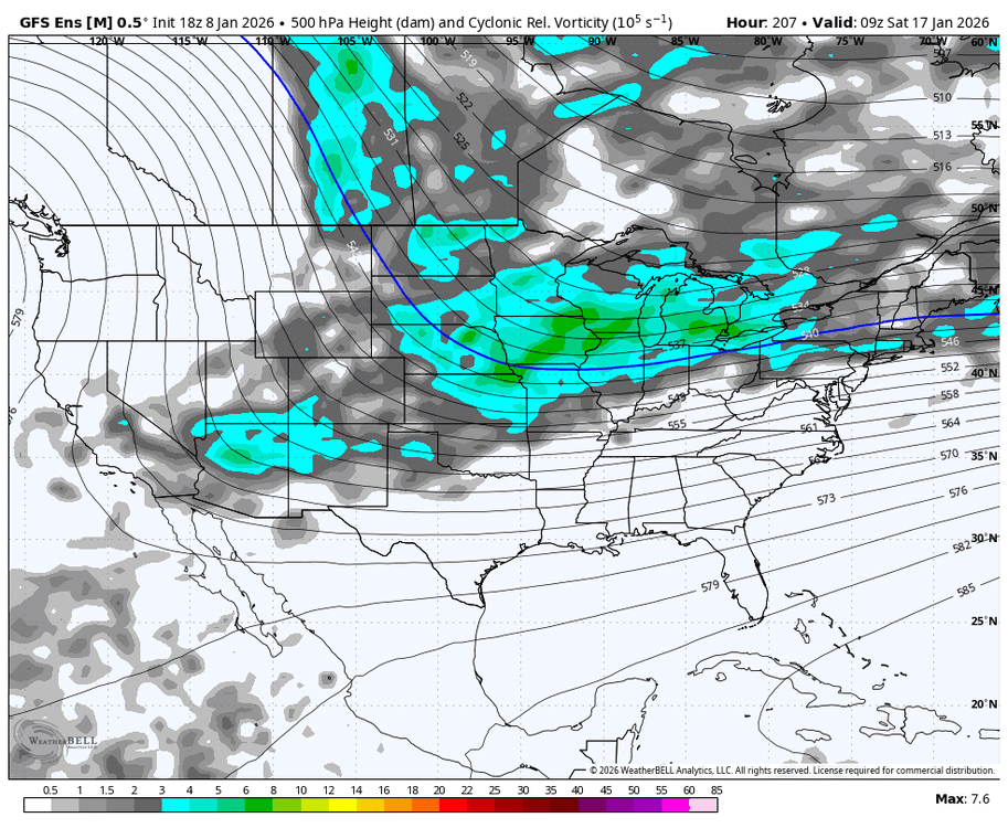
GFS ensemble does not agree with the OP on the shortwave getting cutoff out west for the 2nd storm. Best snow means yet for that one.
-
Downslope city on the first one. Ultimately the most likely outcome in my neck of the woods with the energy diving so straight north/south instead of swinging around. Not a bad look for some though. And we just can’t have that energy getting stuck out west of the Rockies for the 2nd one.
-
With the first storm might have to pull for more ULL driven snow as opposed to getting the coastal to develop the way it did on the GFS. Maybe it’s right, but as @olafminesawpointed out the GFS seems to get a little overzealous with this sometimes. From here in NGA that euro run was pretty good for storm 2 but I think we’d all just want it to be a little less amped like last night. If the trough digs that hard there the ridging out front is going to respond and make thermals more iffy without stronger CAD.
-
Back to back hits for a lot on this board. That run is an all timer for sure. Now if only the Euro will do that.
-
The southern stream shortwave is trending stronger and stronger with the first one. 18z euro really started to pickup in that at the end of its run yesterday.
-
FWIW, the GFS ensemble is trending towards the Euro in regards to swinging that energy through more consolidated even if the OP is not.
-
Frustratingly close but a laundry list of things needed to trend in the right direction for the 15th. Between the flow in the North Atlantic being too progressive and the trailing waves following too close to give the trough room to go negative earlier, feels like we’re fighting it from both sides to get a phase. Don’t know if there’s much of a middle ground solution here either, at least for those of us further west.


