

STILL N OF PIKE
-
Posts
14,848 -
Joined
-
Last visited
Content Type
Profiles
Blogs
Forums
American Weather
Media Demo
Store
Gallery
Everything posted by STILL N OF PIKE
-
Wife is making him go shopping in Boston ...another man down
-
It’s creating its own cold
-
I’m trying to understand if the general set up favors an initial heavy thump (before the deep easterly Flow cooks the BL for most SE of MHT to ORH or wether there isn’t really that thump aspect where many can score a quick several inches , or otherwise I Think we depend on significant chances at 5H to get that secondary to keep winds Favorable for BL temps
-
It’s like the nam knew how you prefer Em?
-
Got snow tires and my pass . I’m ready to rock . had a blast Last Sunday at Sunapee
-
ahhh , too easy choo choo
-
I mean , I’m joking around .. that’s what I love about this forum . Snow would be great !
-
Nobody was seeing problems , but the ACATT Want to remind you we are monitoring your comments for Potential non confirming infractions
-
So current LR looks good And if the Rockies trough moves west Or East ...what’s that do
-
At this point for late Sunday I wound anticipate flakes in the air at times and maybe a dusting To an inch East of ORH, 1-2 out toward river w a lolli to 3 by the Berks
-
A tad faster with precip but at hr 90 seems weaker then other guidance / less saturation/ forcing?
-
Euro looks decent early
-
Gfs looked loaded to keep delivering on that run
-
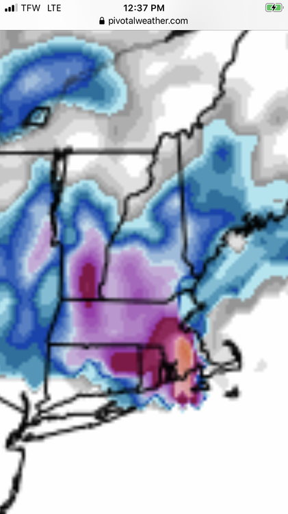
Bob that snow map from the day before Xmas eve system is comical . It absolutely torches Essex county mass and into at least Haverhill and Andover And drops 1.5-2 feet in SE mass just inland from coastal Plymouth county Ray, we know it won’t happen but you gotta laugh at this one https://www.pivotalweather.com/model.php?p=sn10_024h&rh=2022120812&fh=372
-
La la la lock it So many here have set the bar so low for Xmas that mid 40’s and sunny would seem wintery.
-
I’ve seen The 16’th as an up and in storm if it breaks the right way and last day or so modeling has . It can improve , but I’m thinking I can have a nice soul sucking rain in KASH after Hopefully a thump
-
It’s track ESE so your longitude helps
-
Ray’s blood pressure is rising
-
Tell the wife , that although it breaks your heart , you are gonna stay home Saturday (and miss her family Gathering ) and prep/ protect the home for a blizzard Sunday pm , then just run out to the GTG
-
100% , why would they even be open in SE mass or C.C and ya I lived there as a kid so it can happen on SWFE , otherwise you learn to be used to being tortured by Seeing The R/S line set up in Brockton to Easton /Norton
-
45 in KBED , beautiful fall like day today get outside if you can
-
We know The angle blows
-
She’s almost gone
-
Swing and a miss by 0z canadian Nada for even SW CT
-
Parts of the west must be On track for Extremely cold December departures


