

eduggs
-
Posts
5,950 -
Joined
-
Last visited
Content Type
Profiles
Blogs
Forums
American Weather
Media Demo
Store
Gallery
Everything posted by eduggs
-
Love how it's still snowing!
-
The low at 700mb passed north of Lake Ontario. The surface reflection was in NEPA or WNY. There definitely was a dry slot visible on radar/satellite yesterday evening associated with this shortwave in WNY that pushed through the southern tier of NY. As the "primary" weakened and began to redevelop further south, this dry slot began to fill as well. Clearly the best dynamics were north and east of the NJ-NY border. The NAM showed this very well yesterday morning. All other guidance missed how far north (into NY) the surface low would track and how long the mid-level lows would stay defined. That led to the meat of the precipitation arcing from Long ISland, through CT, to ENY. South of that, the combination of spotty precipitation and a warm tongue near 700mb significantly decreased snow totals. Great job by the NAM IMO.
-
Radar returns have moved east of Morris County, but it's still snowing steadily. Looks a bit like an inverted trof. I suspect it's low level stuff below the radar beam. Let's keep it going a few more hours!
-
Driving around near Morristown... I don't think there's 2" of snow/sleet on the ground.
-
The NAM and ECM were pretty spotty with 0.2 - 0.4" by 2z. They didn't have it completely right but they had the general idea of heaviest precip well north and east.
-
We tried to warn people. But people believe what they want to believe.
-
The event is not over. And bust is harsh because snow forecasts are always difficult. That said, I'm not sure what people were looking at. NAM and ECM signaled the northeast shift with the mid-level lows north of Lake Ontario and surface low into WNY. Then the HRRR continuing to trend right to go time made it clear. It should have been pretty obvious unless you were willfully deluding yourself.
-
Monster dry slot in WNY. It looks even more prominent than the NAM/HRRR were depicting at 18z. That will probably clip us later tonight and hopefully fill in somewhat.
-
Western Putnam: Sleet and snow grains. Vis 1 mi. 2.5" on the ground. Initial burst of snow lasted about 1.5 hours.
-
NAM has been showing solid snow accumulations in northern Westchester. South of the NJ-NY border it has a big cutoff.
-
Get out and enjoy it if you can. It's glorious outside.
-
Western Putnam: Heavy snow. Vis < 1/4 mile. 1/2" in 20 minutes and 1" in 30 minutes. Can't keep up with measurements.
-
It's a great looking radar for Albany. I would be pretty excited being up there right now (and they're not typically a snowy location). Should be heavy snow for several hours with great ratios. Major event incoming for them.
-
Doesn't seem funny to me. Neither does the matching radar.
-
That's a good surge of moisture into WPA and WNY. I expect some really heavy snow this afternoon into the Catskills and ENY. On radar it definitely looks like the brunt of it is setting up to our north. Should get a good burst though this evening.
-
Think BOS beats NYC for snowfall?
-
15z HRRR continues to show the best snows north of NJ-NY border and it keeps gradually pushing the low/mid-level lows further northeast before redeveloping south. More and more mix and dry slot into the BGM area... I really hope it's wrong... but that's why we have the hourly guidance.
-
It has, a lot. But you might not have noticed it when focusing on Westchester Co.
-
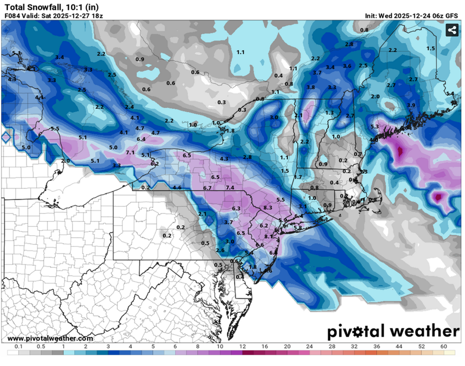
84 hour GFS forecast for reference
-
People like the rip the NAM. But it looks like the GFS was wrong about keeping heavy snow out of ENY (ALB) and most of SNE. It's been shifting steadily for two days. The GFS was also too snowy in EPA (PHL) and SNJ. The NAM looks to have been much faster to pick up on these trends.
-
UK held or slight improvement. The trend towards shifting the lows northeast and delaying their decay/shunt south is leading to a more north-south oriented snow accumulation distribution as it pushes moisture into the damned cold air. There will likely be a snowfall max now in ENY with excellent ratios. But if we can hold off mixing, our QPF might get a boost leading to a 2nd max further south near NYC or the HV but with lower (still decent) ratios.
-
The 9z RAP also shifted heavy snow into C/ENY and SVT (like the HRRR/NAM) and brought mixing into the southern tier of NY. A surface low in WNY is not ideal. We still do great locally, but I don't like seeing more snow in ALB than BGM.
-
The 8z HRRR directs the best snow into the Catskills and ENY through the end of its run. There is still locally a few-hour burst of mod-heavy snow and probably a little more to come beyond its 18 hour range, but the northeast shift continues. That's pushing a bit of a dryslot into SNY and PA. I don't like seeing the HRRR seemingly shift towards the NAM. Can't wait to see that trend reverse. Most other guidance looks solid however.
-
ICON looks slightly better than 0z. GFS and RRFS look very similar to their previous runs. All solid for most of the area! Gotta watch the radar, obs, and HRRR today to see if the northeast shift is real or not.
-
The 6z HRRR and esp NAM should concern snow lovers from NYC south and west. The surface and mid-level low centers continue to tick further northeast. That's getting heavy snow into SVT now, and even BOS on the NAM. That's a yellow caution flag at minimum. On the other hand, the 6z RGEM held steady or even ticked a hair south and wetter locally.


