ma blizzard
-
Posts
3,059 -
Joined
-
Last visited
Content Type
Profiles
Blogs
Forums
American Weather
Media Demo
Store
Gallery
Everything posted by ma blizzard
-
Wake Me Up When September Ends..Obs/Diso
ma blizzard replied to 40/70 Benchmark's topic in New England
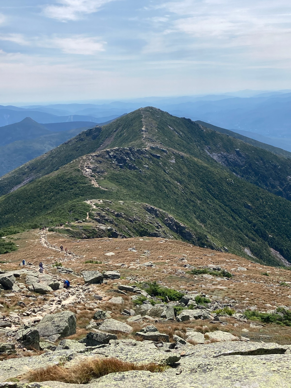
great day for a hike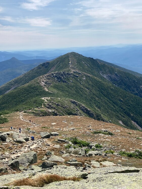
-
how does the pacific side look?
-
We hope she goes .. gonna mess up the potential heat next week
-
You are right though - a legit hurricane hit from that angle would be unprecedented historically
-
Henri 2021?
-
Looking toasty on the GFS starting Sunday .. verbatim, I can't recall seeing such a large area under 22-25+ c 850 temps in September
-
can't argue with this .. maybe even some lowers dews for the tomatoes as they finish ..
-
1.5" today 6.94" MTD 20.81" since July 1st
-
only got down to 51 last night, had trouble radiating til past 1 was expecting 40s
-
1.99” so far today
-
what it lookin like?
-
Typical super over amped NAM run right before go time .. 3km solution seems a lot more believable than the 12km
-
I’ve never seen this many rabbits either
-
the d8-d10 cool shot is legit .. drops dews into the 30s/40s!
-
Good summary We need actual metrics to define "Dews" and "Chamber of Commerce" weather I propose: Dews: Over 65 "COC": Under 55
-
with dews too .. also 7.5 c / km mid lvl lapse rates which is how we know it will never verify - sorry wiz
-
12z GFS gone wild with the heat again .. starting D9 so usual caveats apply
-
Amazing So much for dews
-
Gotta love clown range GFS
-
1.38" from round 1
-
I'd watch the cell by Webster just east of 395
-
We've been tryna tell 'em
-
I’m still thinking the hottest stretch of the summer relative to climo is yet to come .. Aug 15 - Sept 10 Primarily WAR driven, but potentially a piece of the western heat gets delivered here “over the top” very end of Aug / early Sept
-