southbuffalowx
-
Posts
206 -
Joined
-
Last visited
Content Type
Profiles
Blogs
Forums
American Weather
Media Demo
Store
Gallery
Everything posted by southbuffalowx
-
Two Mdt to high impact events NYC subforum; wknd Jan 6-7 Incl OBS, and mid week Jan 9-10 (incl OBS). Total water equiv by 00z/11 general 2", possibly 6" includes snow-ice mainly interior. RVR flood potential increases Jan 10 and beyond. Damaging wind.
southbuffalowx replied to wdrag's topic in New York City Metro
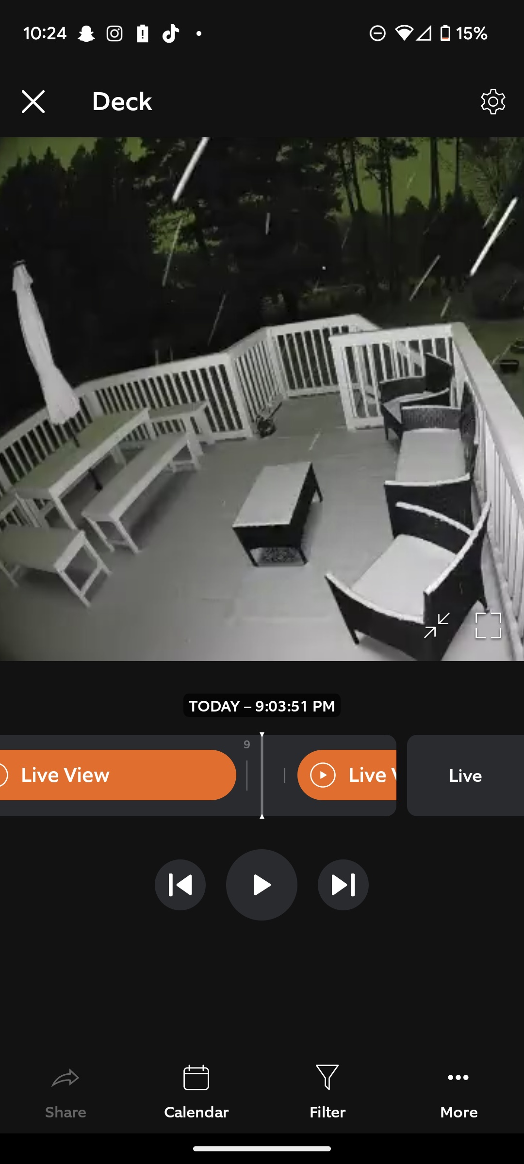
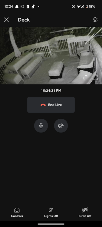
It's accumulating really well for the temperature. I didn't think it was snowing that hard until I saw my deck. Wish I had thought to put a measuring stick on my deck. Guess I'll have to do a final total in the morning. -
Two Mdt to high impact events NYC subforum; wknd Jan 6-7 Incl OBS, and mid week Jan 9-10 (incl OBS). Total water equiv by 00z/11 general 2", possibly 6" includes snow-ice mainly interior. RVR flood potential increases Jan 10 and beyond. Damaging wind.
southbuffalowx replied to wdrag's topic in New York City Metro
Ripping in Poughkeepsie and the heavy band hasn't even reached yet. Eyeballing ~7" on my back deck. There was maybe an inch at 9PM..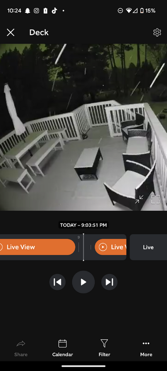
- 3,610 replies
-
- 2
-

-
- snow
- heavy rain
- (and 5 more)
-
I'm getting married this Saturday Hopefully we can salvage a Saturday this time around!
-
Historic Lake Effect Event?! 11/17-11/21
southbuffalowx replied to BuffaloWeather's topic in Upstate New York/Pennsylvania
It doesn't make sense to measure the final compacted total and call that the snow total. That wouldn't be representative of the effort put into clearing and maintaining roads, parking lots, driveways etc, if 7 feet fell but compacted into to 4 feet. Thus you need some measurement standard to better represent what actually fell, and that is measuring every 6 hours. -
I'm in Poughkeepsie, so I have my eyes on it. I'm worried about any potential tree damage from the heavy wet snow. Would trees in bloom be more prone to damage than bare trees, similar to a snowstorm in October with leaves still on the trees?
-
Pinging here in Poughkeepsie, not too much freezing rain accretion thankfully
-
They upped the ice accretion totals for the MHV up to 0.5": * WHAT...Mixed precipitation expected. Total snow accumulations of a trace to 3 inches and ice accumulations of one tenth to one half of an inch I had no idea they had the latitude to issue a WWA when forecasting up to that much ice. I though the cutoff was 0.25". Given the upgrades that have occurred through the Ohio valley, it seems likely this gets upgraded to ISW once the event begins.
-
Models have been printing out 0.75-1.25" of ZR liquid across the Ohio valley where ice storm warnings are in place for 0.5"-0.75" of accretion. Using that as a guide to estimate accretion across the mid Hudson valley, it seems like we're on track for a pretty high impact event.
-
Upstate/Eastern New York-Into Winter!
southbuffalowx replied to BuffaloWeather's topic in Upstate New York/Pennsylvania
Not including today's temperatures, since they aren't finalized yet, KBUF would need to average 35.8 or warmer for the remainder of December for 2021 to break 2012's record for warmest year. You taking the over or under on that? -
Sounds like we work at the same place! No way I'll be making the drive either
-
For what it's worth, I recall the rgem being spot on for the forecast in Binghamton during the December storm. But it was consistent with that jackpot for 12-24 hours prior. It also did the best job forecasting Buffalo's post Christmas LES storm. It has a pretty good track record.