eyewall
-
Posts
13,328 -
Joined
-
Last visited
Content Type
Profiles
Blogs
Forums
American Weather
Media Demo
Store
Gallery
Everything posted by eyewall
-
what did you end up with?
-
I would agree. Another warm winter incoming.
-
The La Nina blast furnace rolls on.
-
Should I just go ahead and start the Countdown to Winter 2025-2026 thread now?
-
No it sure didn't
-
Another La Nina gives RDU a real shot at the snowfall futility record of zeroing out 3 years in a row.
-
A tale of extremes for sure! The fire danger is definitely growing. The official RDU rain total for the month is 0.01"
-
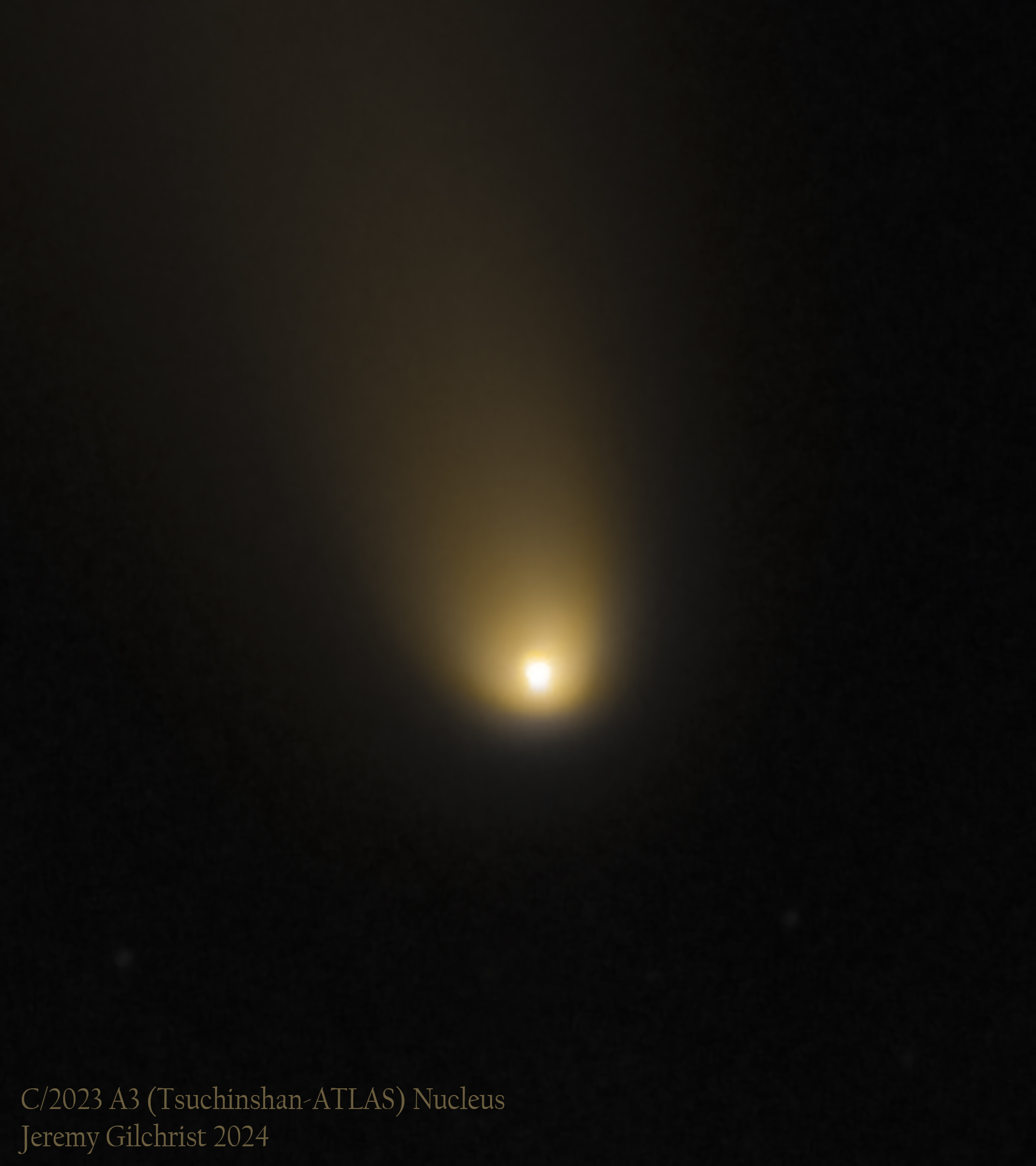
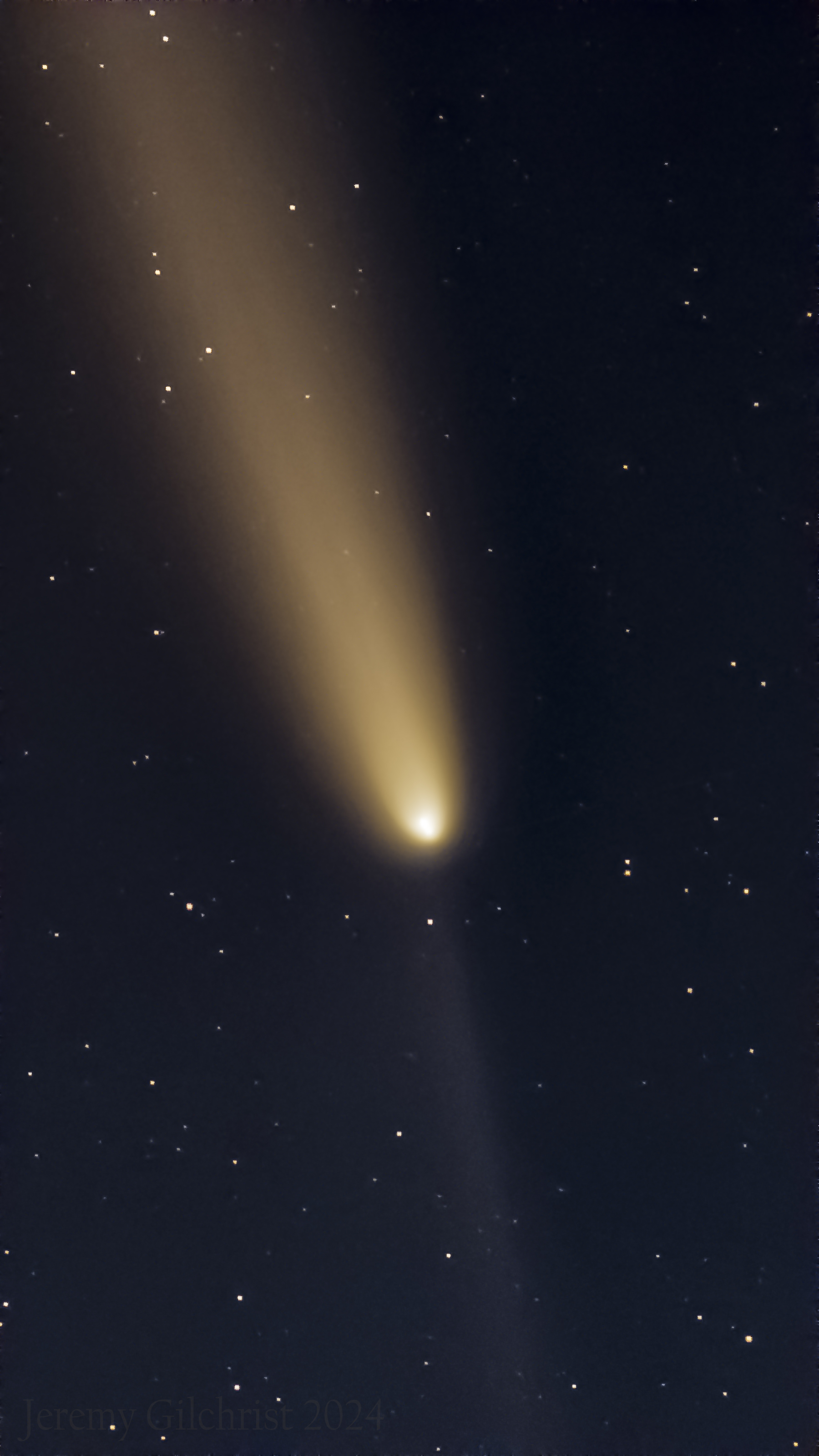
The glowing nucleus up close in the first image and the tail with anti-tail in the second. Taken on 10/17 with the Seestar telescope.


-
This stretch of low humidity weather has been enjoyable for sure but it is getting dry again.
-
First frost on the rooftops here in Raleigh this morning.
-
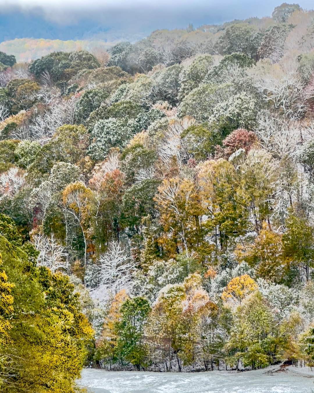
Exactly what I was thinking. It was the southern version of that. As it stands I didn't get a chance to look at how the foliage season turned out up there this year. Always nice to see the early snow as a reminder that yes winter will return.
-
The snowliage made it to western NC below the highest elevations which were entirely defoliated by Helene on the eastern slopes (not my pic) Here is a video of the devastation to the trees along the Blue Ridge https://x.com/matt_vanswol/status/1845913514814140427?t=S_LTOrgCENnWGTEl-27sEA&s=09

-
Time to revive this thread now that the mountains had their first snow. As for those east of there in NC I think we zero out for a third consecutive year with the return of a dreaded La Nina.
-
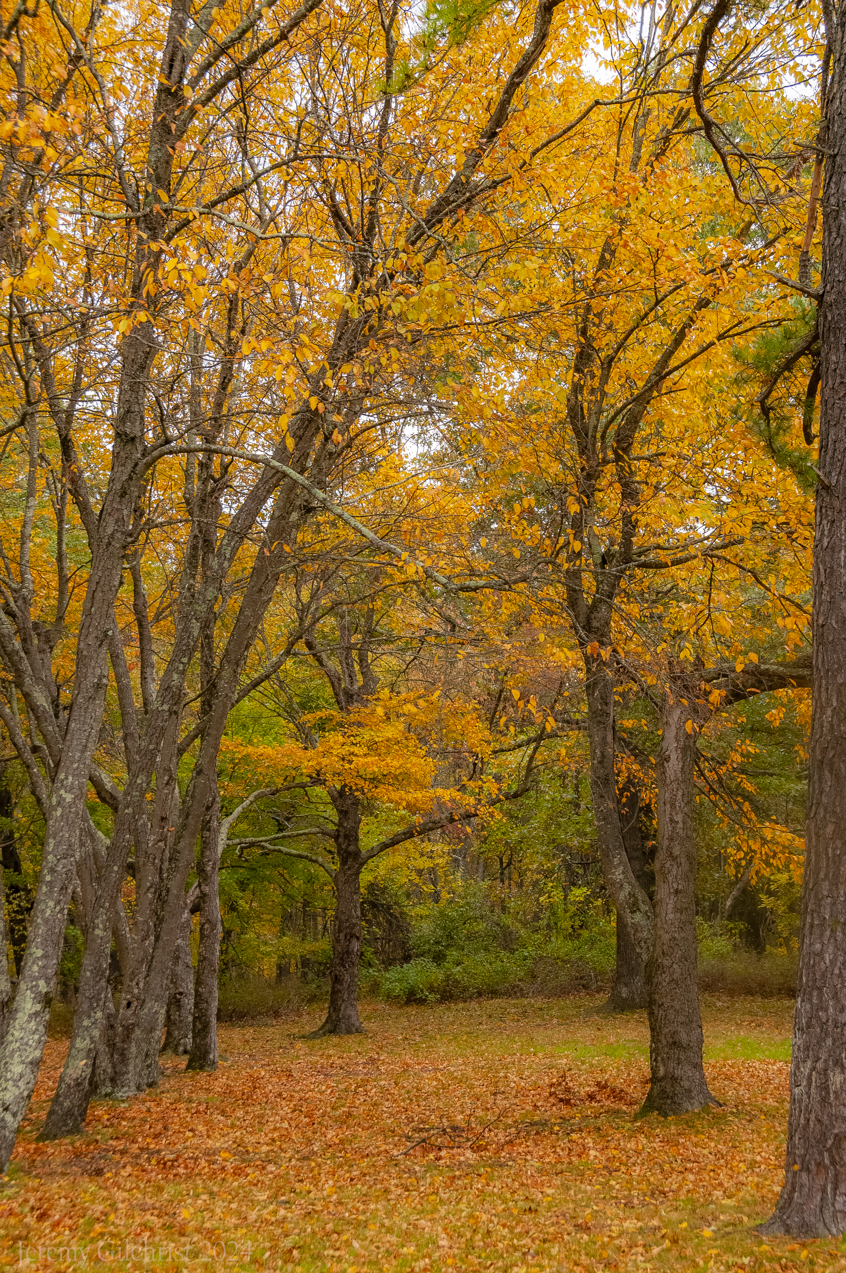
There were plenty of dull and/or still green areas but there were pockets of solid color along Skyline drive in some areas (10/15). I am assuming this is a bit late for sure. We decided to head up with western NC being essentially off limits.

- 33 replies
-
- 21
-

-

-
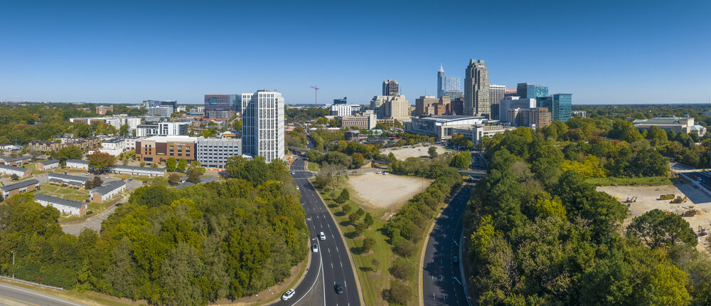
Very cool and you can say that again! I got this view from Raleigh:
-
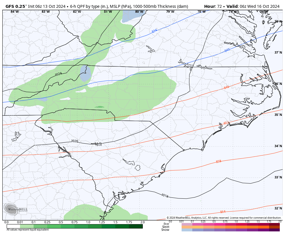
GFS hinting at some flakes in the mountains around 10/16:

-
Don't forget the comet at sunset.
-
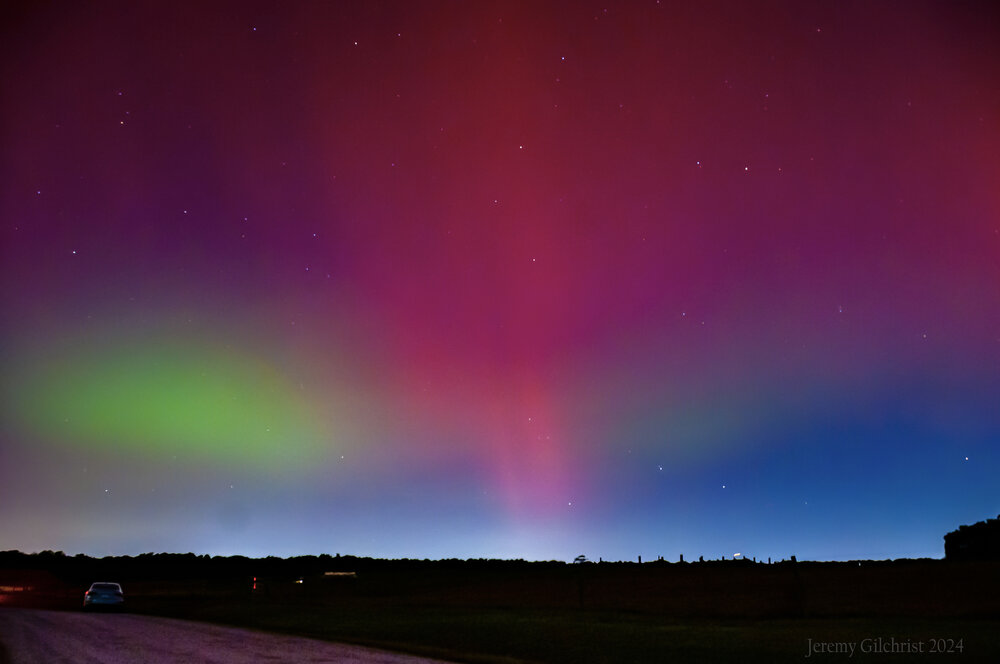
Given we have had a couple of significant and rare aurora events this year and solar max will persist into 2025 a bit, I am creating this thread for spaceweather events here as well. Other interesting celestial phenomena can be posted here too. These were my final edits from the 10/10/24 event:
-
It did down here during the May 10th event (G5 storming). I think it has to be intense enough to really start doing that. There were also dancing pillars that night as well.
-
My best aerial shot from last night in Raleigh, NC:
-
This was my best aerial from last night at Falls Lake in Raleigh, NC:
-
I am going through my final edits now and will post more as they are completed but this is one of my aerials at Falls Lake in North Raleigh:
-
This solar max is by no means done
-
From Reykjavik, North Carolina (Raleigh) Not as intense as May 10th but still very visible to the naked eye including the color (especially the reds). This is incredibly rare to have two aurora events this far south in one year.
-
Raleigh, NC during the second substorm: