-
Posts
24,204 -
Joined
-
Last visited
Content Type
Profiles
Blogs
Forums
American Weather
Media Demo
Store
Gallery
Everything posted by Eskimo Joe
-

It's time to grade Winter 2025-26(now that it's actually over)
Eskimo Joe replied to CAPE's topic in Mid Atlantic
Agreed. We missed the last storm, which prevented many from exceeding climo snowfall. But we had several decent cold waves and the first warning level snowfall for many in several years. -

Central PA Spring 2026 Discussion/Obs Thread
Eskimo Joe replied to Voyager's topic in Upstate New York/Pennsylvania
1.) If you're referring to the WGAL radar, it went offline due to a variety of issues. 2.) If you're referring to the Climavision radar at Millersville University, it's not available to the general public. Millersville University and the National Weather Service have access to it. Press release: https://climavision.com/news/new-radar-at-millersville-university-to-help-bridge-data-gap-in-central-pennsylvania/ -

Central PA Spring 2026 Discussion/Obs Thread
Eskimo Joe replied to Voyager's topic in Upstate New York/Pennsylvania
-
CC: @Stormchaserchuck1 and @Kay
-

E PA/NJ/DE Spring 2026 Obs/Discussion
Eskimo Joe replied to PhiEaglesfan712's topic in Philadelphia Region
CC: @Rainshadow, @CAPE and @MGorse -
Proximity to the bay.
-
47 degrees in Westminster, almost 70 in Potomac. Impressive.
-
Hancock mesonet site topped out at 90°.
-

2026 Mid-Atlantic Severe Storm General Discussion
Eskimo Joe replied to Kmlwx's topic in Mid Atlantic
Blue Box coming for Garrett, Allegany, and Washington counties.- 309 replies
-
- severe
- thunderstorms
-
(and 7 more)
Tagged with:
-
89° at Hancock mesonet site
-

2026 Mid-Atlantic Severe Storm General Discussion
Eskimo Joe replied to Kmlwx's topic in Mid Atlantic
Sunday could have a few decent storms riding a remnant EML in northwest flow. These setups can produce.- 309 replies
-
- 1
-

-
- severe
- thunderstorms
-
(and 7 more)
Tagged with:
-
Temps surging. Almost 70 degrees west of I-95.
-
That heat dome is incredible. 596dm ridge in mid March.
-
Yes thats a distinct possibility.
-
This is why hand analysis is so vital, especially for potentially significant set ups.
-
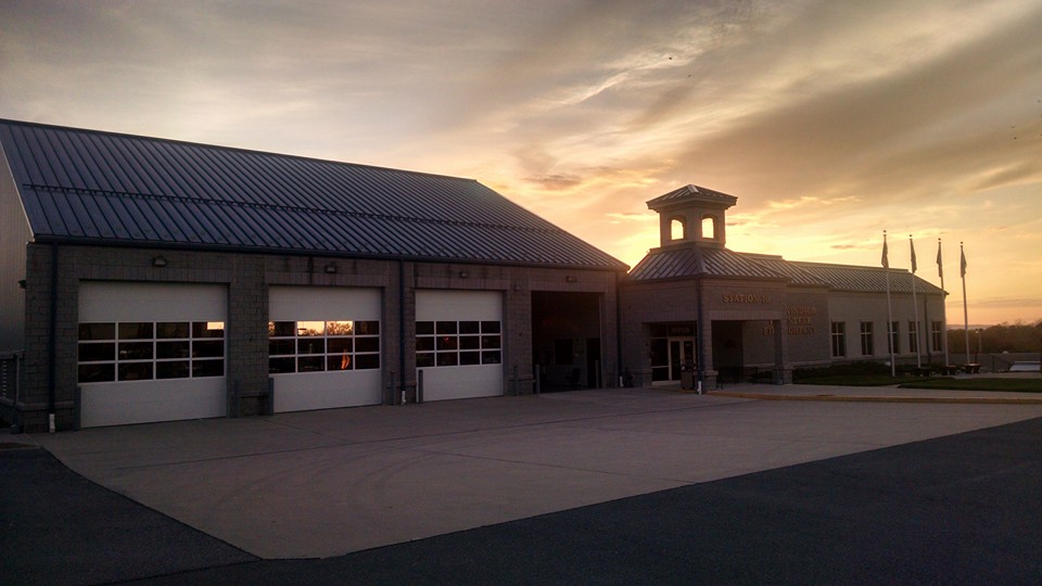
This circulation passed just west of the fire department I volunteer at. Video of this tornado was captured at the EOC. A lot of leg work went into this survey.
- 1,093 replies
-
- 2
-

-
- severe
- thunderstorms
-
(and 1 more)
Tagged with:
-
IMO, that was under forecast by SPC along Dixie Alley. It's similar to how they under forecast the 2012 derecho.
- 1,093 replies
-
- severe
- thunderstorms
-
(and 1 more)
Tagged with:
-
Hello fellow Philly Dilly. Grew up in Roxborough in the 90s.
- 1,093 replies
-
- severe
- thunderstorms
-
(and 1 more)
Tagged with:
-
Unpopular opinion: SPC was correct with the initial forecast. They should have trimmed the tornado risk back but not the wind. We were an hour of partly sunny skies away from having that second line get enough juice to wreck a lot of stuff. I worked this event. We rarely get calls in western portions of Montgomery County where it's very rural. Our 911 calls were coming in just minutes after that line was racing through, which is an indication to us that bad things are inbound. We got lucky it trended south towards the Potomac River over a largely unpopulated section of the county. There are some terrible takes on social media from terminally online weather folks that a Day 2 Mod risk didn't turn into the next April 27, 2011.
- 1,093 replies
-
- 4
-

-
- severe
- thunderstorms
-
(and 1 more)
Tagged with:
-
Incredible. I helped install this station too! You can see it from US 50 by the fire department.
- 1,093 replies
-
- 2
-

-
- severe
- thunderstorms
-
(and 1 more)
Tagged with:


