Metasequoia
-
Posts
785 -
Joined
-
Last visited
Content Type
Profiles
Blogs
Forums
American Weather
Media Demo
Store
Gallery
Everything posted by Metasequoia
-
Want the CMC to be a bit flatter...
-
Models have been consistently showing a storm around this time-frame for several days now. Still six or so days away though.
-
A storm during the time-frame has been consistently showing up in models for days. Fairly good model to model and run to run consistency for a long-term threat.
-
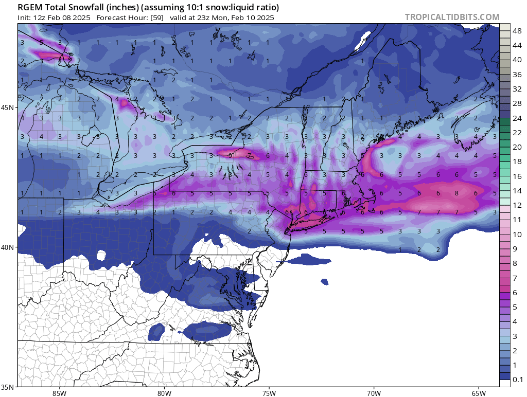
Looks like parts of NYC might see a break in the snow for a bit. Although the snow looks to be developing in central and eastern PA, which will fill in soon after.
-
Looks like the RGEM and HRRR did well. What others over performed?
-
Just started sleeting near the Battery.
-
If Cranky... er Content Weatherguy says cut the snow forecast due to sleet, it's a real possibility. He's decent at forecasting winterstorms. I prefer snow, but sleet works.
-
What about that 2017 thunder sleet storm (maybe February 9th)? The metro must have had at least a few inches of sleet.
-
Not who, but what. It's a Troll bot...
-
Cant see Jersey City's lights from across the Hudson. That's pretty heavy snow.
-
I heard one clap 10 minutes ago in BPC.
-
And managing emotions for the snow lover of the two.
-
Well... maybe the average of all the weather models of days past will be the right answer.
-
I don't think Forky trolls. Some sass might get dispensed from time to time, though.
-
I want to thank all the meteorologists, pro forcasters, climatologists, and skilled amateurs that frequent this forum. They add a lot of value by teaching and guiding enthusiasts like myself. This forum would be a shell of itself without them.
-
The hurricane will likely take a curved path between the waypoint in the middle of Florida and the one in the GOM (not pictured), so perhaps the path is still through Sarasota or north of, which isn't much changed from the last advisory.
-
Great website for satellite imagery... https://weather.cod.edu/satrad/?parms=meso-meso1-13-200-1-10-2&checked=map&colorbar=undefined
-
There were reported wind gusts in Houston that are much higher than what the map depicts. Both Houston airports recorded 80 plus MPH gusts. Maybe the map is in Knots.
-
Refresher snow & obs between ~midnight and Noon Sat Feb 17 2024
Metasequoia replied to wdrag's topic in New York City Metro
-
Refresher snow & obs between ~midnight and Noon Sat Feb 17 2024
Metasequoia replied to wdrag's topic in New York City Metro
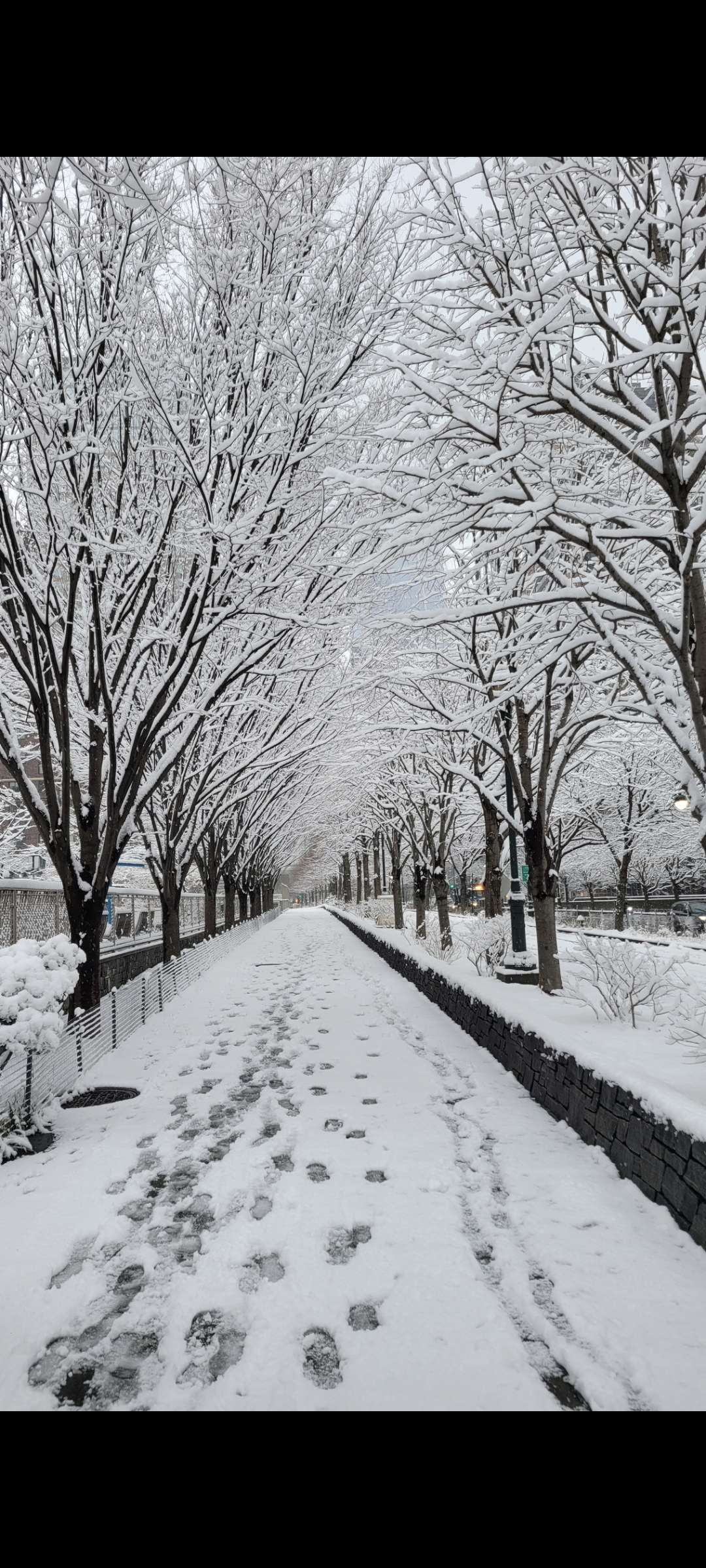
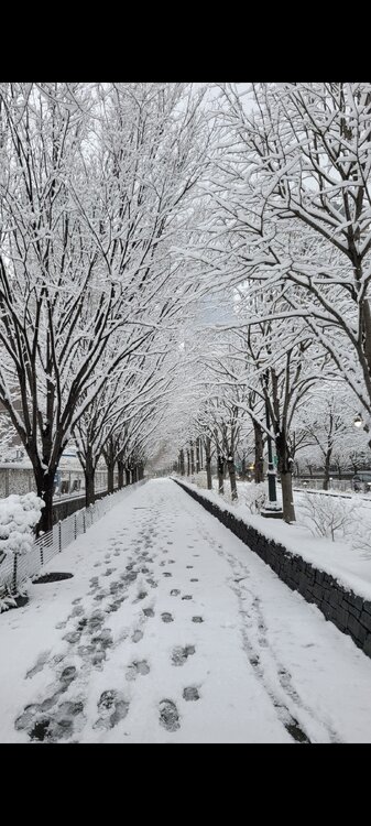
About 4 inches in Battery Park City. Best snow of the season. Finally a snow with temps below freezing.