qg_omega
-
Posts
3,819 -
Joined
-
Last visited
Content Type
Profiles
Blogs
Forums
American Weather
Media Demo
Store
Gallery
Everything posted by qg_omega
-
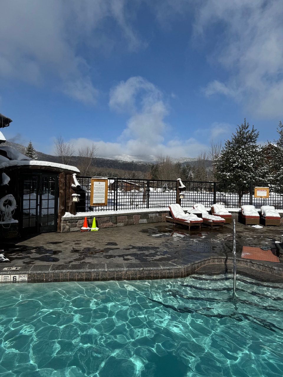
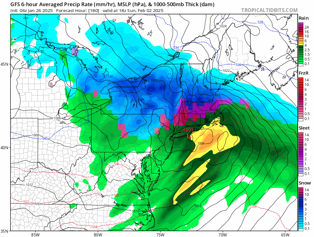
Solid coating so far, expecting 2 inches
-
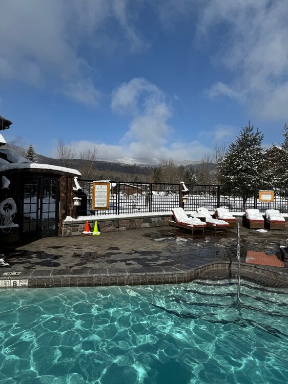
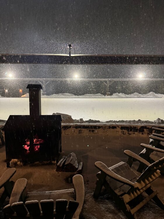
Legend stuff honestly, had to drive 300 miles north to experience winter past weekend, depressing coming back here but is what it is
-
Anything happening next 10 days outside of rain?
-
Is it going to snow tonight?
-
Zero at 6pm
-
Coldest of the season tonight
-
-
-
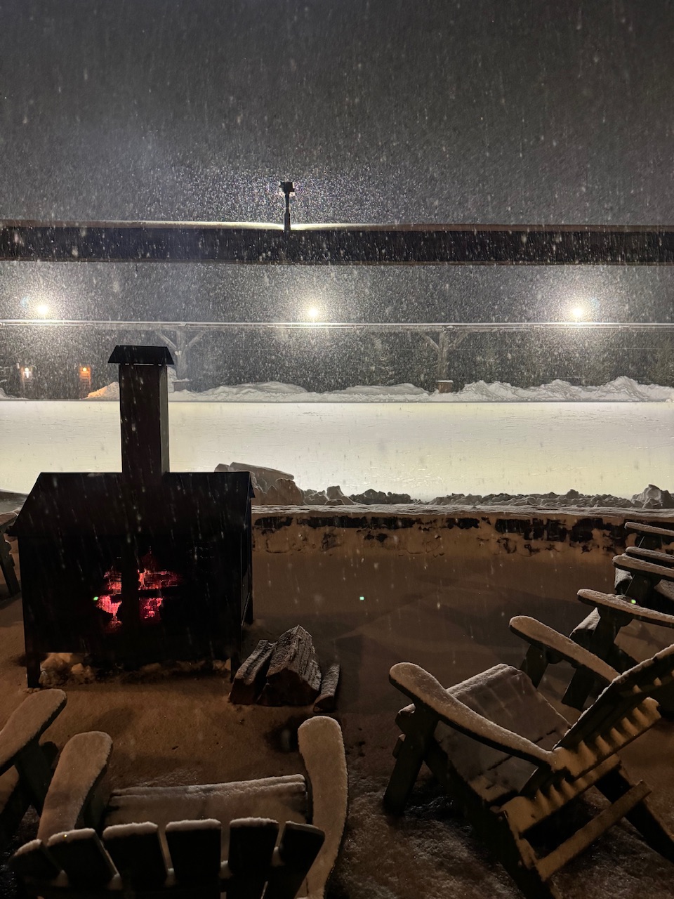
4 to 5 inches
-
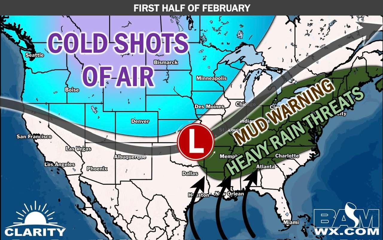
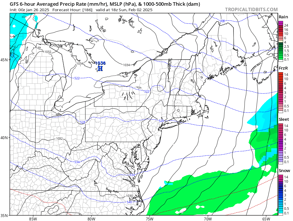
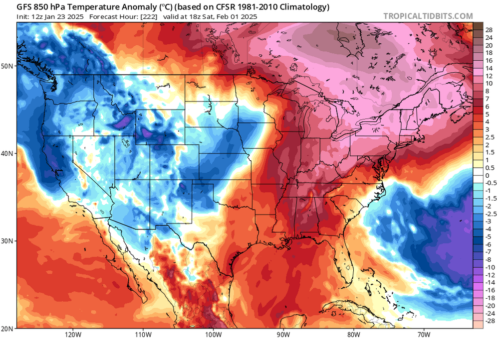
It’s very clear most of February is warm and wet, should be no surprises. We had a month of normal temps and did nothing with them
-
I can see a 70 degree day in NYC
-
Your friends are all in

-
We BAM

-
Pattern looks absolutely awful going forward, it’s a worse version of January since the moisture brings more warmth now followed by cold and dry rinse and repeat. Dreadful
-
Looks like above normal and still dry to start February
-
We rubber band
-
Thought you said it can’t be worse than last year snow wise?
-
It’s literally a degree of normal, what are we doing
-
That’s normal for NNE, need to stop with this. We get lows in the negative 20 range ever year. Montana just had -40, this isn’t anything close to record breaking.
-
It’s trying!
-
Doesn’t reach our criteria
-
For the economy, snow would also be nice for the sleds but that’s likely asking too much of winter these days