Jump to content

Random Chaos

Members
  • Posts

    751
  • Joined

  • Last visited

Everything posted by Random Chaos

  1. This looks ugly from HRRR (via https://rapidrefresh.noaa.gov/hrrr/HRRR/Welcome.cgi?dsKey=hrrr_ncep_jet )
  2. Most likely the cruise line will divert and/or go around the storm. The storm is moving at only 8mph which gives a cruise ship plenty of room to maneuver. But still a bit of a head scratcher.
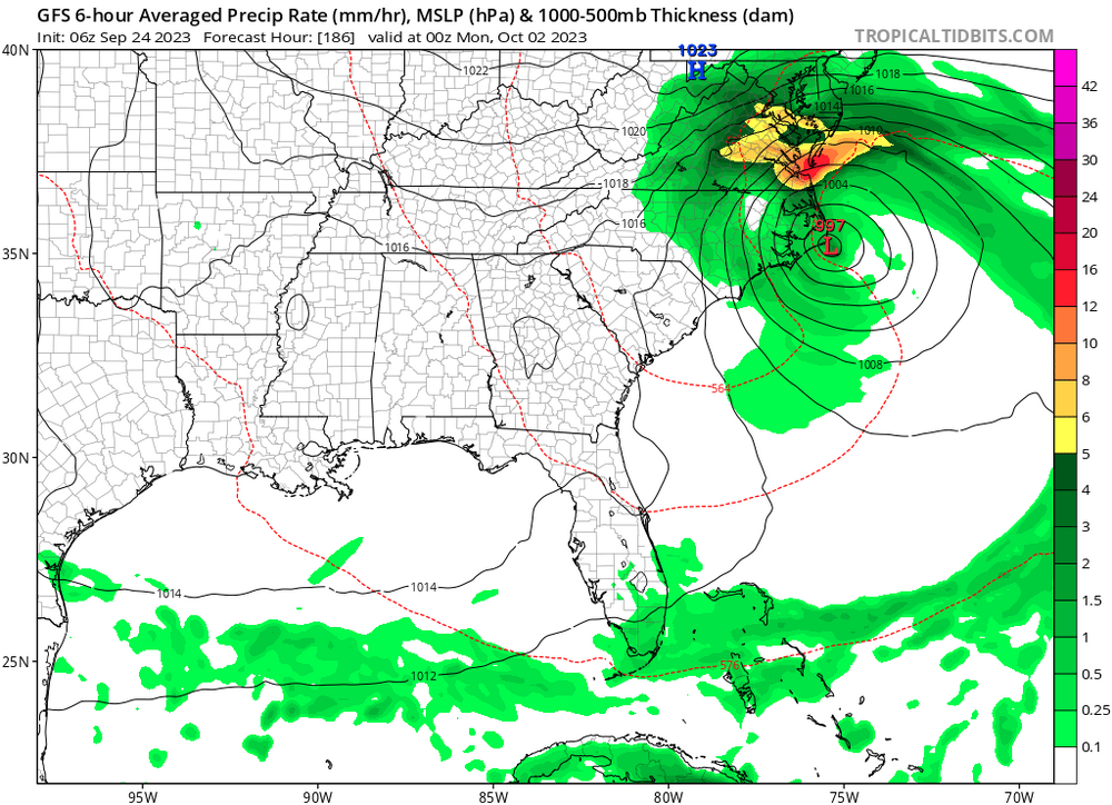
  3. One thing that could be preventing an ERC is what appears to be a light consistent easterly shear, which is most evident by the continually reduced convection on the western side. If you think about the properties that make an annular hurricane (and I am by no means saying that Dorian is annular), these are typically light persistent shear, cooler water than what should typically support the system (though not always required), and a lack of banding. This results in a lack of ERCs. With the exception of the cooler water, Dorian has the other properties, and isn't undergoing an ERC (nor does recon indicate any secondary wind maxima developing).
  4. I just took some surface readings of the Chesapeake Bay with my IR temperature gun - not the most accurate, but gives a good idea: 26-27F. Ground is still a bit mushy (not frozen) but the grass is getting very cold too - sub-25F everywhere I checked. Even though the air temperature is still reading 36.4F. I don't know how well calibrated the temperature gun is, but I've used it before and it seemed pretty accurate in warmer weather.
  5. My temps right now: Outside Temperature 36.4°F Wind Chill 29.7°F Heat Index 36.4°F Dewpoint 18.1°F
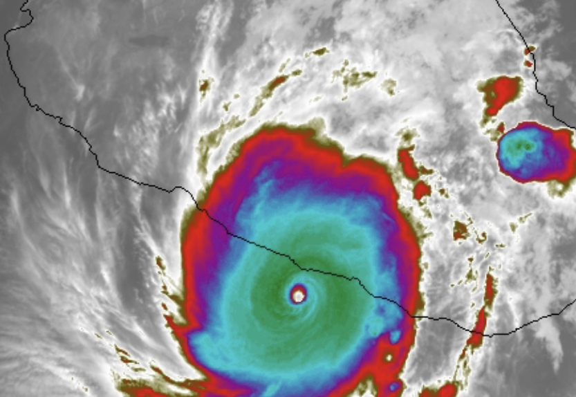
  6. Several hours after the changeover from ZR to rain, and a heavy line comes through, the sounding still looks very cold, and only a fraction of a degree drop at the surface and this will still be ZR. 6z NAM at 9pm from near Odenton:
  7. Around 18 hours before event. HRRRX is up to 36 hours, but...uh... it's at https://ruc.noaa.gov/hrrr/ which is....shutdown... (unless someone knows somewhere else that currently has it?)
  8. FV3 at 6z looks good too. R/S line slightly north, but at this range 3 runs in a row on a January 1st storm is nice to see! Still fantasy-land, but nice to see!
  9. I did like the look of the upper levels and temps after the 15th better on the weeklies - but maybe we can squeak one out first
  10. Since you brought this up...I'd been hesitating on posting it because we're in the realm of fantasy at 2 weeks out...but....here is the FV3. In two weeks we'll all look back at this post and say "if only that could have been":
  11. 18z GFS looks an awful lot like the 6z GFS.
  12. And the Correlation Coefficient in the bottom left view (the streak of correlation coefficient on the right edge of the blue circle is a radar artifact - it's not moving - but the one right under the couplet is legit):
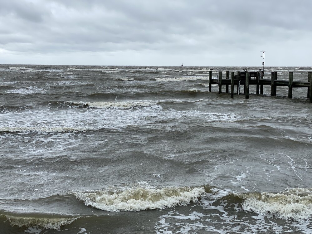
  13. Is landfall anypart of the eye or the center of the eye? The edge of the eye is now onshore.
  14. Impressive eyewall onshore, but the eye is still offshore. The last 35 minutes of my radar loop the storm looks to have moved maybe one mile.
  15. This has to be the best the hurricane has looked since entering radar; though satellite still isn't that great. Eye finally looks closed off, and vigorous convection spiraling out from it. Edit: Here's a video of radar - specifically not embedding due to size: http://www.vorklift.com/weather/9-2018/9-13-18_10-52pm.gif
  16. When an eyewall is open, the wind field expands and while pressure may stay low the gradient is lessened (and thus the wind field expands while the wind at the eyewall drops). During today's ERC there was a long periods of an open eyewall, and this is one reason why we are seeing the wind field lower than expected for the storm. The result is going to be TS and hurricane force winds at a larger radius, but a less intense eyewall. The eyewall may recover these winds if the central pressure keeps falling, but it's really a wait-and-see state. Looking at WV loop, it does look like there is some dry air it is ingesting to the SW. This seems to be what is contributing to the ragged appearance:
  17. GFS just pulled the same south hook that the 12z ECMWF did. Um....
  18. Since the other thread has a ton of NAM watchers right now... just to prove that NAM is not the worst model out there for hurricanes.... there is always CRAS. And wow is it bad! It already has the storm falling apart into an open wave in something like 24 hours, and the track is equally bad And now back to our regularly scheduled programming of waiting for the next useful hurricane model
  19. None of the nearby gauges are near flood stage (AHPS website) - I think it is HoCo concerned about what might be coming, not what has already fallen - the radar estimates put the heavy rain totals just east of Ellicot City, not west which causes city flooding. (note - on a tablet - hard to type)
  20. Last time that happened the bay north of the bay bridge was covered solid with floating trees. It was a mess for weeks.
  21. Howard County government on twitter - https://mobile.twitter.com/HoCoGov If you are in the Main Street area of Ellicott City please move to higher ground. Please avoid Ellicott City’s Main Street. We are taking precautions as waters rise. We are closely monitoring the rainfall and rising water levels.
  22. I've had 0.87" today so far. No bust here! That brings me to a three day total of 4.94".
  23. Got 3.26" total between 8am and 1am. Seems I was east of the heavy bands for most of the storm. Just west (3-5 miles) of me had digital estimates as high as 7", but only 3" where I was.
×
×
  • Create New...