

cheese007
-
Posts
1,637 -
Joined
-
Last visited
Content Type
Profiles
Blogs
Forums
American Weather
Media Demo
Store
Gallery
Everything posted by cheese007
-
Got some tornado warnings already on the AR/MS border this morning. Watch posted most of southeast AR, north MS, and far southwest TN until 1 PM with 60/30 probs. Long day ahead!
-
Severe Weather Threat 3-16-21 through 3-18-21
cheese007 replied to cheese007's topic in Central/Western States
Severe QLCS moving into the DFW area. Storms out ahead of the main line intensifying as well -
2500 J/kg CAPE. Incredible EDIT: roughly 11.4 million people in the sig tor hatched area on top of that. Could be one hell of a day for the southeast
-
Whelp redemption ark completed I guess lol
-
100% on this. I remember the Dallas tornado of 2019 quite vividly. We were in a slight contour, 5% tor risk, non-sign (albeit just barely outside the higher risk zones) and still had an EF3 plow through the northern suburbs just a few miles south of where I live. Its a reminder that, while this day could underperform (and that's a fairly reasonable bet given all that needs to go "right"), it could very well overperform as well!
-
If I'm right it'll be a hell of a redemption ark given my utter failure with last month's snowstorm
-
Severe Weather Threat 3-16-21 through 3-18-21
cheese007 replied to cheese007's topic in Central/Western States
D1 enhanced added up in northwest OK extending into parts of KS and TX -
D1 enhanced added up in northwest OK extending into parts of KS and TX
-
Severe Weather Threat 3-16-21 through 3-18-21
cheese007 replied to cheese007's topic in Central/Western States
D2 mod risk issued. Looking like a big day tomorrow -
1400 Tornadoes, 2 high risk, first one March 17th
-
Some folks yesterday got hit by one of the satellites of the Happy tornado
-
Severe Weather Threat 3-16-21 through 3-18-21
cheese007 replied to cheese007's topic in Central/Western States
30% contour for D4. Haven't seen that in a bit -
Yeah they're lucky that the circulation seemed weak when it got close to them
-
If y'all wanna see someone utterly fail at driving down a dirt road, Sequoyah's stream is the place to be
-
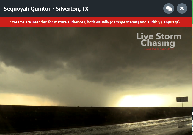
Image description: lowering cloud base backlit by the sun on a stream from Sequoyah Quinton in Silverton TX
-
*beautiful* scene on Sequoyah's stream rn
-
Rain wrapped too. Bad situation all around
-
That Tulia storm looks ready to go
-
Debris sig on the Happy storm
-
Bob Pack has a lowering out by Tulia
-
Tony Laubach seems to have a visual on it
-
Got a wedge on it now seemingly
-
Tornado on Brad's stream! EDIT: Reed seems to have something as well
-
Lowering on Brad Arnold's stream
-
First tor warning southeast of Dalhart

