jbenedet
-
Posts
7,815 -
Joined
-
Last visited
Content Type
Profiles
Blogs
Forums
American Weather
Media Demo
Store
Gallery
Everything posted by jbenedet
-
Gonna downslope to normal high today.
-
Wolfie has a derangement syndrome that every warm post is about CC. Sad to see.
-
Shift that depiction 500 miles southwest
-
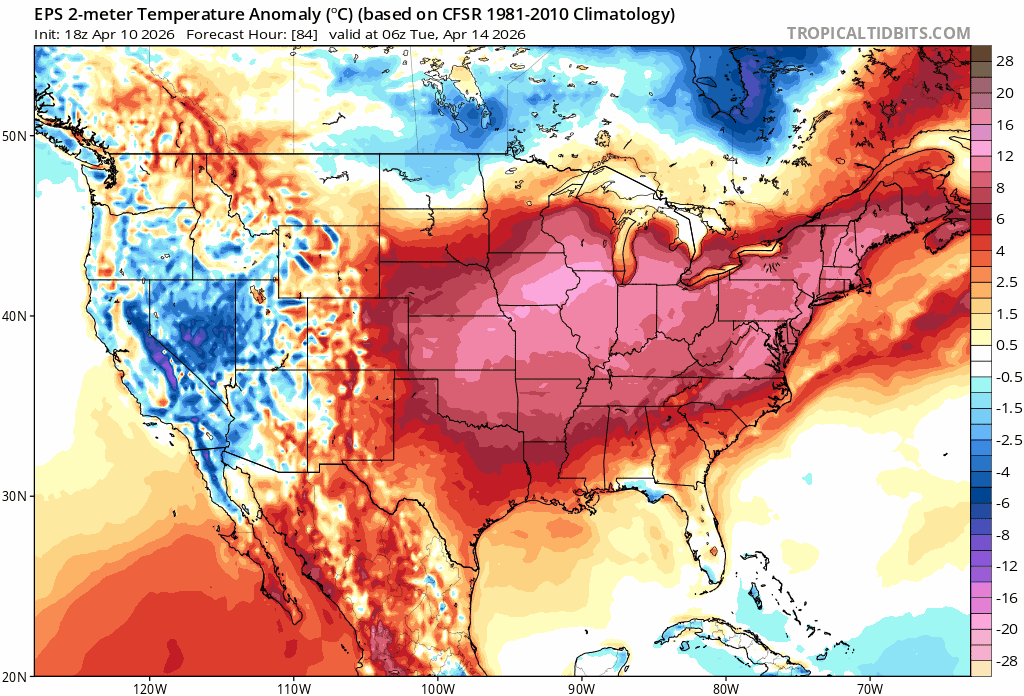
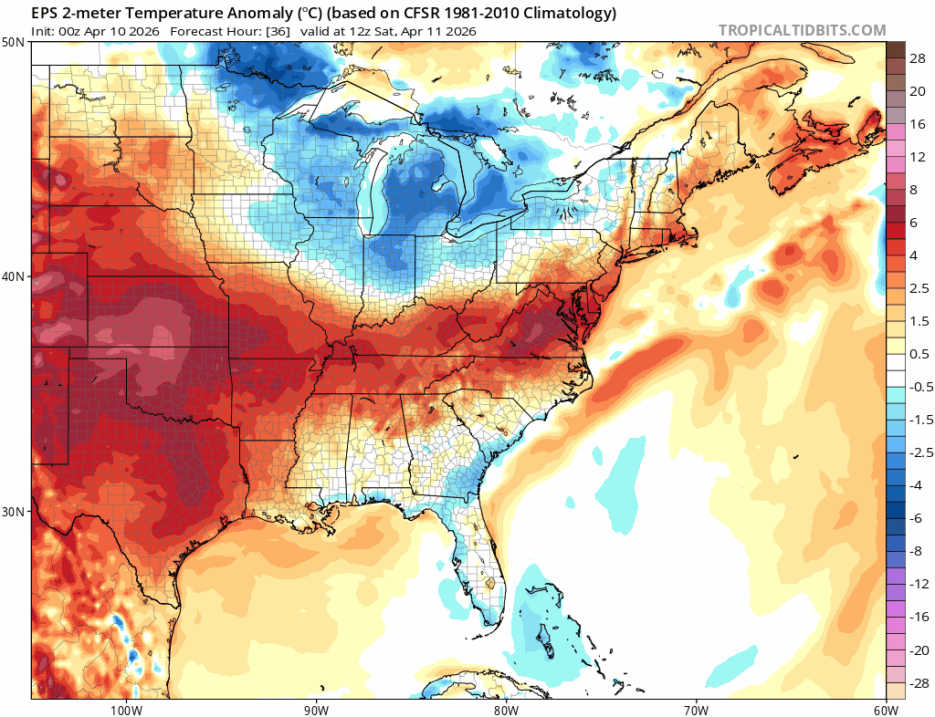
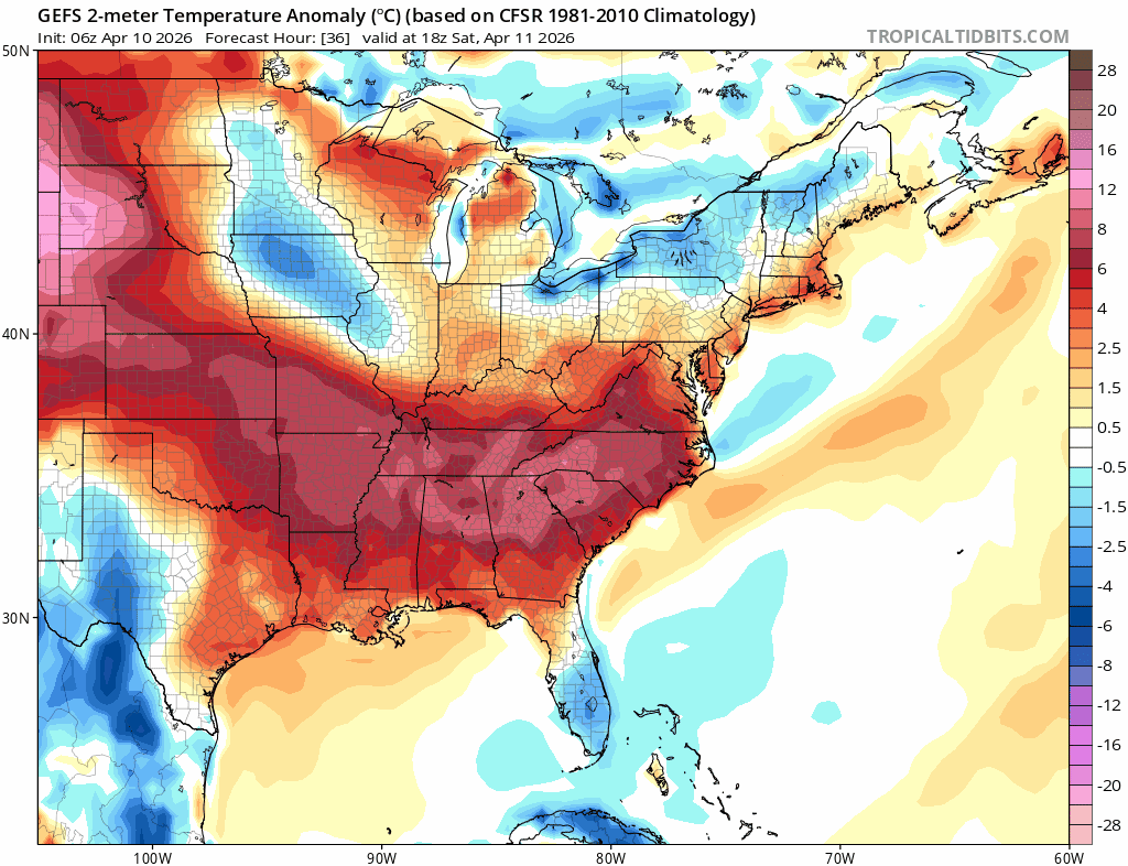
No. MJO 8 and 1 are warm phases in New England in April. The warm anoms in Maine and Southeast Canada will continue to shift south on guidance as it catches on. The cold anoms over the central US SE and Mid Atlantic.
-
Man what a gorgeous stretch coming up. Love this. Windows open with a beautiful breeze tonight. Gonna easily +5 April
-
That will bust with the MJO to phase 8 to 1, with 1 being the warmest for this time of year in New England. You’ll probably see the cold anoms in the mid Atlantic, Long Island to del Marva.
-
We 70 Had an afternoon bite at Dovah’s new rivah front. Noice.
-
For a late evening gone by late morning? Who cares.
-
Very weak signals outside of Maine and the cape.
-
Definitively have not seen a week stretch like this in mid April any time I can recall. Awesome.
-
I dunno Tip. These doors happen with such regularity because without them our spring climo in the seacoast region would be like Philly otherwise….it really is just that. We have a three day BN interlude and then it’s back to solidly AN. March finished +4 If April matches—which looks doable given the persistence and latest ensemble guidance— this early spring will much better than last, or any of recent memory…
-
If you go into an area slightly shield by the occasional ocean breeze and in full sun it’s easy +20 to the thermometer. My backyard is one such spot. Beautiful day if you know where to setup. San Francisco vibes.
-
56/39 partly cloudy
-
Dendy def needs to move. He’ll freeze through early May.
-
It’s a gorgeous morning tbh
-
I’m good. Weather is just as bad and it’s more expensive everything.
-
52/42 Gonna be a fight to stay here through early afternoon.
-
58/49
-
Grass is green already man.
-
55/49. warming up even as we lose the diurnal max a midnight high is a positive on a Friday so we’ll take that win as well. NAM and Euro guidance did well today.
-
53/48
-
There’s definitely a rule of thumb with these for early spring. Need the southwest flow to kick in on/before 12z to have clearing well ahead of sunset. You can probably add an hour for May and then again in June. If it happens after like 15z fawgetaboutit.
-
I’m basically filtered sun now. The low level fog is gone. Just need these t-showers to kick through and we’re good.