
Jim Martin
-
Posts
2,469 -
Joined
-
Last visited
Content Type
Profiles
Blogs
Forums
American Weather
Media Demo
Store
Gallery
Everything posted by Jim Martin
-
View tonight in Rochelle, Illinois via RailStream.
-
Earlier today.
-
-
Here are some of the totals.
-
Lake Effect Snow continues as well tonight in Northeast Ohio. 1-2" hour snowfall. Some spots already at to over 20".
-
Roughly an inch of snow here in downtown Findlay. Picture taken earlier this afternoon here downtown.
-
0z GFS same as the previous runs earlier today.
-
The 0z NAM shifted the snowfall deeper into Ohio, along and east of Interstate 75.
-
NAM trended west on this particular run.
-
I feel you are all calling this event over before it has even started.
-
-

Winter 2020-21 Medium/Long Range Discussion
Jim Martin replied to Hoosier's topic in Lakes/Ohio Valley
This may sound stupid... even with the AO and NAO being sharply negative? -
-
An interesting tidbit from the NWS in Cleveland earlier this evening.
-
Tidbits from Long Term AFD by CLE and IWX... CLE: .LONG TERM /WEDNESDAY THROUGH SATURDAY/... A large upper level ridge over the eastern United states will begin to amplify slightly by the end of the week as a deep digging upper level trough dives into the Central Plains states. Surface high pressure over the Ohio Valley will settle south and build as it moves out to the Atlantic Ocean from the Georgia coast. Warm air advection will take place on the west side of the high pressure into the forecast area for much of the latter half of the week. As the upper level trough begins to dive into the Plains States toward the end of the week, a series of surface low pressure systems will develop over the Oklahoma Panhandle. The first will move northeast through the central Great Lakes Friday night keeping our area in the warm sector. However, looking further out, the second Panhandle Hook appears it will track deeper south and keep the local area on the cold side of the low. Another possible winter storm will need to be watched for Sunday as the week progresses. All of the long range models agree on colder air and development of this low at this time. IWX: Guidance still advertises an active pattern setting up for the weekend with a storm brewing over the central states. The features to watch are a cut-off low off the coast of the Baja and a trough arriving onshore of British Columbia late in the week. These features will dictate how the storm from the Central U.S. evolves. Stay tuned!
-
Winter 2020-21 Medium/Long Range Discussion
Jim Martin replied to Hoosier's topic in Lakes/Ohio Valley
The suspense continues... -
Trebek had done game shows since the 1970s, including High Rollers and Classic Concentration for instance.
-
Low last night in Findlay was 5 above zero. Currently it is 40 in Findlay. Low last night in Lima was 2 above zero. Currently it is 39 in Lima.
-
-
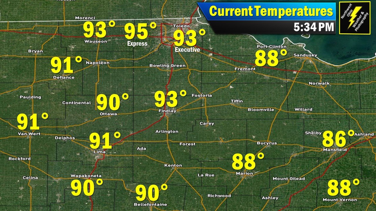
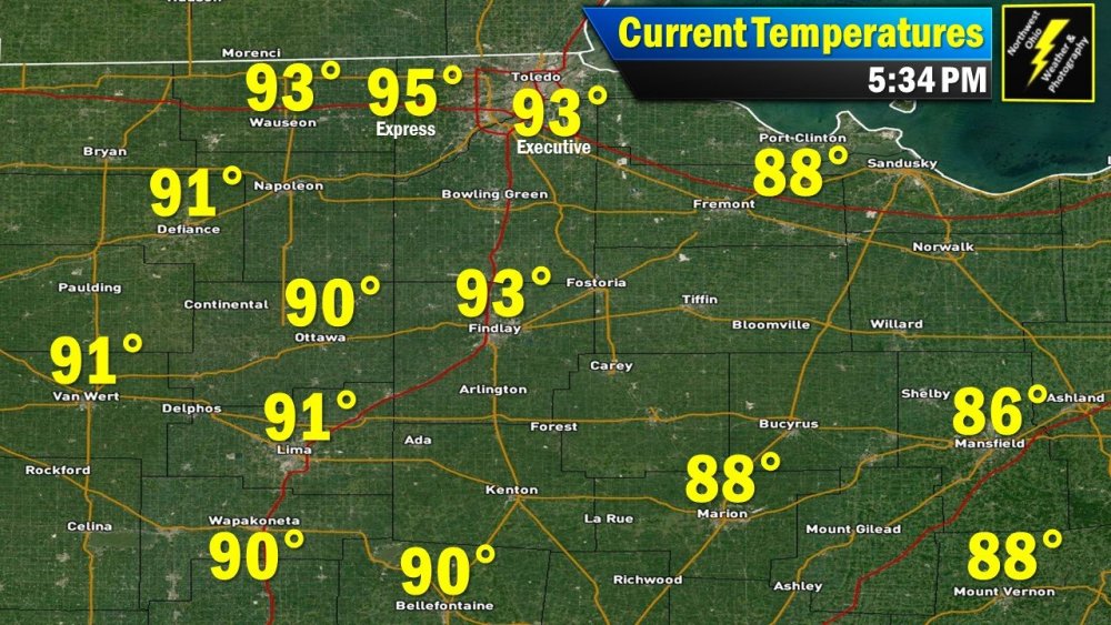
Plenty hot this evening in #NWOhioWx. Toledo in the middle 90s currently.
-
1" of snow here in Findlay as of 445 PM.
-
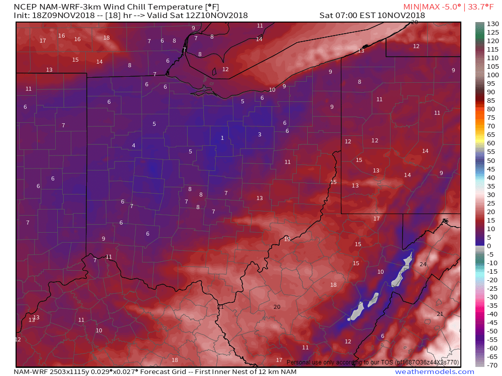
Wind Chill temperatures nearing zero by tomorrow morning across much of northern Ohio.
-
Central/Western Medium-Long Range Discussion
Jim Martin replied to andyhb's topic in Central/Western States
Looking like an active severe weather day possible for Tuesday. The Storm Prediction Center mentioning a fairly good risk for discrete supercells. -
Latest tidbit from SPC on the afternoon Day 2 Outlook... CONCERNING THE SEVERE POTENTIAL, A CORRIDOR OF MODERATE INSTABILITY IS FORECAST TO DEVELOP BY AFTERNOON FROM EASTERN MISSISSIPPI INTO MUCH OF ALABAMA. NAM FORECAST SOUNDINGS AT 21Z IN EASTERN MISSISSIPPI AND NEAR BIRMINGHAM SHOW MLCAPE VALUES REACHING THE 2000 TO 2500 J/KG RANGE. IN ADDITION, THE MID-LEVEL JET WILL CREATE STRONG DEEP-LAYER SHEAR PROFILES ACROSS MOST OF THE REGION. FORECAST SOUNDINGS ACROSS THE SLIGHT RISK AREA BY LATE AFTERNOON SHOW 0-6 KM SHEAR GENERALLY IN THE 60 TO 65 KT RANGE. THIS ENVIRONMENT WILL SUPPORT SEVERE THUNDERSTORM DEVELOPMENT FROM THE MID AFTERNOON THROUGH MUCH OF THE EVENING. THE SHEAR SHOULD BE FAVORABLE FOR SUPERCELL FORMATION ESPECIALLY FROM MIDDLE TENNESSEE SOUTHWARD INTO NORTH-CENTRAL ALABAMA WHERE HAILSTONES OF GREATER THAN 2 INCHES IN DIAMETER, WIND DAMAGE AND A TORNADO THREAT WILL BE POSSIBLE. A STRONG TORNADO MAY OCCUR WITH ANY SUPERCELL THAT CAN BECOME DOMINANT. THE POTENTIAL FOR VERY LARGE HAIL IS ALSO FORECAST SOUTHEASTWARD INTO PARTS OF WESTERN GEORGIA WHERE VIGOROUS CONVECTIVE DEVELOPMENT MAY TAKE PLACE DURING THE EARLY EVENING. THE WIND DAMAGE THREAT MAY INCREASE BY EARLY EVENING ESPECIALLY IF A MESOSCALE CONVECTIVE SYSTEM CAN ORGANIZE.
-
Surprised none of you in here have mentioned the risk for severe weather on Monday...