
Jim Martin
-
Posts
2,469 -
Joined
-
Last visited
About Jim Martin

- Birthday 03/05/1980
-
-
Beneficial rain in the forecast this weekend through Monday.
-
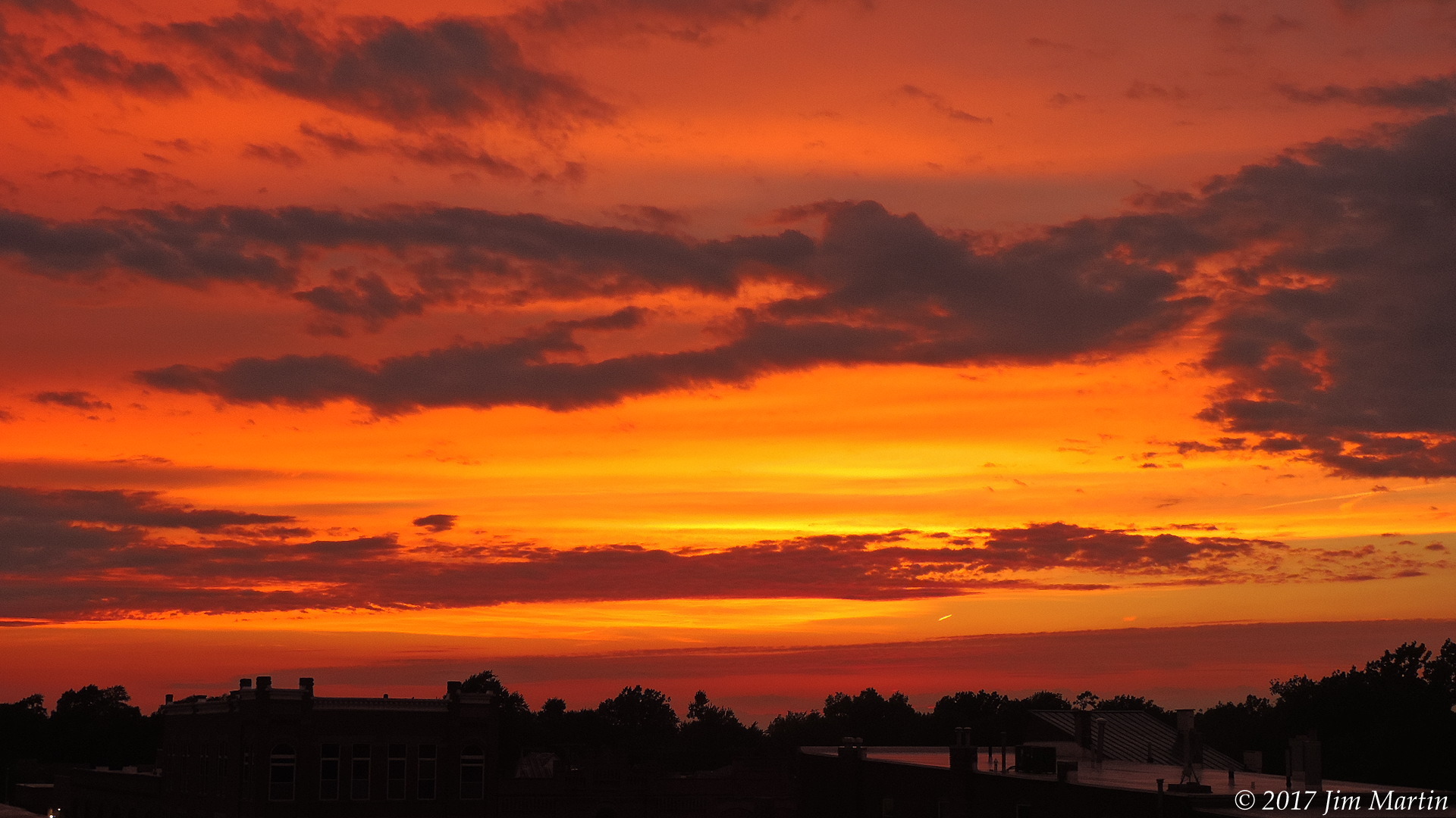
Tonight's sunset.
-
-
Triple digit heat index looking more likely middle of next week also.
-

2022 Short/Medium Range Severe Weather Discussion
Jim Martin replied to Chicago Storm's topic in Lakes/Ohio Valley
Numerous reports of flooding across NW Ohio right now. Seneca County earlier had rainfall rates over five inches per hour. -
2022 Short/Medium Range Severe Weather Discussion
Jim Martin replied to Chicago Storm's topic in Lakes/Ohio Valley
The result of the severe weather in Findlay earlier this evening. 18 inch branch snapped off this tree on N. Main St. Had 60-70 MPH wind along with some hail. And yes, the radar hole showed its ugly head again. The comma head went right over the city on KCLE radar. -
-
-
Rays of sunlight this evening downtown.
-
-
lotchat 2022/03/25 6:41 PM iembot 2 W Sugar Grove [Kane Co, IL] ASOS reports TSTM WND GST of M72 MPH at 4:18 PM CDT -- CORRECTS PREVIOUS NON-TSTM WND GST REPORT FROM 2 W SUGAR GROVE. ASOS STATION KARR SUGAR GROVE - AURORA ARPT.
-
Growing concern about potential for significant icing during the transition period Thursday evening. Also, the forecast models tonight have snow ranging from near zero in Mercer and Auglaize County to over a foot in northern Williams and northern Fulton County here in Northwest Ohio.
-
-
Winter Storm Warnings now in effect for all of Northwest Ohio.
