
Jim Martin
-
Posts
2,469 -
Joined
-
Last visited
Content Type
Profiles
Blogs
Forums
American Weather
Media Demo
Store
Gallery
Everything posted by Jim Martin
-

November 30-December 2 *Potential* Winter Storm
Jim Martin replied to Hoosier's topic in Lakes/Ohio Valley
-
November 30-December 2 *Potential* Winter Storm
Jim Martin replied to Hoosier's topic in Lakes/Ohio Valley
IWX, ILN, and CLE are holding off on any headlines for right now. -
November 30-December 2 *Potential* Winter Storm
Jim Martin replied to Hoosier's topic in Lakes/Ohio Valley
ILN going 2-4" for their far northern CWA. A tad conservative I would think at first thought. -
November 30-December 2 *Potential* Winter Storm
Jim Martin replied to Hoosier's topic in Lakes/Ohio Valley
Just wondering if headlines will be forthcoming in the next 24-36 hours for NW Ohio. By looking at the 12z model guidance, suspect those headlines will come. Just thinking out loud. -
November 30-December 2 *Potential* Winter Storm
Jim Martin replied to Hoosier's topic in Lakes/Ohio Valley
0z GFS looks to be more progressive to the east. -
November 30-December 2 *Potential* Winter Storm
Jim Martin replied to Hoosier's topic in Lakes/Ohio Valley
Seems like the NAM has been more east than the other forecast models. Possibly the NAM is an outlier? -
November 30-December 2 *Potential* Winter Storm
Jim Martin replied to Hoosier's topic in Lakes/Ohio Valley
-
November 30-December 2 *Potential* Winter Storm
Jim Martin replied to Hoosier's topic in Lakes/Ohio Valley
18z Euro has Western OH and eastern IN in bullseye for the heaviest snow. -
November 30-December 2 *Potential* Winter Storm
Jim Martin replied to Hoosier's topic in Lakes/Ohio Valley
GFS Ensemble 18z. -
November 30-December 2 *Potential* Winter Storm
Jim Martin replied to Hoosier's topic in Lakes/Ohio Valley
12z Euro from today. -
November 30-December 2 *Potential* Winter Storm
Jim Martin replied to Hoosier's topic in Lakes/Ohio Valley
12z GFS Ensemble liking western Ohio for quite a bit of snowfall. -
November 30-December 2 *Potential* Winter Storm
Jim Martin replied to Hoosier's topic in Lakes/Ohio Valley
0z GFS has the storm center on the Ohio/Pennsylvania border out by Monday evening. -
November 30-December 2 *Potential* Winter Storm
Jim Martin replied to Hoosier's topic in Lakes/Ohio Valley
-
November 30-December 2 *Potential* Winter Storm
Jim Martin replied to Hoosier's topic in Lakes/Ohio Valley
18z GFS. -
November 30-December 2 *Potential* Winter Storm
Jim Martin replied to Hoosier's topic in Lakes/Ohio Valley
The latest from the National Weather Service in Northern Indiana. -
Winter 2020-21 Medium/Long Range Discussion
Jim Martin replied to Hoosier's topic in Lakes/Ohio Valley
The suspense continues... -
November 2020 General Discussion
Jim Martin replied to SchaumburgStormer's topic in Lakes/Ohio Valley
-
November 2020 General Discussion
Jim Martin replied to SchaumburgStormer's topic in Lakes/Ohio Valley
-
Storms as they approached downtown earlier today. The storms were ferocious to say the least.
-
Powerful line of storms continue. 79 MPH wind gust reported near Lorain, OH. Also, damage reports starting to come in from the Cleveland area. Line moving northeast towards Ashtabula and Erie, PA.
-
Damaging line of severe thunderstorms in progress here in northern Ohio. Numerous reports of power lines down or leaning already coming in. The Storm Prediction Center is considering a severe thunderstorm watch for north central and northeast Ohio. Highest wind gusts so far 72 MPH at Ottawa in Putnam County, 66 MPH wind gust in Lima in Allen County, and 65 MPH wind gust at Deshler in southeast Henry County.
-
November 2020 General Discussion
Jim Martin replied to SchaumburgStormer's topic in Lakes/Ohio Valley
-
Trebek had done game shows since the 1970s, including High Rollers and Classic Concentration for instance.
-
Seconds before the storm hit here downtown. 60 MPH wind and some damage here in town.
-
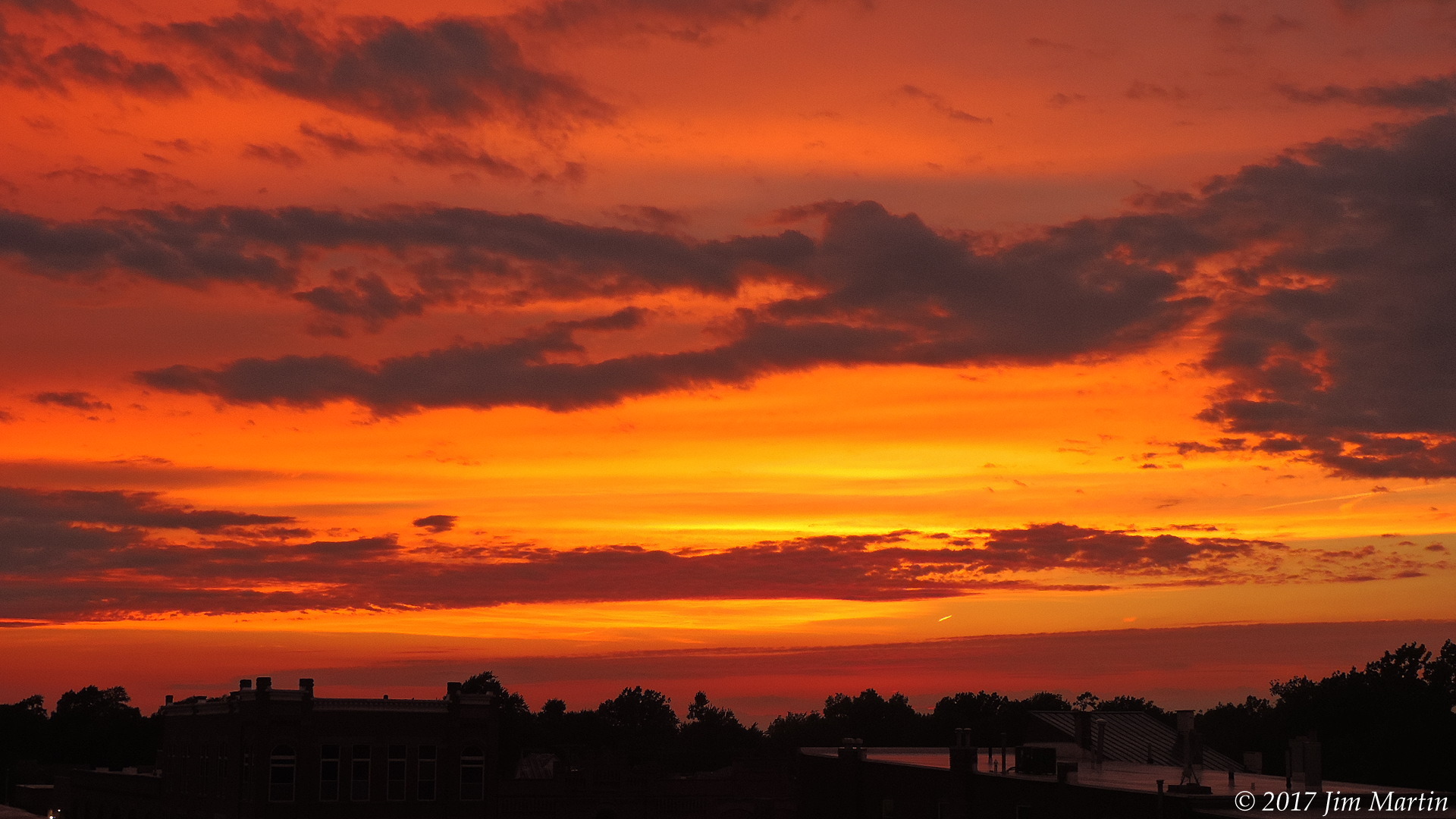
Skies cleared earlier today for this view.


