ZNSTATED
-
Posts
56 -
Joined
-
Last visited
About ZNSTATED

Recent Profile Visitors
1,115 profile views


-

January 28/29 Blizzard Observations/Discussion/Nowcasting
ZNSTATED replied to Northof78's topic in New York City Metro
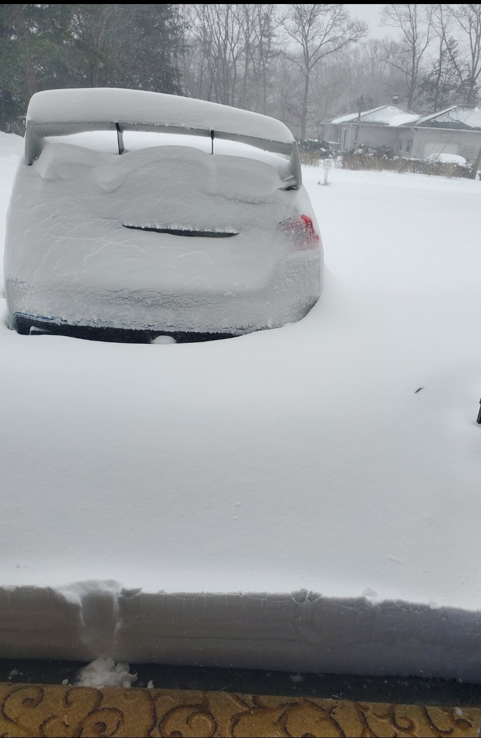
Looking pretty deep in Shirley 14 degrees now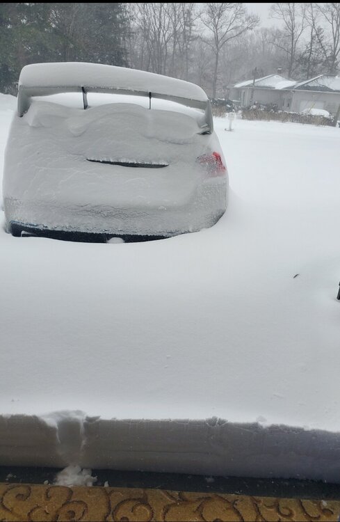
-
January 28/29 Blizzard Observations/Discussion/Nowcasting
ZNSTATED replied to Northof78's topic in New York City Metro
Closing on 2" in Shirley, flakes have definitely gotten larger 29 degrees ATM -
Near the end of that run is that depicting super heavy snow in pink or sleet, I'm assuming snow But that is one mind blowing run wow Right on William Floyd Pkwy in Shirley and no work on Saturday
-
Lol tell me about, 5pm it 23F, now ip to 30F Shirley ~2" light snow
-
Any chance we have thunder snow in the more intense bands?
-
28f & snow in shirley, colder than forecasted Come on cold hold the line I need the day off tomorrow Z
-
Any thoughts on the potential for thunder snow with this storm. Seems like this storm would have the dynamics to create it