CAPE
-
Posts
36,851 -
Joined
-
Last visited
Content Type
Profiles
Blogs
Forums
American Weather
Media Demo
Store
Gallery
Everything posted by CAPE
-
84 here, but humid af. High was 88.
-
Mostly cloudy today with a couple brief showers. Just under a tenth. High of 76. Currently 71 and notably more humid than yesterday.
-
Bone dry here, but I don't really care at this point. Less than 3" for the month, after almost 10 in July. I'll reseed the fried areas and water, and the days are getting shorter. Local farming is fine- irrigation is a major thing here.
-
My dream concert, even though they would never tour together: Killers + Strokes
-
Currently 97/73 in Minneapolis 75/57 here sorry, not sorry
-
Latest CFS runs think we are heading into a Nina.
-
low of 57
-
Drank a Simcoe Fox from Black Flag for 'early' HH. As usual, BF never disappoints. Rn sipping a superior Old fashioned, made by me. Bed very soon.
-
From Mount Holly AFD. Yup, about sums it up. A closed upper low will lift slowly toward the Canadian Maritimes and absorb back into the flow through Sunday all while an expansive, ~600 dam (+2 to 3 standard deviations above normal) upper ridge builds across the central part of the country. At the surface, high pressure will remain in place tonight and begin to shift offshore into Sunday. The result thus far has been a superb Saturday under sunny skies, a dry west to northwest breeze around 10-15 mph, and below normal temperatures peaking near 80 degrees this afternoon. Dew points have held steady in the low 50s, with even some localized 40s, and has almost given the air more of an early fall feel to it rather than summer. For tonight, the west/northwest breeze will diminish to primarily 5 mph or less as the boundary layer decouples, though expect a southwesterly gradient component to be held overnight. Skies will clear and temperatures will fall to the mid 50s to near 60 degrees across much of the area, some 5-8 degrees below normal. If you`ve been looking for a night to give the AC a breather and sleep with the windows open, look no further.
-
77/53 Hard to beat a day like this in late August in this area.
-

2023 Mid-Atlantic Garden, Lawn, and Other Green Stuff Thread
CAPE replied to mattie g's topic in Mid Atlantic
It's time to start the incremental reseeding/overseeding process. More grass has survived than usual, so it won't be a near complete do over. Normally clover takes over as the grass withers away, but it has not done so this year. The key might be getting 10" of rain in July lol. Normal rainfall never made a difference. -
58 at dawn.
-
Well its 6am- still dark lol. Got used to being in the higher latitudes. Winter is coming.
-
After 2 weeks away was thinking of doing a bit of mowing (as nice as it feels out now), but a couple drinks in + weed, eff that. With the mixing/lowering dews, should be prime mowing weather around 6am- about 60 f.
-
75/56 Drier air working in here.
-
^With the once again/as usual/seen this before depleted CB group (at least in the short term), the front end of the D will need to do some good work.
-
Seems like a good signing. Needed a vet and he is much younger than the remaining options like Houston.
-
2022 BCBS for HH. Just a bit different than the HH stouts I was drinking the last couple weeks
-
Had a brief shower overnight, enough to wet the ground.
-
Incredible. Been to Yellowstone. Glacier is at the top of my list.
-
The weekend looks pretty damn nice, esp the early part. We shall see what happens next week, but for now on the GEFS, it looks like a brief spike in heat and humidity Mon/Tues, followed by seasonable temps/relatively comfy dewpoints mid to late week as the C US upper ridge retrogrades westward with lower h5 heights arriving from the N/NE under a building NAO ridge. Appears to be a rather dry period regardless.
-
Man, get me back to the UK. This shit sucks. Doesn't snow so much there(lol and?), but easy to grab a flight from there to Iceland and the Scandinavian countries, etc. I could live there, for lots of reasons, some of which are OT.
-
Back home and back to reality now. Nice break from warm and humid. It appears 2.3" of rain fell here for the first half of August.
-
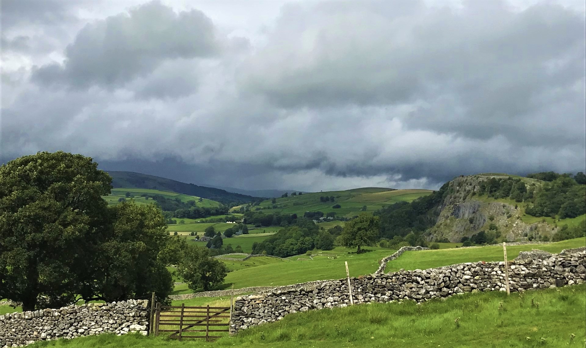
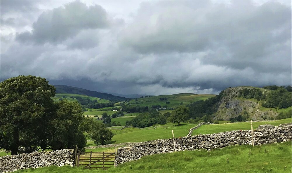
A proper British Sunday roast dinner at noon with a pint of Guinness, and a photo from Yorkshire Dales. I'll post a few more later.
- 225 replies
-
- 14
-