CAPE
-
Posts
36,844 -
Joined
-
Last visited
Content Type
Profiles
Blogs
Forums
American Weather
Media Demo
Store
Gallery
Everything posted by CAPE
-
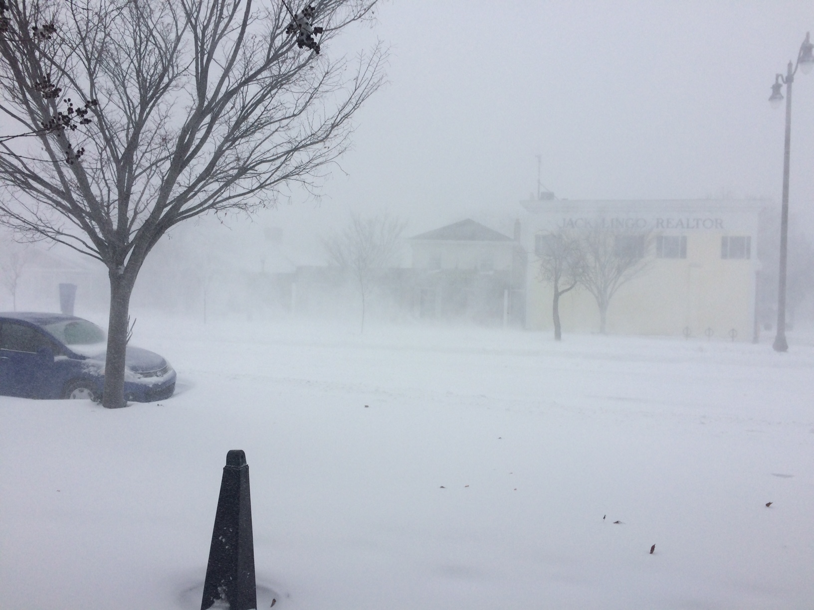
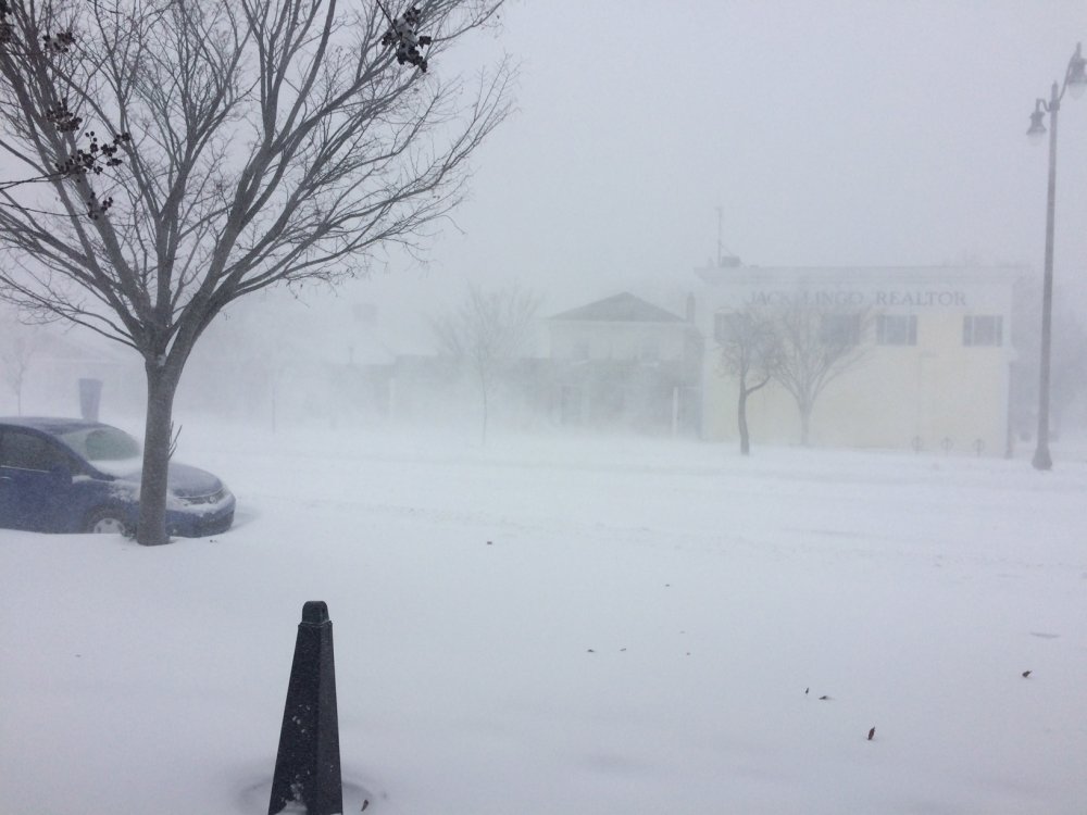
The volkswagon sized flakes have ended and now normal sized big flakes coming down, much closer together. Solid coating on otg. temp at 33 Gotta make the most of this here before I have to leave for the rest of the storm.
-
Stickage in the normally shaded areas. 33.6
-
lol no. I have to teach a course there tomorrow and I think travel would be quite difficult at 6am
-

Southern MD / Lower Eastern Shore weather discussion
CAPE replied to AnEndlessMaze's topic in Mid Atlantic
I'll be heading to Easton in a couple hours. I'll have to monitor things at home on my security cam. -
-
Some of these flakes are legit parachutes. So big they are already sticking on wet ground. Temp down to 34
-
Massive flakes falling now. Haven't seen that in awhile. temp 35
-
Big wet flakes flying now. White rain stage. 35.6
-
Snow mixing in here now. Wind is notably picking up.
-
Looks like 2pm for changeover on the latest HRRR
-
Pretty eta- the sleet is probably overdone. Not seeing that on other guidance.
-
Look at the maps I posted. They are from the 6z Euro.
-
I just posted about it and said you should stay put lol
-
The way things are looking on guidance, he could just stay home and get crushed by Norlun. Wont last as long but it should be very impressive.
-
It isn't really at this point. Norlun is comin'! It should dump snow later.
-
The "Norlun" starts to form here, then reaches maximum intensity as it moves eastward. What I see is lower level convergence of wind fields and aloft there is piece of vorticity that causes divergence. That equals lift. Whatever you want to call it, it produces heavy snow.
-
I got out the next day for the first storm. I have a jeep though. That one wasn't as windy so not as much drifting. There might not be quite as much drifting with this one with the heavy wet nature of the snow.
-
@NorthArlington101 First one is standing right outside the hotel. That was a snow devil. Saw that happening for hours. Second one is obvious lol
-
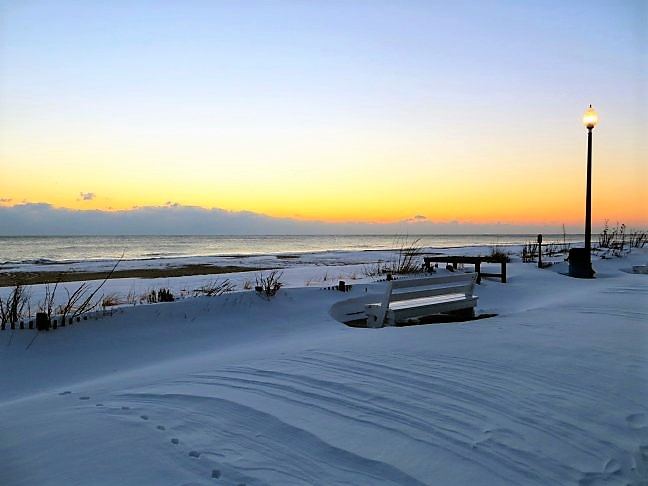
Dude just go to Rehoboth. There will be plenty of snow there, and actually places to go for good food and drinkies. You will get great shots and vids walking down Rehoboth Ave to the beach. And ofc right at the beach. I'm telling ya. Book it and go now.
-
37 and 0.12" of rain so far What's the weenie rule for wet, warm ground? Subtract a couple inches?
-
Raining hard here now, That's a hell of a band on radar. Hope to see that when its snow lol.
-
The latest forecast here looks a bit overdone wrt snow accumulations, 13-20. Given the mostly low ratios for the duration of the storm and that models have shifted the more crippling snow to the the NE, the low end seems pretty reasonable. I would go with 8-12, maybe a bit more depending on banding. That's manageable and I should be able to get home tomorrow evening.
-
38 with some very light rain
-
LOL goddamn DC is Cambridge now lol X freaks
-
The graphics and the actual forecast don't always align. Not sure why you aren't in the orange. Some of the hi-res guidance indicates some sleet there..that being said the text based detailed forecast for there is 9-15".