

CAPE
-
Posts
36,846 -
Joined
-
Last visited
Content Type
Profiles
Blogs
Forums
American Weather
Media Demo
Store
Gallery
Everything posted by CAPE
-
Coby Mayo will make his debut tonight, playing third base.
-
Both the 18z HRRR and 3km NAM suggest a chance of scattered storms between 9pm and midnight for DCA- BWI across to central DE. Otherwise it's on to tomorrow.
-
High of 95 here. Currently 92. I can see the towers looking north associated with the southern edge of that line approaching NE MD.
-
July in the UK is like October here. Not that many damp, gloomy days though- plenty of partly Sunny days with temps in 60s to low 70s.
-
Just got home 20 mins ago. Wow the weeds. Too dark to fully assess plants etc. Anyway, 0.82" here today. When I was looking at the radar from the other side of the Atlantic this morning, it looked like the heaviest rain was just south of my yard. 5.9" for the month, so expect the plants will be fine. Damn what a long day. I woke up at 6am in Manchester UK, and still up at 11:30 eastern time. Got about 30 mins of sleep on the plane.
-
Looks like my yard is getting hit pretty good early this morning. Lost contact with my weather station for some reason so no obs. Long travel day today. Back home tonight. Can't wait to experience the sauna again.
-
Jackson Holliday returning to the Os. Makes sense after the Norby trade.
-
Yes it is possible.
-
Photos from Snowdonia
- 156 replies
-
- 11
-

-
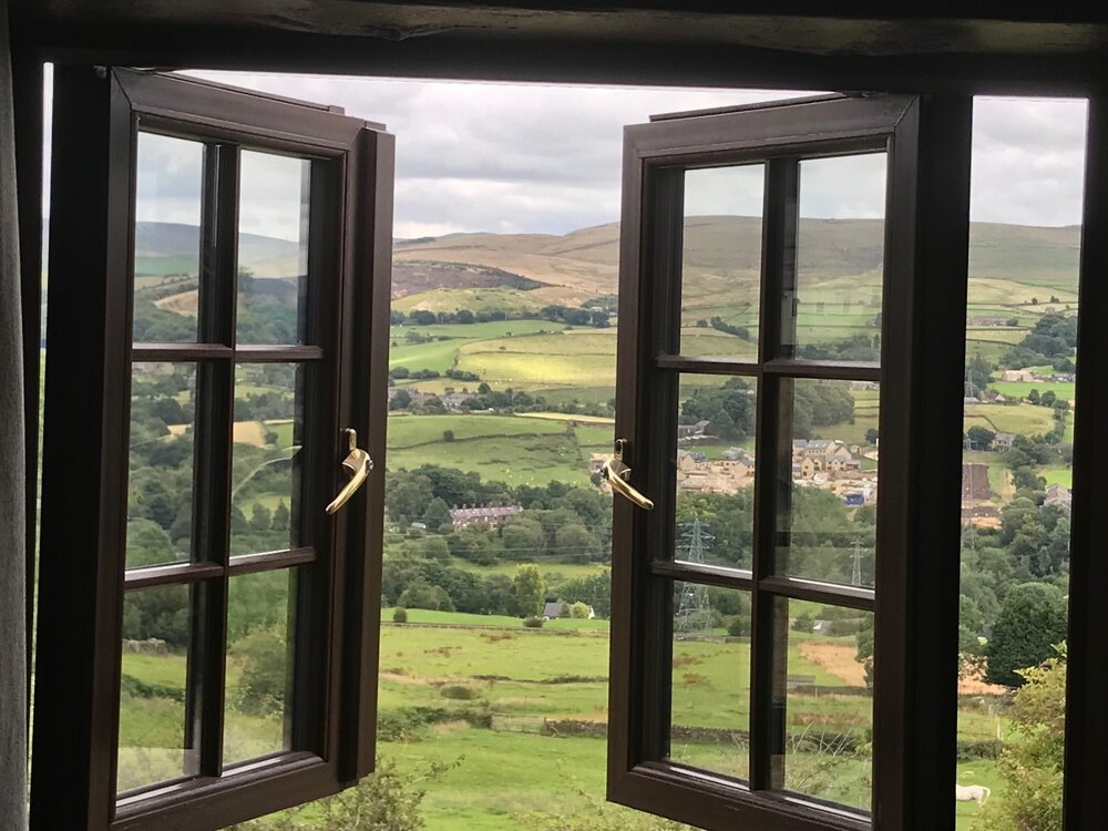
Staying in a cottage on a Welsh farm near Snowdonia. Internet is spotty but here are a couple photos- one of the cottage and another of a typical scene from Snowdonia. I'll post a few more in the next day or 2. Temps mostly in the low to mid 60s. Only a few days in the 70s and one that hit 80 the whole time I have been in the UK. Back to reality late next week.
- 156 replies
-
- 10
-
-
This. I said it when he blew that save before the all star break- another game the Orioles managed to get lucky and pull out the win- he simply cannot be trusted in a big spot, and that's pretty much the only requirement for a closer.
-
The Os have not been very good over the last few weeks, and coming out of the break they remain in a funk. It doesn't appear they are willing to include any top prospects in potential deadline deals, so I guess we will see what they can get in return for players like Mullins and Mountcastle.
-
Another shot from a hike in the Peak District. Off to Snowdonia on Friday.
- 156 replies
-
- 11
-
-

-
@vastateofmind One more for you. Hoping to get to Snowdonia the end of this week.
- 156 replies
-
- 13
-
-
-
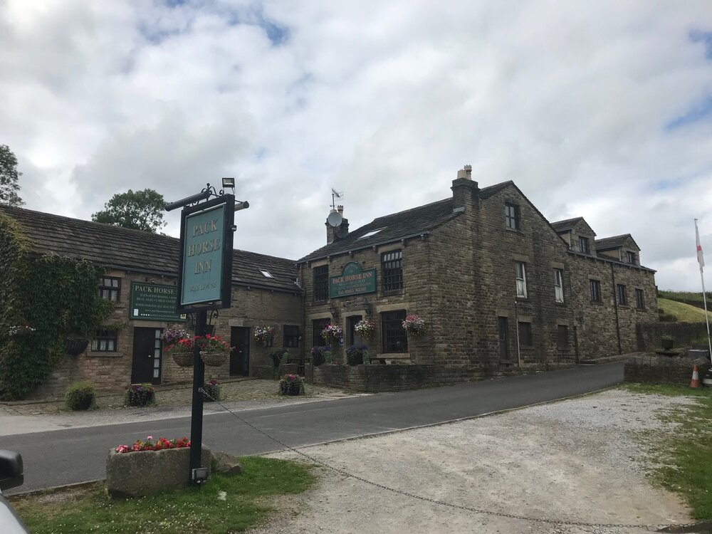
Couple shots from the Peak District. Weather is incredible here.
- 156 replies
-
- 15
-
-
From the latest ENSO blog. https://www.climate.gov/news-features/blogs/enso/july-2024-enso-update-summer-vacation
-
2.7" for July at my house. Happy to get the recent rains so the plants aren't in peril while I'm away.
-
0.83" Mid 70s here in the UK today, and 80 tomorrow. Back into the upper 60s for next week.
-
Temp down to 96 at 330. Looks like a high of 97.
-
I cannot say strongly enough how happy I am to be missing this. Fun to monitor from afar. Going to take a long walk in a bit with a hell of a buzz and will probably wear a light jacket.
-
H5 is not overly impressive for big heat but lower levels reveal west/sw wind with downsloping/compressional heating, plus it is mid July and ofc that other thing we really shouldn't mention here. We cook so easily anymore.
-
97 at home approaching 130 EDT. Hottest temp of the summer by a degree so far. Might make a run at 100 which would be the hottest I have ever recorded here- that said my station gets sun soaked for a time early to mid afternoon so I usually go with the period from around 3pm onward for the actual high when it is back in the shade. Hopefully I remember to check it but I have lots of nice local beers to drink and I am off to a good start so we shall see.
-
Drinking a Double Tonka Frappe Coffee Stout from Vocation Brewery for my second HH beer of the day. Pretty good stuff. A tad sweet- leans towards dessert stout. @nw baltimore wx @vastateofmind


