All Activity
- Past hour
-
New warning up
-
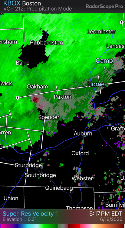
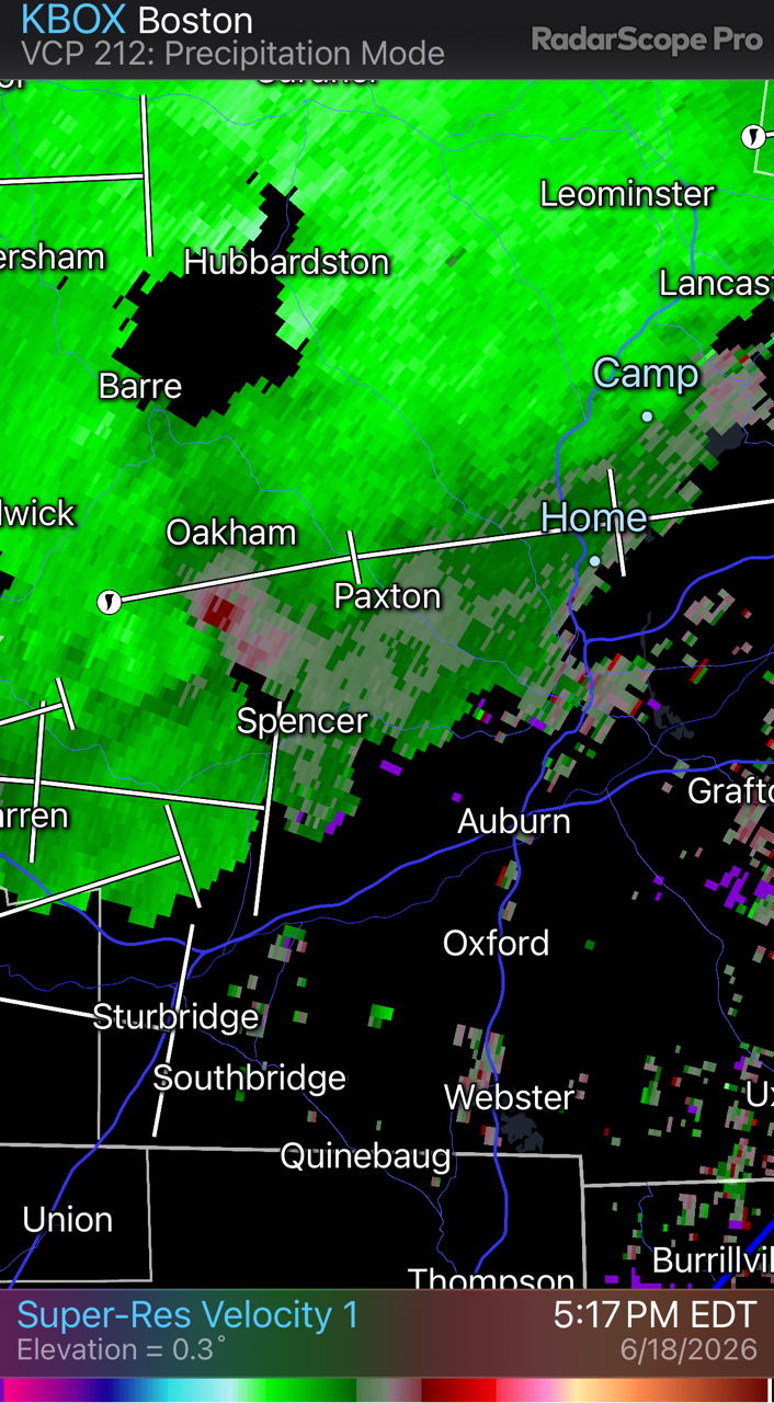
Actually I think there was a brief TDS just southwest of Paxton
-
Thought north of rte 2 was where it was at today?
-
That cell back in Warren is a bit amped too
-
The one near Warren looks good as well
-
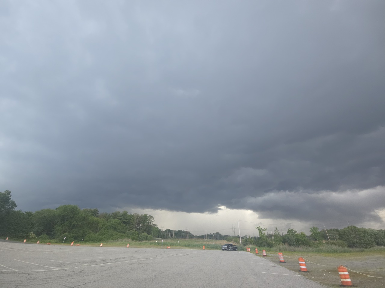
Decent wind with that line that came through Greenfield at 4 PM. Maybe 10 minutes of heavy rain but definitely some gusts that took down some small branches, etc. Sun is out now.
-
Low CCs but not quite enough for TDS
-
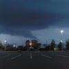
Nice having our phones go off.
-
And we're warned. The storm track going right over my house. Didn't have to chase anything lol
-
Tor warned just east of there. Probably could’ve went further back for that cell too
-
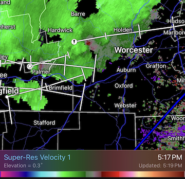
Tor warning a bit to my south. Oakham area
-
Now warned!
-
Tor warning now for Worcester.
-
There's better CAPE to the south, I think those cells are finally reaching the sun warmed areas.
-
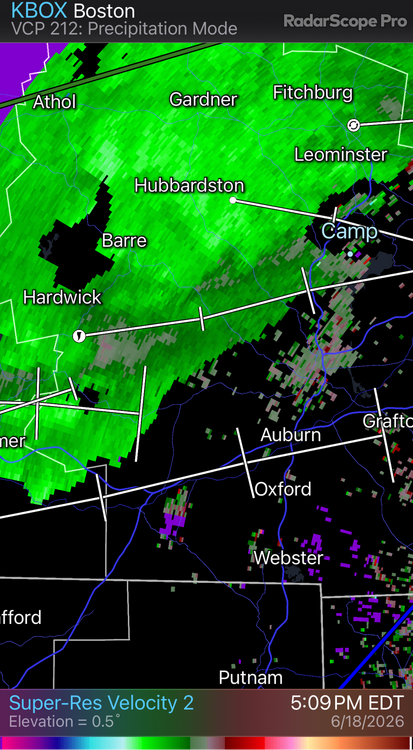
Something out near Palmer @weatherwiz?
-
Fish on air now not impressed, just calling it it downpours west of Worcester???
-
-
Stuff appears to be getting a bit more oomph. I wonder if the shear lessening is actually helping a bit
-
Okay, it's got my attention now...
-
Around 4:30 heading S on 91 near South Hadley I saw brief lowering and rotation.
-
Decent velocity curl west of Worcester 5:15pm...
-
Gusting 40

-
TVS heading this way. Always interesting to see what actually happens with cells like this. Usually it's much ado about nothing.
-
Not a single rumble of thunder. BORING
-
Looks better now


.thumb.gif.f92b16c631a1d15d405ed77b33f0710d.gif)