

RyanDe680
-
Posts
1,419 -
Joined
-
Last visited
Content Type
Profiles
Blogs
Forums
American Weather
Media Demo
Store
Gallery
Posts posted by RyanDe680
-
-
2 minutes ago, Hoosier said:
I might raise my winter grade by a whole letter if this happens


Wow that’s a big call
-
 1
1
-
-
2.0” event out here
-
8 hours ago, SchaumburgStormer said:
This is so true it hurts.
Locked in for 6" at 18 hours? Think again! Here comes -RN
Fixed
-
7 minutes ago, Chicago Storm said:
D7 call still in play.
.I'll jump on that too.
-
2 minutes ago, Baum said:
most likely overdone...as they typically are...any year...and I would not say amped. Looks like a solid 3-6" snow event with the wildcard being lake enhancement. This was never a 8-12" type event in this neck of the woods. 12Z GFS holds serve on placement it appears.
I think given this winter, 2-4" is amp'ed.... (kicks small 4" x 3" ice glacier)
-
These totals are too amp'ed. This is 2019-2020, year of the overdone model. Even at 10:1, I don't see the moisture to support that swath.
-
2 hours ago, WeatherMonger said:
Signed up years ago but haven't posted until now. Liking the trends IMBY, Halloween has been the best snowfall here, nickel and dimed ever since with a few advisory level snows.
Wow, 8 years. That was a click to reset password scenario.
-
 1
1
-
-
Northern parts of Chicago no way for 17”
-
 1
1
-
-
Looking at the radar, what’s the expectation? Looks as if the band rotating west will end soon in south suburbs?
-
1 hour ago, Hoosier said:
Yeah, getting to be a little much. I'm gonna actually have to moderate if it keeps up.
1 hour ago, Stebo said:GFS "upgrade" has really destroyed a half way decent model. It is almost to the point of being useless.
Hasn’t that been the case ever since the upgrade? Garbage in garbage out?
-
42 minutes ago, StormChaser4Life said:
Well the last hurrah of this system sure went to crap. For such a pretty system on water vapor, it definitely isn't living up to how it looks. Lol. Lack of cold air ftw
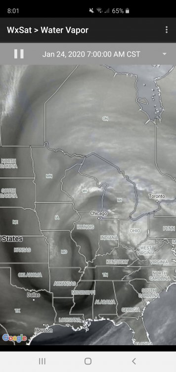
That image actually looks pretty stout. Too bad its lipstick on a pig.
-
2
-
-
1 hour ago, Stebo said:
We get it, rain for downtown. You dont need to beat that horse so badly that you are making low quality posts like this.

-
1
-
1
-
 1
1
-
-
Decent layer of ice on border of cook and dupage. Foggy. Rain gauge says 0.24" fell overnight.
-
How much longer until the election?
-
1
-
5
-
-
Agree with another garbage storm
-
1
-
-
Nothing yet at my office in Oak Brook.
-
13 minutes ago, Hoosier said:
The storm that I remember best is the one at the end of January 2002. That one had higher snow amounts in the area though. I had about 8" of snow, a half inch or so of sleet and a really minor glaze of ice (was in Lake IN back then about 5 miles from where I am now) as the heavier ice was literally only a few miles south. That was just a moisture firehose... go back and look at radars from back then.
How come you don't go for you pilots license? More than half of the knowledge is weather based - you'd enjoy it I think.
-
2
-
-
DAB-10”. Final call
-
2
-
1
-
-
Resembles that odd dry slot
-
5 days out is 5 days too many to figure it out
-
1
-
2
-
-
After today’s lousiness I’ll come here instead
-
1
-
-
46 minutes ago, Chicago Storm said:
Gonna be close, but the best returns/snow may actually miss ORD to the SE.
We needed a SE trend, and may have gotten too much of one.
This is a good call.
-
Developing nicely on the ILX radar. Nice lake effect into western cook as well.
-
Impressive severe weather risk down south for Jan 11.

Feb 12-13 Snowstorm
in Lakes/Ohio Valley
Posted
This looks over juiced again.
one positive is the cold air support though.