

radarman
-
Posts
14,464 -
Joined
-
Last visited
Content Type
Profiles
Blogs
Forums
American Weather
Media Demo
Store
Gallery
Everything posted by radarman
-

May obs/discussion thread - Welcome to Severe Season!!
radarman replied to weatherwiz's topic in New England
This is why we've been going to Truckee in July lately -
The 2023 Lawn, Garden, Landscape Party Discussion
radarman replied to Damage In Tolland's topic in New England
My wife and I joke that the risk of famine is widely overstated in light of this fact -
May obs/discussion thread - Welcome to Severe Season!!
radarman replied to weatherwiz's topic in New England
Remember it like yesterday. 18-24" up high at KMart and tickets were free for all.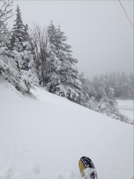
-
The 2023 Lawn, Garden, Landscape Party Discussion
radarman replied to Damage In Tolland's topic in New England
Whatever you do don't mow it. The rhizomes will just get dispersed and it'll make it worse. IMO the best thing to do is just pull it out of the ground every time it comes up. Be careful how you dispose of it. The energy it uses to grow is not recovered and over the course of 5-10 years it looks worse and worse til it eventually gives up. -
After the caterpillars killed off several oaks woodpeckers of all variety have taken up residence here. It sounds like a construction site after 5 AM.
-
Nice work. Per a friend Quabbin has been really good for smallies and they're just getting on the beds now. Salmon apparently have been tough, but the word is that there is a ridiculous amount of baitfish out there showing up on fishfinders... so maybe that bodes well for some big fish of all varieties down the road. At any rate, if you're pulling in 6lb'ers at Sebago you're probably not missing much.
-
Nothing personal but here's to a nice big ridge over your head
-
The 2023 Lawn, Garden, Landscape Party Discussion
radarman replied to Damage In Tolland's topic in New England
We water and cover and hope for the best. Point and click has 27 here, which would be less than ideal but we may be able to withstand it. Much lower and we'll be starting over. -
The 2023 Lawn, Garden, Landscape Party Discussion
radarman replied to Damage In Tolland's topic in New England
Lets hope that freeze watch is a bust thx. I know... should not have planted sensitive stuff this early. -
May obs/discussion thread - Welcome to Severe Season!!
radarman replied to weatherwiz's topic in New England
Nice well mixed breezy afternoon keeps them at bay. -
May obs/discussion thread - Welcome to Severe Season!!
radarman replied to weatherwiz's topic in New England
Will this be 18 straight days of BN highs for many? -
Good day to have a brush fire before the burn bans start. Otherwise fairly unpleasant.
-
That cell SW of the metroplex headed generally toward Stephenville is a beast.
-
Agree. Very overcast and showery right now. SPC meso discussion mentioned that gravity waves may help disturb the stratus, but not before the incoming stuff from the NW arrives. I guess if there is a window for strong surface based convection you'd have to hope for the MCS to continue to deflect NE and maybe leave an OFB somewhere near I20, then clear out later on for a couple hours. I dunno though.
-
Miller B right on time?
-
Stowe has a gondola that crosses the parking lot between Spruce and Mansfield base lodges
-
Got more from that event than any event this year
-
At Killington Bear and Needles eye were overcast, Superstar socked in at the top, while Ramshead and Snowden baked in the sun. This lasted the entire day.
-
Dang you got 3" of rain from that? Wow
-
One pretty good rumble just now. Garden variety stuff but the breeze feels nice.
-
That radar loop is nuts especially at the end
-
Good sized fire in BTown also
-
Fixable problems
-
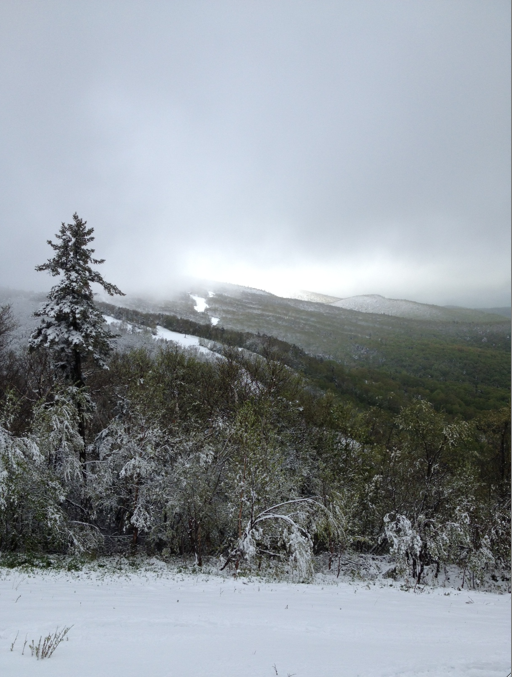
summit chair laps on Mt Ellen
-
CONCERNING...SEVERE POTENTIAL...WATCH LIKELY VALID 021822Z - 022015Z PROBABILITY OF WATCH ISSUANCE...95 PERCENT SUMMARY...SUPERCELLS WITH A RISK FOR ALL HAZARDS MAY DEVELOP AS EARLY AS MID AFTERNOON ACROSS PORTIONS OF CENTRAL AND NORTH TX, INTO SOUTHERN OK. A TORNADO WATCH WILL BE ISSUED SOON TO COVER THE THREAT. DISCUSSION...ACROSS THE SOUTHERN PLAINS, AFTERNOON WV IMAGERY SHOWED A WELL-DEVELOPED, COMPACT VORT MAX TRANSITING ACROSS FAR WEST TX AND EASTERN NM. AHEAD OF THE VORT MAX, RAPID LOW-LEVEL SURFACE MOISTURE RETURN WAS EVIDENT ACROSS CENTRAL AND NORTH TX WITH DEWPOINTS SURGING FROM THE LOW TO MID 50S TO MID 60S F OVER THE LAST 1-2 HOURS. WITH RAPID MOISTENING AND PARTIAL CLOUD BREAKS ONGOING, CONTINUED DESTABILIZATION (1500-2000 J/KG MLCAPE) IS EXPECTED THROUGH THE AFTERNOON. VERY STEEP MID-LEVEL LAPSE RATES (8.5-9 C/KM) FROM THE 12Z RAOBS WILL SUPPORT RAPID AND ROBUST UPDRAFT DEVELOPMENT, POTENTIALLY AS EARLY AS 19-20Z. STRONG VERTICAL SHEAR AHEAD OF THE VORT MAX ( 45-60 KT 0-6KM SHEAR) WILL ALLOW FOR STORM ORGANIZATION WITH A PREDOMINATELY SUPERCELLULAR MODE. A SOMEWHAT COMPLEX CONVECTIVE SCENARIO MAY EVOLVE THIS AFTERNOON WITH MULTIPLE AREAS OF NEAR SIMULTANEOUS INITIATION POSSIBLE. CELLS MAY INITIATE WITHIN THE MODIFYING WARM SECTOR NEAR AND TO THE WEST/NORTHWEST OF THE METROPLEX AND FAR SOUTHWEST OK. AT THE SAME TIME, THE DRYLINE IN WEST-CENTRAL TX WILL LIKELY INITIATE A FEW SUPERCELLS AS IT MIXES EASTWARD. HODOGRAPHS, WHILE CURVED IN THE LOWEST 1-2 KM, ARE EXTENDED AND MOSTLY STRAIGHT LINE ALOFT. THIS, ALONG WITH THE FAVORABLE BUOYANCY AND LAPSE RATES STRONGLY SUGGESTS LARGE AND WIND-DRIVEN DAMAGING HAIL WILL BE LIKELY WITH ANY SUSTAINED STORMS. A TORNADO RISK (SOME SIGNIFICANT) MAY ALSO EVOLVE GIVEN THE POTENTIAL FOR DISCRETE CELLS AND 0-1KM SRH OF 150-200 M2/S2. A LOCALLY GREATER TORNADO RISK MAY ALSO EVOLVE FARTHER EAST WHERE LOW-LEVEL SHEAR IS EXPECTED TO INCREASE LATER THIS EVENING. GIVEN THE POTENTIAL FOR SEVERAL SUPERCELLS WITHIN A RAPIDLY MODIFYING AND FAVORABLE THERMODYNAMIC/KINEMATIC ENVIRONMENT, A TORNADO WATCH WILL LIKELY BE ISSUED THIS AFTERNOON. ..LYONS/HART.. 04/02/2023


