FXWX
-
Posts
1,403 -
Joined
-
Last visited
Content Type
Profiles
Blogs
Forums
American Weather
Media Demo
Store
Gallery
Everything posted by FXWX
-
74 here
-
Obviously! Lol
-
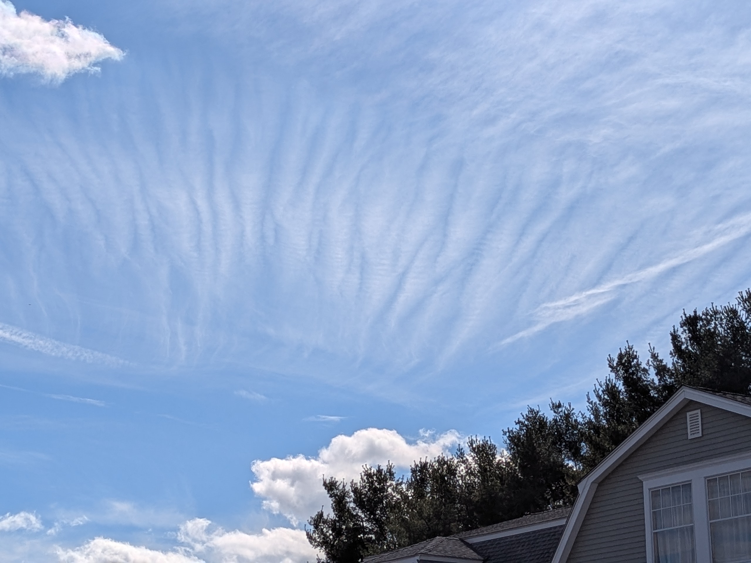
Looks to be a bit of gravity wave action over CT this afternoon...

-
I am beyond tired of seeing those maps... They are of little value to most folks; and grossly misunderstood... We have been in and out of moderate to severe drought levels for the past several years. And yet, here we are with solid water supplies and no water jug filling lines forming at the neighborhood fire hydrant.
-
Could be!
-
You may be onto something? Lol. It makes it sound like folks are out there filling their pools and watering their gardens on March 18th...
-
Reading the critical drought story on 25 Boston makes me wonder if they think we are in the middle of a severe summer drought! Not mid- March? Banning outdoor water use, etc... Sounds kinda crazy! https://x.com/i/status/2034340337364218330
-
59 mph here in Burlington CT
-
Sadly, you are probably right!
-
Let's go for it and jump directly to May!
-
Radar would have suggested a few inches across CT over the past 6 hours, but in reality, NADA...
-
Lots of virga or at least intensity levels much less than implied by radar in this area...
-
You can miss it when you accidently click on 2002-2003 instead of 2022-2023... lol Also, a function of trying to concentrate on writing reports after 8 PM! My apologies... As always, nice work...
-
Working on a weather analysis for the late Feb to early March 2023... Checked out your site, but did not see a map for a Feb. 27-28, 2023 event; appears to have been widespread 4 to 6 inch amounts across FF and NH counties in CT...
-
Here's mine a few minutes ago.

-
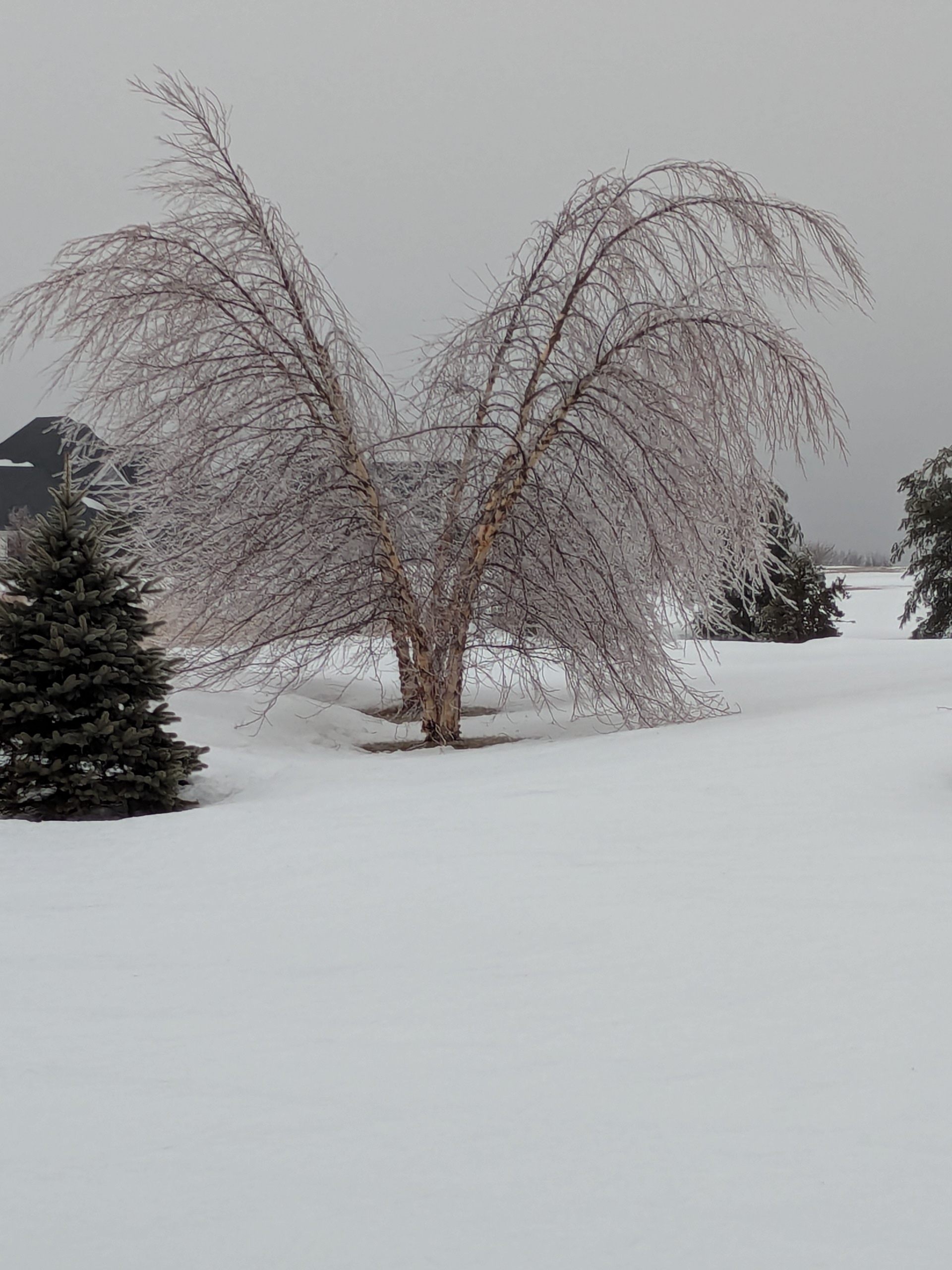
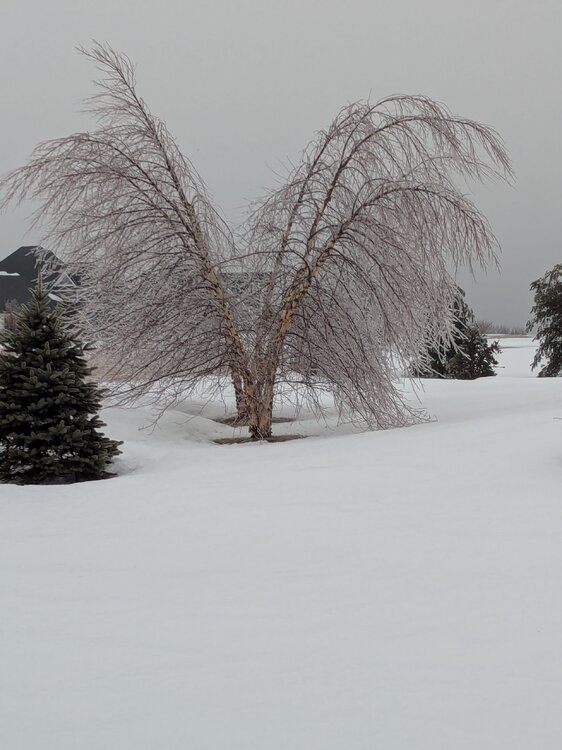
Still lots of ice on the hill in Burlington CT...
-
Absolutely... The old timers knew that... Some of new crews are just figuring that out...
-
Had local reports of cars sliding out of their driveways into the street overnight with no one in the cars!!!
-
Lots of half day and parent conf schedules in play... just adds more uncertainty to the decision... Nothing would surprise me... holding conference calls with 92 districts at 4 am should be fun... Lol... I'm betting lots of cancellations due to uncertainties of onset timing, and likelihood low-level cold is a bit more stubborn than modeled... Most towns need 90 minutes to 2 hours for a full bus routine???
-
Oh yes, they will! Last Wednesday chaos was avoidable; the option to delay and reassess was there and quite a few districts went that route... it was the ones that challenged the onset snow with a regular start that led to all the issues...
-
I'm betting on lots of cancellations after the chaos of last Wednesday... Already getting inquires that suggest there is little stomach to try to challenge the timing; especially for interior CT...
-
Has a Season to Date snow totals map been posted yet? Looking for a total for anyone in the Bristol, CT area?
-

"Don’t do it" 2026 Blizzard obs, updates and pictures.
FXWX replied to Ginx snewx's topic in New England
Thanks much -
"Don’t do it" 2026 Blizzard obs, updates and pictures.
FXWX replied to Ginx snewx's topic in New England
Piles on my street...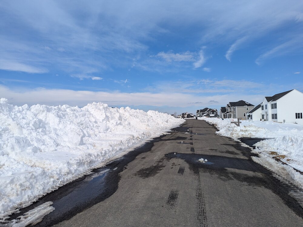
-
"Don’t do it" 2026 Blizzard obs, updates and pictures.
FXWX replied to Ginx snewx's topic in New England
Do you have a seasonal total to date for either Southbury, Newtown or Woodbury?