FallsLake
-
Posts
6,318 -
Joined
-
Last visited
Content Type
Profiles
Blogs
Forums
American Weather
Media Demo
Store
Gallery
Everything posted by FallsLake
-
I'll have to say it's hard to get excited about future prospects with the current warm temps we're getting. Should be close to 70 at RDU tomorrow. I guess the only thing to do is enjoy it.
-
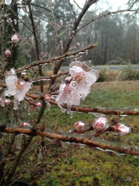
I liked the ice we received last March. But not that horrible storm we received in 2002: http://www4.ncsu.edu/~nwsfo/storage/cases/20021204/