hstorm
-
Posts
590 -
Joined
-
Last visited
Content Type
Profiles
Blogs
Forums
American Weather
Media Demo
Store
Gallery
Everything posted by hstorm
-
GFS has another small event on 3/29-3/30 (amounts below are on top of those in the map I posted above):
-
Minor event:
-
0z GFS showed another post-frontal snow. 6z showed post-frontal rain.
-
Mostly snow here now. Dusting of snow/sleet on the car.
- 1,093 replies
-
- 7
-

-
- severe
- thunderstorms
- (and 1 more)
-
Snow mixing in with the sleet in Great Falls. 36.0
-
Sleet mixing in Great Falls.
-
Impressive wall of rain and wind with the front. Temp dropping fast.
-
Ironically, our kids's elementary school had their tornado drill on Friday. They all thought it was really cool and exciting. (I recognize, of course, that others might feel differently.)
- 1,093 replies
-
- 1
-
-
- severe
- thunderstorms
- (and 1 more)
-
HRRR, NAM, and GFS all showing a period of snow tonight N&W of DC.
- 1,093 replies
-
- 1
-
-
- severe
- thunderstorms
- (and 1 more)
-
Just a brief heavy downpour in that line (at least here). No wind or anything else besides rain.
- 1,093 replies
-
- 1
-
-
- severe
- thunderstorms
- (and 1 more)
-
Sun came out. 66/64.
-
Some tropical rain here but nothing remarkable. This band seems to have weakened (at least in VA).
-
Light shower and some breeze here in front of the line. 66/63. Our FCPS school emailed and said they would be dismissing as soon as busses arrive, even if before the 3-hour early window. Seems like they just want to be done with the day.
-
Clouds have thickened up again here after some brief breaks around 9:30-ish. 65/63.
-
I don’t get why anyone roots for severe storms. Especially in populated areas. There are real people with real homes whose lives could be upended. My hope is for a complete bust.
- 1,093 replies
-
- 10
-
-

-
- severe
- thunderstorms
- (and 1 more)
-
3k NAM does give DCA severe accumulating snow (0.7”)
- 1,093 replies
-
- 3
-
-
- severe
- thunderstorms
- (and 1 more)
-
I am in the skeptical camp on this one. Threat needs to be taken seriously, of course. But in my experience we fail at these setups even more than we fail at winter storm setups.
- 1,093 replies
-
- 1
-
-
- severe
- thunderstorms
- (and 1 more)
-
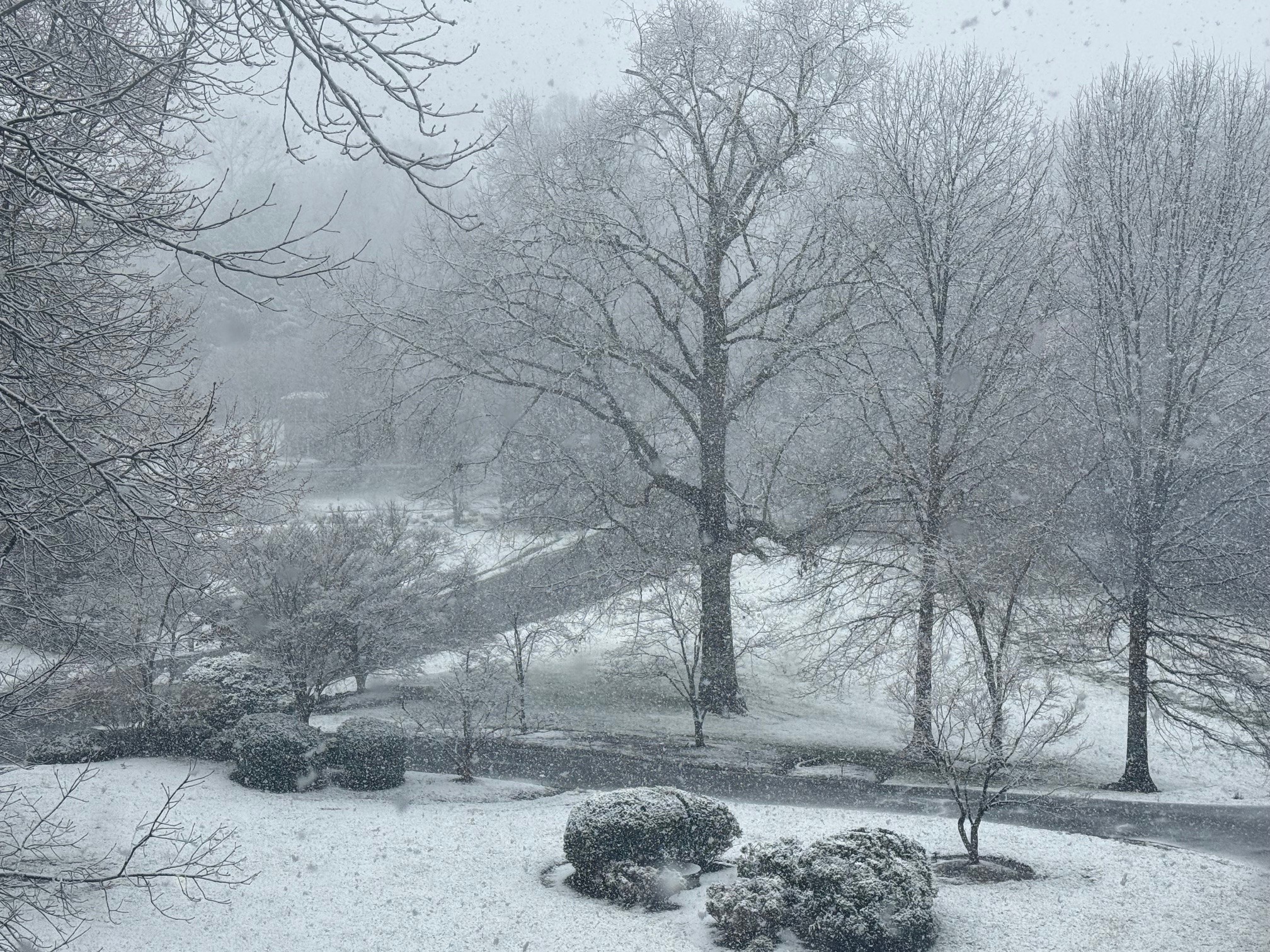
Low of 26.6 Still a wintry look with the remaining patches of snow.
-
It's either gone by sunset or gone just after sunrise tomorrow. Doesn't really matter. The real joy was watching the rates and seeing real accumulation just a few hours after overnight mid-summer warmth.
-
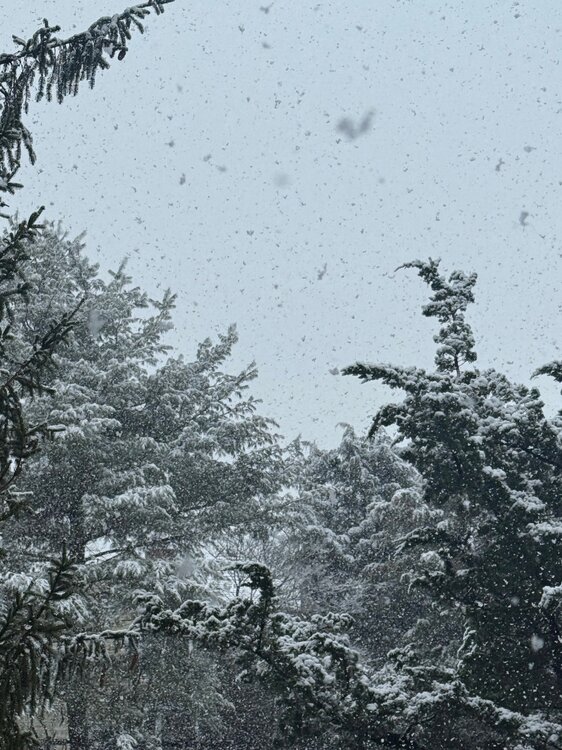
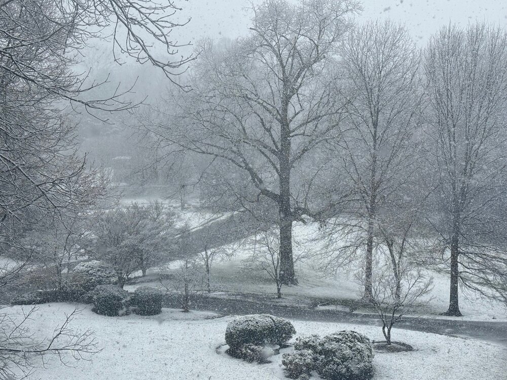
Still a steady light snow here, just a few miles east of the county line. We definitely got the goods for the past few hours. Hopefully those to the east now also cash in.
-
- 680 replies
-
- 12
-
-
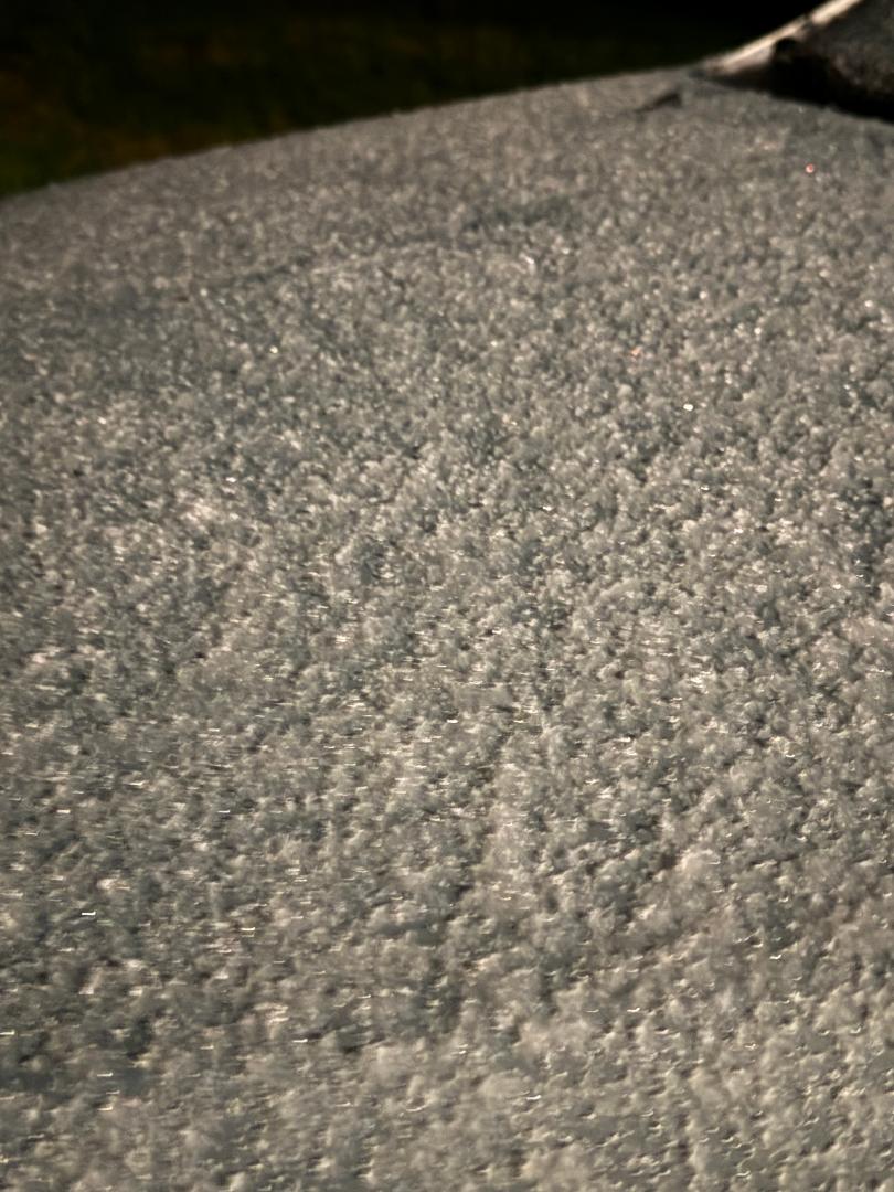
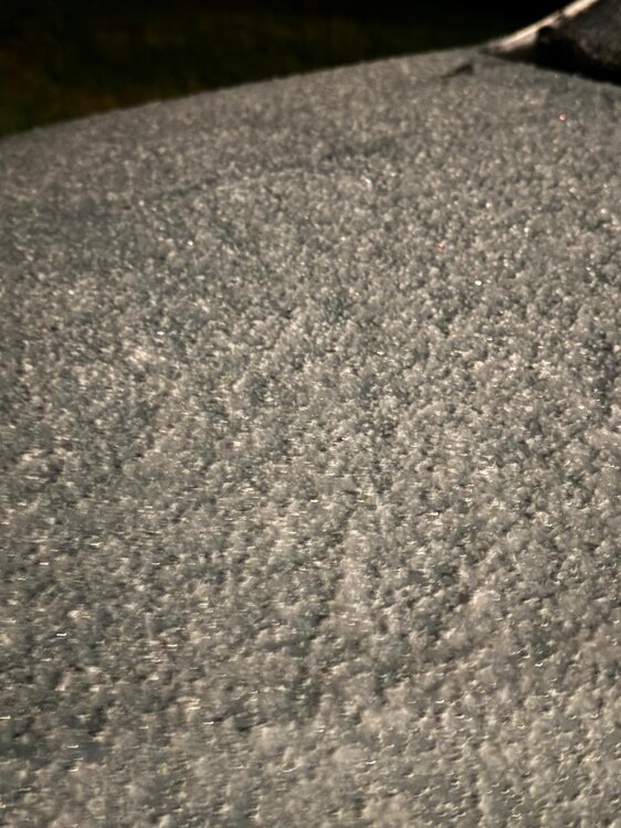
Just measured a very unofficial 1.0" on the car. Obviously less on the grass. But looks like more than 0.5".
-
Getting close to a legit 0.1" on the grass. 33.8 degrees.