hstorm
-
Posts
607 -
Joined
-
Last visited
Content Type
Profiles
Blogs
Forums
American Weather
Media Demo
Store
Gallery
Everything posted by hstorm
-
18z GFS. Someone who pays money for these things can post a better map:
-
3k NAM is less enthused but still gives something to most:
-
18z 12k NAM says yes:
-
Kuchera map is notably (and unsurprisingly) less impressive.
-
18z HRRR gives us the goods:
-
Still only 59 for the high here today (and currently 57) … but now up to 65 just a few miles south in Reston.
-
For the past few days, NAM has shown DC N&E staying on the colder side of the front today, at least until evening. 12z 3k NAM seems to suggest that the boundary stays even a bit further S&W for most of the day. We’ll see. But it’s done pretty well this week and is typically good with these setups.
-
I may be on a one-man island but I love this weather. Still warm enough to get outside and do anything you want. And plenty of time for sun and warmth once it is really spring. This was the rule and not the exception through at least April growing up in New England
-
12z NAM remains persistent with the wedge hanging on through Saturday for most of us. 3k NAM shows the same.
-
0z NAM continues to strengthen the push of the BDCF. If it’s right, cold sector hangs on from Thursday evening thorough Saturday evening from NoVA north and east. Front looks like gets as far SW as Lynchburg.
-
If my memory is correct (and it may not be), BDCF placement is one thing that the NAM does well. It’s at end of range now but seems to suggest that the front makes it through our area on Friday night. Something to watch over the next few days.
-
Outta gas and Outta Time: Early March Winter Storm finale
hstorm replied to Ji's topic in Mid Atlantic
Much better than I expected this morning.
-
Outta gas and Outta Time: Early March Winter Storm finale
hstorm replied to Ji's topic in Mid Atlantic
Somewhere between 1/2" and 1" so far. Heaviest rates of the day. Even the stone patio is starting to cave. -
Outta gas and Outta Time: Early March Winter Storm finale
hstorm replied to Ji's topic in Mid Atlantic
A very pretty dusting so far in Great Falls. 30.4 degrees. -
42” on the ground at TF Green per 6pm METAR (snow depth pre-storm was 5”): KPVD 232051Z COR 35014G28KT 1/2SM R05/4500V5500FT -SN FZFG VV010 M03/M03 A2937 RMK AO2 PK WND 36035/2014 SLP946 SNINCR 2/42 P0001 60002 T10281033 53031 $
-
There is a 36" report from Providence (~10 miles north of PVD) at 4:21pm. Assume T.F. Green will end up with a similar final total. Absolutely incredible.
-
That's just taking the 24-hour snow report from Wintergreen. The report at your link is time-stamped 7:11am. That's the same time stamp as the mountain report on Wintergreen's website (Mountain Report + Cams - Wintergreen Resort). It's all circular. To repeat, those ski area reports are always inflated. But thanks anyways for the name-calling.
-
I assume it was from the mountain report on Wintergreen's website. In my experience, every resort fudges those numbers. Great job for a slantsticker.
-
Providence, RI (my old hometown) has 32.8" as of 1pm, and still reporting SN+. Biggest storm in history at the airport.
-
Double US gold in hockey = double gold for GFS/NAM. Lock it up.
-
Does seem low but I think the best of the band was just to the east of IAD. I am <10 miles northeast of IAD and got twice as much (3.5" on the ground this morning, which likely means ~4.5" pre-compaction . . . I didn't measure during the storm). @bnchogot similar numbers a bit east of me.
-
Band has turned into a pretty steady light snow.
-
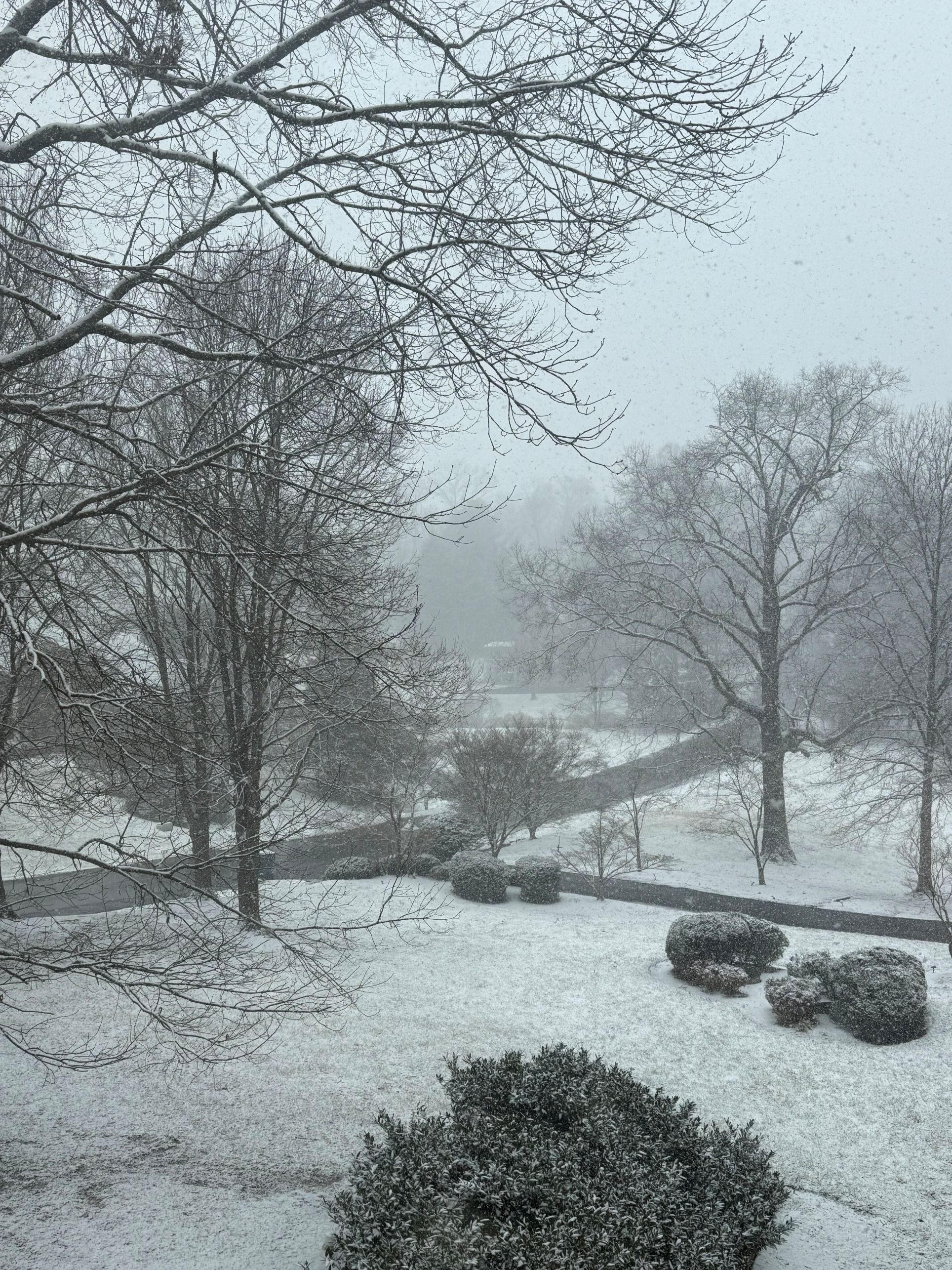
Measured 3.5” OTG this morning in Great Falls. Didn’t measure during the storm, but fair to say 4.5”-5” before compaction. Gorgeous with mood flakes falling right now. 30 degrees.
-
I would enjoy what’s falling and be happy that we have done relatively well. Just came back from a jebwalk and it is a winter wonderland here!
-
Continuing to dump snow in Great Falls. Georgetown Pike is covered despite pretty regular plowing.