
.png.2082198afdafcedf9ad03f1d6dfb7336.png)
HIPPYVALLEY
-
Posts
31,348 -
Joined
-
Last visited
Content Type
Profiles
Blogs
Forums
American Weather
Media Demo
Store
Gallery
Everything posted by HIPPYVALLEY
-
All snow here now but light, nice flakes. 32F -SN pretty heavy echos to my W so we'll see what that brings.
-
Close to .50" of sleet here now. Small flakes starting to mix in. 32.5F
-
Pounding sleet right now.
-
34F Sleet
-
I'm going to nowcast some deflated weenies. Any significant icing will be at high elevations of Berks and Greens in S VT. A lot of QPF will be wasted as liquid in most of SNE. Pellets will get pretty far N tonight before retreating. Part 2 is still the wildcard fir NNE. WTF else should a NE winter wx enthusiast expect from a lakes cutter?!?
-
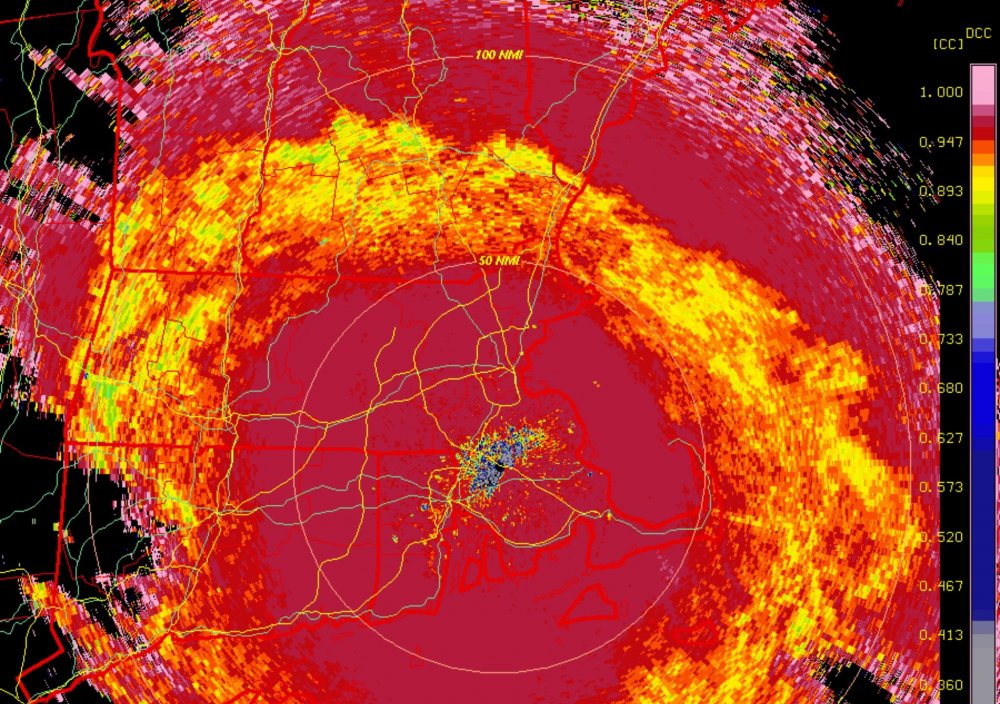
Interesting dual pole.
-
Yes but only one degree. 34/30 ATM.
-
BOX forecast might be right on.
-
33/30. -RA
-
We need you to post more! You are the only poster in the Brattleboro area.
-
His wife knows that forecast.
-
What school? It’s vacation.
-
37/26 w/ a few rain drops.
-
.thumb.png.4150b06c63a21f61052e47a612bf1818.png)
Winter 2020 New England Banter and General Obs
HIPPYVALLEY replied to CapturedNature's topic in New England
Yeah, my brother said Wildcat looked similar. -
There is almost no snow otg in N Conway. Just piles.
-
40/24
-
Sleet to Bangor?
-
There is a lot of IP/ FZRA in our Monday.
-
They actually form strong, interlocking root mats so if you have a bunch of white pines the bigger worry is split trunks breaking and falling as opposed to whole trees going over.
-
I agree but depending on how this plays out, that area from Gardner to Chelmsford up to Nashua could get into some good icing. The icing zone is the wild card that can easily get shoved 50 miles north or south .
-
At least they don't have huge branches. Trust me, I am not thrilled with this storm, hoping for some really good dynamics wrt to lift and we stay mostly sleet.
-
You've seen my pics, I am surrounded by 70-100' white pines.
-
I would be a little concerned if I was anywhere from Mitch to Yukon Cornelius to Dave and even towards Tippy for a pretty good icing event. That includes me of course but I think elevation will certainly help for bigger ice totals.
-
Mesos all point towards a decent icing event here. Fun nowcast event incoming. Don't really want to lose power but should be an interesting wintery end to a fun December out this way.
-
Faith in Ullr?


