HIPPYVALLEY
-
Posts
32,932 -
Joined
-
Last visited
Content Type
Profiles
Blogs
Forums
American Weather
Media Demo
Store
Gallery
Everything posted by HIPPYVALLEY
-
 well within the realm of possibilities. gonna' snow where it wants to snow.
 -
We got about 10 minutes of light snow here around 10pm but that was it.
-
Dec 2020 storm was 17" here. The early Feb 2021 was only about 9" imby. But yeah, that Dec 2020 was pretty long duration.
-
I don't remember the last time somebody said "this baby is crawling up the coast". I will be quite happy with any system that brings me 4-6" or more.
-
It is not a bad look at this range.
-
OK, game over, back to storm talk...
-
Yeah, not a fan. Great game though
-
Yes, looks pretty paltry everywhere.
-
I like it when Albany gets snow from a coastal.
-
Yeah, we have a big W MA, outdoor Cub Scout event on Saturday but the timing pretty much points to that day no matter what the final solution is.
-
The players are still pulling into the parking lot, never mind worrying about who is on the field.
-
Check back on Tuesday night for a better confidence level in where this is heading.
-
Way too far out still but you certainly want to see a trend towards better wave spacing.
-
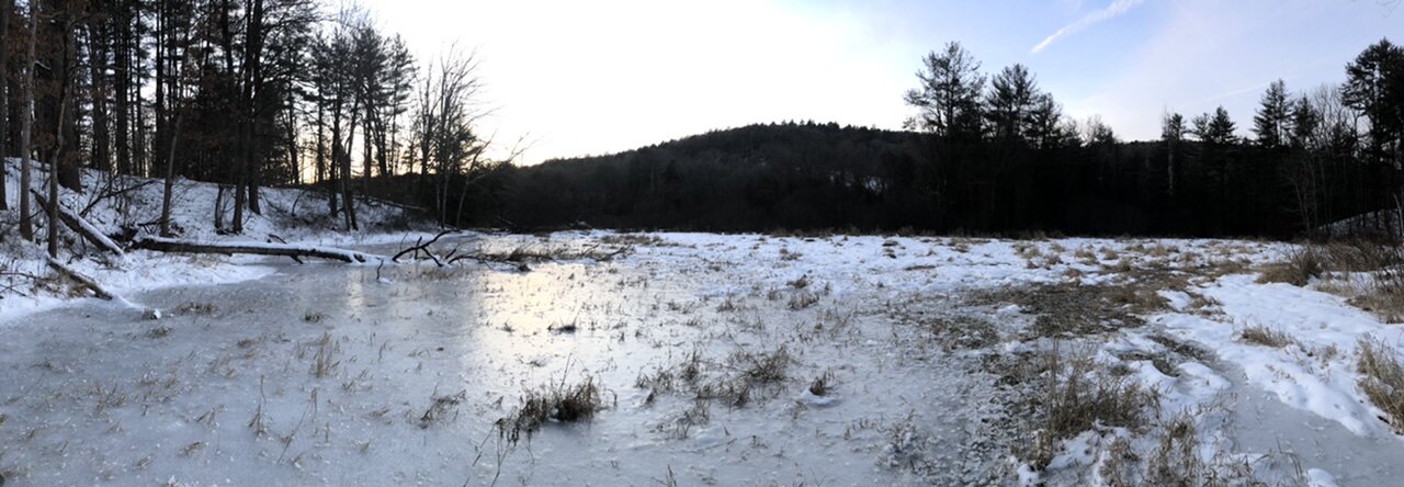
18/10. Nice mid-winter day. Our back yard grows exponentially in the winter when the wetland freezes.

-
I experienced Feb 78 and the April 97 storms in the Boston area but I still think my all-time favorite was the January 2005 blizzard. I was in Cambridge and it snowed for over 30 hours. Measuring was tough with the drifting but it was well over 30” with drifts over 5 feet high. Hours of whiteout conditions.
-
Up to 12° now off of a low of -5F Making a good cup of coffee is an endeavor with fairly narrow parameters relative to the method you are using. It’s a somewhat time-consuming ritual and most people can’t be bothered with doing it correctly. I don’t drink it with much frequency anymore but I still own six different methods for making coffee. They all have their merits but the smoothest cup I’ve ever had, is when I make it in a 1940s, GE vacuum pot that I bought at an antique store. It looks like a lab experiment sitting on the stove.
-
GFS and CMC both want to bring a meaty system up along the eastern seaboard next weekend.
-
Ha, I remember seeing those guys at a club in Cambridge in the 90's. Might have been a double bill with Morphine. Anyway, currently 3/-4 Should be a few degrees below zero by dawn.
-
I’ll start paying attention to that potential on Monday or Tuesday. I think aside from reporting my low temperature tomorrow morning I’m going to take the weekend off from weather watching.
-
I think I get one day above freezing in the next week. By this time next week you’ll be able to walk on most rivers.
-
Good, keep the ridging out West.
-
I'll take my chances with that look this far out.
-
Gee, I can’t understand why? I am hopeful we get a little more cooperation between the N & S streams for end of next week but either way, I am in no way discounting February for the possibility of some decent overrunning events.
-
I’m with you on that. Nuisance or not, an inch or two of snow early next week would be nice.