.png.2082198afdafcedf9ad03f1d6dfb7336.png)
HIPPYVALLEY
-
Posts
32,714 -
Joined
-
Last visited
Content Type
Profiles
Blogs
Forums
American Weather
Media Demo
Store
Gallery
Everything posted by HIPPYVALLEY
-
In my younger days I hung with a few high skill Chinese Kung Fu guys and they would discuss how palm strikes, as opposed to a more precise straight punch, were the ideal chest blows. Had the best chance of disrupting the heart beat, supposedly.
-
It's definitely a match up that matters wrt standings and playoffs so this will be interesting.
-
I agree 100% but the cynic in me says, it is the NFL, so I am surprised they are calling it.
-
30F CAD set up. Roads will be fine but trees etc. will look pretty!
-
Let’s see how things look overnight and in the morning. Even a few hour front end thump with 2-4” would have me ecstatic at this point.
-
Friday definitely has a shot for some frozen precipitation, especially over the interior, the problem is it looks like a weak sauce system, so no real dynamics going for it.
-
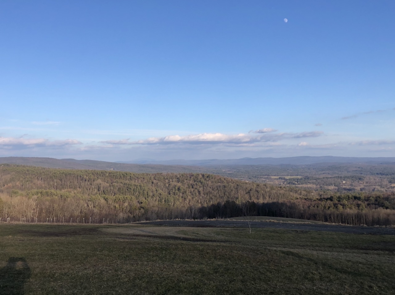
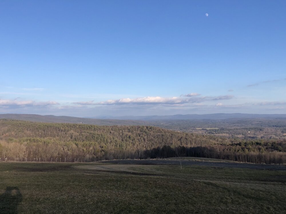
I took this about two hours ago. This is the view from Shelburne looking towards Mt Monadnock. Those are some bare hills for early January. I was at around 1000’ when I took this.
-
If it’s icy, people need to have enough sense when they should go out drive and when they shouldn’t. We are society that puts “getting to work” ahead of everything. It’s bizarre.
-
I know, not only is it bare ground and no great snow prospects but we don’t even get any nice days out of it. I know some of you had some nice weather last week but the valley has been dreadful. Just warm enough to wreck the pond ice too.
-
But the guests haven’t even arrived yet.
-
I would take it further and say any accumulating snow would be welcome.
-
I agree with you on not liking sub optimal ski conditions. Especially when you don’t get out on too many ski vacations. However, I will say that, an “OK day” outside, especially on a mountain, is better than almost any day inside. I think that’s what PF was alluding to.
-
Just as the snow has been haves and have nots so has the torch. I’ve gotten below freezing every night this week and highs have been low 40s at best. If we had any snow cover to start with we would probably still have some in northern Pioneer Valley Honestly, with no snow on the ground I wouldn’t mind a sunny day breaking into the 50s. It’s been mostly cloudy this week and low level cold. Feels like March. I think our luck starts to turn Friday in the interior.
-
C- here. About 5 inches of snow total and a white Christmas but certainly disappointing overall.
-
What is a day 14 forecast? is a better question.
-
My current temperature of 44° is my high for the week so far. Upper Valley not only doesn’t have winter but we can’t even get the temperatures to spike. It’s been cloudy for days here.
-
My New Year’s resolution is to not track snow threats until they are 3 days out or less:
-
Friend of mine just texted me this. He’s up in Craftsbury VT in the Northeast kingdom. That is pretty sad Jan 1st snow cover for that region.
-
Stuck in the clouds again. 38° No snow and we can’t even enjoy the warmth in the valley.
-
30° in Greenfield 46° in Chicopee.
-
Yes but you need to imagine Tip, sitting in a Chrysler Lebaron, February sun beaming through the windshield, warming those fine “Corinthian leather” seats.
- 203 replies
-
- 1
-

-
- ratter
- regression
- (and 1 more)
-
Interior west may be done with the big snows by then as the Pacific will have reshuffled a bit.
-
We might get screwed with snow jackpots but the northern part of the Pioneer Valley (Greenfield to Brattleboro) is like another planet wrt winter torches. High of 48° today and currently 30/29. Cloudy until about 3pm.
-
Of course the valley is stuck in the clouds and 45°.
-
They are out and about year-round in my yard. I’ve seen them hopping through a foot of snow.
.thumb.png.4150b06c63a21f61052e47a612bf1818.png)