michaelmantis
-
Posts
283 -
Joined
-
Last visited
Content Type
Profiles
Blogs
Forums
American Weather
Media Demo
Store
Gallery
Everything posted by michaelmantis
-
Radar trends down south don’t look so hot for us either...
-
Freezing rain coming down now. Few miles north of me (based on traffic cams) snow coming down in McHenry county. 1/4 of icy glaze on driveway and untreated surfaces.
-
Not sure where in McHenry county you are but I'm 3 miles south of I90 on Randall Road and every tree has ice on it still, branches (and Christmas lights) totally encapsulated in ice. This next storm setup looks to be similar to the last one, minor temp differences and precip types/intensity may vary over a relatively short distance.
-
I was just looking out the window and thought the same exact thing. There is still a glaze as well as branches covered in ice. The lack of sun and wind has meant nothing has knocked off. If temps stay marginal and turns out extreme N IL gets ice and not snow that could get bad pretty quickly.
-
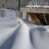
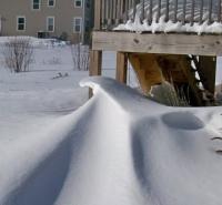
Almost 4 inches here with the backside round coming into NE IL now. I got my Christmas wish of being able to go sledding tomorrow with my daughter. An ice glaze will only make it more interesting! ;-)
-
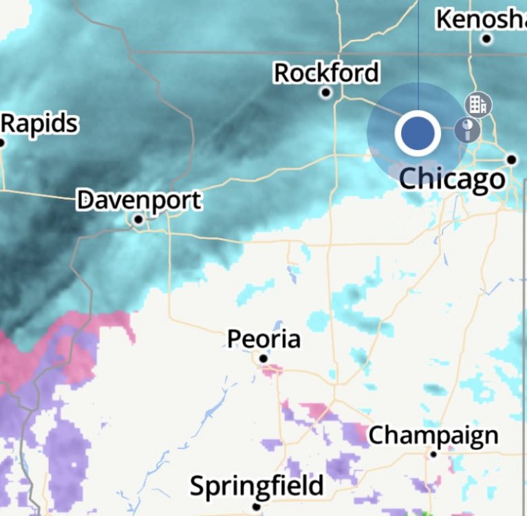
I’m right near the snow cutoff in north central IL. Hopefully that line over the MS river moves on in quickly. Measured a 2-3 from the first band that started a bit after 4 PM.
-
I come back here every winter for yes the forecasting insights but mainly for the GIF commentary and Eurythmics references... Just need some sledding snow so I can take my daughter out over her winter break!!! Hope everyone is doing well!!!
-
Wow. The radar along the IL/MO border blew up in the last 90 minutes! LOT calling for some heavy rain in Chicago, where is that supposed to be developing from? Change of seasons are just crazy. Denver’s 95 to Snow in 24 hours and the hottest temp ever recorded in the U.S. Insanity.
-
Agreed here too... Wasn’t much but there are odd bits every few minutes with very strong gusts and trees go crazy...
-
Main band passed. Wasn’t all that bad. Back end is much windier...
-
Same here (about 15 miles East of you) looks like low clouds obscuring anything...
-
Not liking this one as it is out there staking 35 miles from my house... The extended winds are very concerning.