
Hoth
-
Posts
9,902 -
Joined
-
Last visited
Content Type
Profiles
Blogs
Forums
American Weather
Media Demo
Store
Gallery
Everything posted by Hoth
-
Wow. GOES16 shows unbroken sun all the way back through PA. EML is moving in, sun is coming out. The lid is on the pot, the pot is in the fire, only a matter of time until we boil.
-
Cool, thanks. Anyway, fog has lifted here and sun is starting to peek through the thin cloud deck. Let the games begin.
-
Was that the day that featured the awesome hail in Boston?
-
Heart of the EML appears to be in PA and WV at the moment and heading this way. Things lining up so far.
-
So, will Ryan post pics of the ever-telling castellanus this morning? Murky/fog in my hood atm. Let's get these clouds out of here and fully destabilize!
-
His sig says he's 27. Anyway, it probably resides in his memory the way July '89 does for me (I was 5 then), and I still remember the Hamden tornado pretty vividly.
-
Best derechos that year, and the only high risk ever in NE. Hope you're right!
-
Huh, how'd that fly under the radar...
-
If the directional shear component was better, this could have been a contender.
-
SPC discussion raises possibility of derecho and upping to moderate risk in the MA today. Precursor of things to come tomorrow?
-
Most important factor in tomorrow's setup: is Wiz working a baseball game.
-
May be one of those days when Danbury up through Litchfield gets baseballs while the marine influence tamps things down on the immediate coast. Still, impressive to see LRs greater than 8 C/km. When was the last time we saw that? 6/11? As an aside, looking at the scale above, I see it maxes out at 12 C/km. I didn't know that was even possible. I thought parcels rising dry adiabatically (sic?) was closer to 10.
-
Well, that chilly lake doesn't appear to be hampering convection downstream. Kaboom.
-
They often seem to struggle a bit in our neck of the woods. Often ignore us in setups that produce or overdo it on days like today.
-
Thanks! Last one I remember was in June of '10 (I think) and that was an epic bust down here. Looked like it had all the potential in the world; we had like a 10% hatched tornado outlook and the watch was just a hair shy of PDS level, but cloud debris and paltry lapse rates screwed us and the updrafts just got shredded by the roaring jet.
-
It was snowing in northern NY last weekend. Wonder if left over cover in the high peaks can dampen the threat a bit?
-
Feels like it's been a while since we've seen a mod risk in the Northeast. Has there been one since the enhanced risk was added?
-
Meh lapse rates are often what screw our severe threats, even when the other parameters line up. We tend to need those rare EML days to get siggy, but we do get some fun on fat CAPE days. Still, 6.5 to 7 C/km is certainly not awful by our standards.
-
I eagerly await pics from Kevin's yard that look like Amen Corner in a month.
-
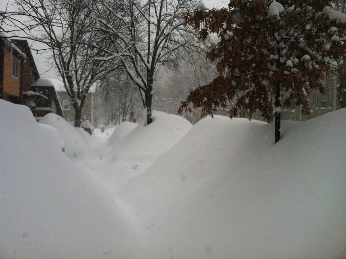
Yeah, I brought that up a couple days ago, Jerry. If you had plunked this stretch down in mid-Feb with climo temps, this would probably be the 2nd 2-3 footer for many of the posters in here and the third foot plus storm in two weeks.
-
Yep, just as I suspected. We got the shaft.
-
I find it kind of hilarious that the Valley got bent over even with an amenable thermal profile. If it ain't temps, it's fooking subby holes. Gotta find a better spot to move to.
-
This storm has surpassed Boxing Day as my most loathed KU. Total dumpster fire.
-
Yeah, I have nothing to complain about. The last decade has been insane, and I'll never top being in Boston for '15.
-
It snowed pretty hard for about an hour and change, but the core of the really good stuff stayed just west. Then the band sort of rotted and reformed off to my east. If we hadn't just bagged a double digit snow last week I'd be melting hard right now, but as it is, I'm just turning my thoughts to girls in tennis whites and sweating ice-cold juleps on the deck. I'll give this winter a B-.


