

GaWx
-
Posts
11,452 -
Joined
Content Type
Profiles
Blogs
Forums
American Weather
Media Demo
Store
Gallery
Posts posted by GaWx
-
-
Just over one year ago George started the El Niño thread and it’s already up to 266 pages! Will this thread be that long one year from now? We’ll see!
-
 1
1
-
-
The 12Z Euro, UKMET, and ICON are all strongly suppressed and thus don’t have precip get anywhere far enough north for a close call to snow. OTOH as already noted, the not as suppressed GFS and CMC are at least close on the back edge of the precip. to some snow falling 2/18-19. Some snow falling would be a big deal for this winter to date.
What camp are you in? The I don’t care camp doesn’t count as this thread is for forecast discussion for serious folks.
")
-
3
-
-
The 12Z GFS has a short period of snow 2/18 on the radar depiction fwiw for the 4th of the last 5 runs in a portion of coastal NC due to very dry air aloft. But with temps in the low 40s, there's no accumulation. A good number (8) of the 30 GEFS ensemble members show similar. So, though not at all likely, it is also far from impossible.
-
The cold biased CMC (12Z run) gives a 39 F cold rain to a portion of the FL/GA border early on Feb 19th. In addition, 850s get as low as +1C and 925s as low as 0C with light rain in Brunswick but temps get down only to the low 40s there on the run. If only the low were stronger/precip heavier bringing the colder air aloft to the surface. OTOH, this model is cold biased, regardless. So, it is likely overdone with how cold the rain is.
-
In just 6 days, the GEFS AO forecast went from this on Feb 8th:

To this today: the forecast for Feb 21st has risen from -3 to +1, one of the biggest forecast turnarounds I can recall within just 6 days! So, it isn’t just the Weeklies that failed. The Weeklies failing isn’t unusual. The within two week ensemble timeframe (for all ensembles) has also badly failed, which is the biggest disappointment:
The NAO and PNA have similarly badly failed.
-
1
-
-
3 hours ago, raindancewx said:
Hard to imagine next winter being worse for most of you given the temperatures this winter. My current guess would be another early peaking La Nina. Probably another Modoki La Nina. Don't shoot the messenger, but the Modoki La Ninas kind of suck for the East too.
I'm actually starting to wonder if the semi-persistence of on the ground weather despite different traffic patterns in the Pacific/Arctic is nature's way of bailing the West out of a multi-decade drought.
I would say, overall, this event behaved with some of the tendencies I expected - the subtropical jet was quite strong, but the Gulf of Alaska / Arctic stuff was a bit unusual with the very -PDO / and very +AMO combo.
If we get some insane hurricane season this Summer-Fall, I'll go +5 or more for the SW, with EPO/WPO driven above average snow/brief severe cold for the East, like a 2013-14 / 2017-18 blend. Otherwise, a Modoki La Nina favors the NW / Northern Plains for a cold winter. Intuitively that makes sense, as MN and that region has to burn off their +20 non-sense to end up relatively near long-term averages by year end.
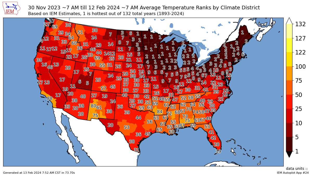
Some of the Rocky Mountain states as well as CA and WA are amazing to me as regards the stark contrast between nearby districts! Is this due to varying elevations? Examples:
-S CA coast 88 vs desert's 17
-The neighboring districts in WA that are 17 and 69
-The neighboring districts in NM that are 19 and 80
-
0Z GFS, due possibly to less new snow over the MW/N Plains, isn’t as cold as recent runs. Let’s see whether this leads to a less cold rain in the SE. Edit: It seems to have done that showing the importance in the model of new snow-cover.
-
3
-
-
The 18Z Euro suite is less suppressed than recent runs. If that were a sign of what’s to come in future Euro runs, that would be good because it like the ICON has been too suppressed to do any good for anyone since the 0Z 2/12 run, regardless of the temps. But even so, the 18Z EPS, which is slightly less suppressed and thus has more qpf along the Gulf coast, still has little snow anywhere in the SE.
-
2
-
-
Further to the above post, the GFS/GEFS seem to be on an island suggesting much of a chance for SE wintry precip mainly on the back edge 2/17-18. The 18Z GEFS has 13 of 30 members with some of that, mainly light/not necessarily sticking. The reason these last two runs have had more seems to be somewhat of a delay in the low moving out in the means vs runs just before these.
-
3
-
-
18Z GFS is still teasing us with the back edge of the rain changing to snow for brief periods of 2/17-18 though with temps comfortably above 32. 0Z and 12Z runs also had this. So, 3 of last 4 runs with what could be somewhat interesting. But other models are showing pretty much nothing.
-
3
-
-
Regarding any potential GOM/offshore SE low, there are still 13 of 30 12Z GEFS with mainly light snow mostly in E Carolinas. But the 12Z EPS and GEPS suggest very little chance.
-
17 hours ago, GaWx said:
If the CMC weren’t so cold biased, I’d be more excited about the potential for 2/18-9 wintry deep into the SE. Keep in mind that at 12Z on 2/17, this latest run has single digit temps in the NW 2/3 of MO associated with a 1044 mb high centered to the W. In contrast, the 18Z GFS is much less cold at ~20 with a much weaker high, 1030. The 12Z Euro is way up in the 25-27 range, 20 warmer than the CMC, along with a 1032 high. The NWS forecasts for MO are all in the 20s. So, the CMC is on its own there right now.
To have a halfway reasonable shot for wintry in the SE, the colder and stronger the high (like what the CMC has) the better. Although I’m not betting on it due to cold bias, I’m still hoping the CMC somehow has the right idea. With the progged very strong -EPO ridge resulting in an EPO of ~-3 setting in for the next several days, my hope is that the non-CMC models aren’t fully seeing how cold the high will be. But the current lack of mid-US snowcover may still allow it to modify rapidly like the non-CMC models have. OTOH, the models all have new snow progged for much of the Plains and Midwest just in advance of this cold air with the CMC having it all the way down to MO. Perhaps how much/how widespread the snow this week will be crucial and thus something to follow.
Compared to yesterday’s outlier cold 12Z CMC with its hard to believe single digits over NW 2/3 of MO for 12Z on 2/17 (cold airmass preceding potential GOM storm) with max SLP NW MO 1041 mb, today’s 0Z and 12Z are much warmer there with the 12Z 10-15 warmer with mainly 13-22 and max SLP only 1033 mb. Related to this later over the E portion of the SE to the coast, the rain isn’t nearly as cold with mainly 40-47 on today’s 12Z run instead of 33-37 of yesterday’s 12Z and the little bit of wintry precip it actually had.
Still, the 2/18-19 period is not a done deal for SE wintry from any potential Gulf to offshore SE low although chances are dropping as we get closer. I didn’t see much to get excited about on the 12Z model consensus. We need a colder airmass from the N stream to interact just right with any low.
-
0Z Euro: no SE wintry precip
-
 2
2
-
-
0Z GEFS: 12Z 2/17 Midwest/Plains and 12Z 2/18 SE 2m temps are both the coldest in at least a week’s worth of runs (per TT site…easy to compare).
-
1
-
-
0Z CMC: no SE winter storm. Run not as cold as prior run as of 12Z on 2/17. That carries over later to not as cold NW of the offshore SE low and thus not as cold a rain/not as close a call. (actually 12Z had a little bit of wintry precip).
-
1
-
-
0Z GFS has more IA and vicinity snow and a possibly related stronger push of cold. Let’s see whether this pushes moisture/storminess away from the SE or else it teams up with moisture and gets more interesting.
Edit: the former though it gets close. We need the low/moisture to lag more/come in later to mix with the cold instead of riding along the cold front, which usually doesn’t work out (cold chasing moisture).
Edit: This GFS is coldest in SE for 12Z on 2/18 in at least a week per TT old runs.
*Corrected
-
3
-
-
The 0Z ICON looks like a no for wintry in the SE.
-
9 hours ago, NorthHillsWx said:
Canadian is very very close on the 20th
If the CMC weren’t so cold biased, I’d be more excited about the potential for 2/18-9 wintry deep into the SE. Keep in mind that at 12Z on 2/17, this latest run has single digit temps in the NW 2/3 of MO associated with a 1044 mb high centered to the W. In contrast, the 18Z GFS is much less cold at ~20 with a much weaker high, 1030. The 12Z Euro is way up in the 25-27 range, 20 warmer than the CMC, along with a 1032 high. The NWS forecasts for MO are all in the 20s. So, the CMC is on its own there right now.
To have a halfway reasonable shot for wintry in the SE, the colder and stronger the high (like what the CMC has) the better. Although I’m not betting on it due to cold bias, I’m still hoping the CMC somehow has the right idea. With the progged very strong -EPO ridge resulting in an EPO of ~-3 setting in for the next several days, my hope is that the non-CMC models aren’t fully seeing how cold the high will be. But the current lack of mid-US snowcover may still allow it to modify rapidly like the non-CMC models have. OTOH, the models all have new snow progged for much of the Plains and Midwest just in advance of this cold air with the CMC having it all the way down to MO. Perhaps how much/how widespread the snow this week will be crucial and thus something to follow.
-
3
-
-
8 hours ago, BooneWX said:
Another layer to this climate change conversation:
We as a region are very dependent on proper cold from source regions. Snowpack to our north has been absolutely anemic this year and in years past. Arctic air doesn’t have that same punch that it used to because of it imo. As climate change warms the northern latitudes, it’s just going to get increasingly more challenging for cold air to not moderate as it moves south.
Look how warm the Arctic has been. What’s also interesting is that the Arctic’s coldest day in the means isn’t for another 13 days, Feb 25. Feb actually is slightly colder than Jan:

-
3
-
1
-
-
The DJ MEI came in at only +0.7 vs the +1.1 peak of ND.
-
40 minutes ago, wxdawg10 said:
put a fork in it, winter is over. Start planning those walks to the park
Actually, I do the opposite. My walks in the park are typically more frequent during winter than in any other season. But then again, I’m down in Savannah, where unenjoyable heat and humidity dominate much of the year and thus I enjoy walking in chilly conditions. Regardless, I can usually get in a good number of enjoyable walks well into April. The treadmill usually takes over starting in May.
-
3
-
 5
5
-
-
20 hours ago, GaWx said:
18Z GEFS (outside of mtns): much more wintry than 12Z
-back up to 4 members with wintry precip in N FL (2 near Jacksonville)
-mean is the highest it has been in N 1/2 of GA and much of SC in awhile; 50% have snow that includes outside of NC
-NC: 3 biggies/2 moderate; mean is 0.5-1.5” most of state; 75% have snow
-ATL: 1 with 3”+ that also includes moderate to heavy much of SC/NC with light to far NE FL
Compared to the improved 18Z GEFS, the 12Z GEFS has worsened substantially:
-much of NC only 0.1 to 0.6” and most only 0.1-0.2” vs 0.5-1.5”
-NC: only 2 moderate to big dogs vs 5
-NC: but still 70% have snow vs 75% although most light (a good number in E NC)
-Other states: 30% vs 50%
-ATL: only 4 with SN, all very light (~0.1”)
-N FL: only 1 (3%) and that one just barely
-
3
-
 1
1
-
-
The 2/13-20 0Z 2/12 GEFS predicted AO rose quite a bit again to -1.2 (see image below) vs -2.2 on 2/10, -2.7 on 2/9, -3.2 on 2/8, -3.0 on 2/7, and -3.5 on 2/6. Also, the NAO is significantly higher than yesterday with it hitting +0.7 In addition, the soon to peak PNA will be dropping to negative in ~a week. So, terrible trends again for cold lovers on the GEFS for late month:
AO from just 4 days ago (2/8 run) : -3.2 for 2/13-20 and headed for a major bust

AO today (2/12 run): -1.2 for 2/13-20
-
3
-
1
-
1
-
-
I think we need a ruling from the King, who is now deliberating.


 We’ll know soon.
Edit: King says no snow for you, SE.


Mid to Long Range Discussion ~ 2024
in Southeastern States
Posted
Without further ado folks after following this particular period with lots of enjoyment for several weeks, an important milestone has arrived for me for 2/18-9.
Also, I currently see no threats down the road at least as of this point. There are no longer any encouraging signs and also it is getting late. This may be it for this winter.