goodwidp
-
Posts
52 -
Joined
-
Last visited
Content Type
Profiles
Blogs
Forums
American Weather
Media Demo
Store
Gallery
Everything posted by goodwidp
-
Feb 22nd/23rd "There's no way..." Obs Thread
goodwidp replied to Maestrobjwa's topic in Mid Atlantic
Snow mixing in with rain in Timonium. Seems to be 50/50 or so. -
Are there any websites that have updated "official" observed snowfall totals aside from the NWS Public Info. Statements?
-
Most recent SPC meso discussion from 9:39 AM EST. Mesoscale Discussion 0055 NWS Storm Prediction Center Norman OK 0839 AM CST Sun Jan 25 2026 Areas affected...Eastern West Virginia and Virginia into the DelMarva. Concerning...Winter mixed precipitation Valid 251439Z - 251745Z SUMMARY...Snow has mostly transitioned to sleet from eastern West Virginia, across Virginia, and into the DelMarva. DISCUSSION...Strong warm air advection has supported moderate precipitation rates through the morning across West Virginia/Virginia and into the Mid-Atlantic. The 12A IAD RAOB showed a warm nose slightly below freezing at around 750mb with very strong (80 knot) southwesterly flow at the altitude of the warm nose. As such, this warm nose is quickly warming/advecting north and surface observations of sleet across northeast Virginia and Maryland confirm this transition. Any areas that remain snow this morning across Virginia and Maryland will likely transition to sleet within the next 1 to 2 hours given this strong warm air advection aloft. Expect precipitation type to remain sleet even as this warm nose continues to warm given the very cold temperatures at the top of the boundary layer (-15C) at the KIAD, KRNK, and KGSO 12Z RAOBs. The moderate precipitation will continue with sleet accumulation of 0.1 to 0.2 inches per hour expected. ..Bentley.. 01/25/2026
-
Pinging starting to noticeably increase here (central Balt. county).
-
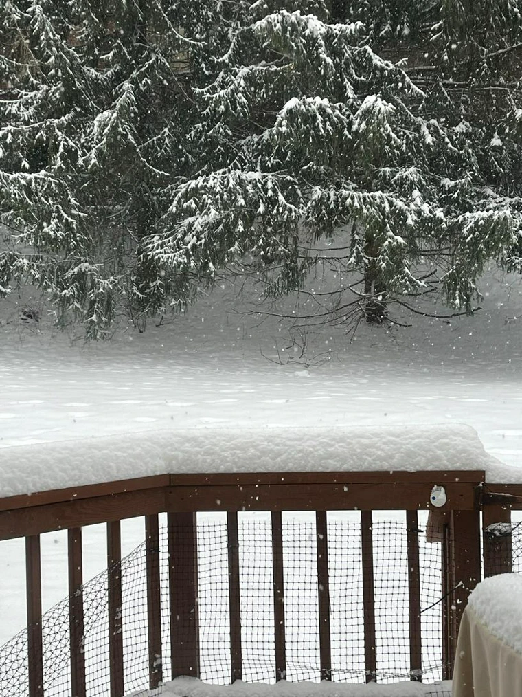
Snowfall rates picking up nicely in central Balt. county. It really is wild to see just how fine the actual flakes are.
-
January 24-26: Miracle or Mirage JV/Banter Thread!
goodwidp replied to SnowenOutThere's topic in Mid Atlantic
Armed and ready. -
LWX current map for ice potential, fwiw. Source: https://www.weather.gov/lwx/winter
-
I'm just now noticing that the two maps have different titles ("Event Total Snowfall Accumulation" vs "Expected Snowfall: Official NWS Forecast") so perhaps they're using separate data.
-
Ha. They just released an updated one at 1:17am that is a tad more conservative.
-
Latest map from LWX (12:41 am). The red-shaded 18"+ area is starting to creep into the favored N/W zones.
-
"First call" map from Baltimore-area Met Justin Berk. Source: https://x.com/JustinWeather
-
Are any models capable of showing the potential for convection/thundersnow at this range?
-
Finally starting to changeover here (central Balt. county). Noticeable uptick in the amount of snow mixing in during the past 10 minutes or so.
-
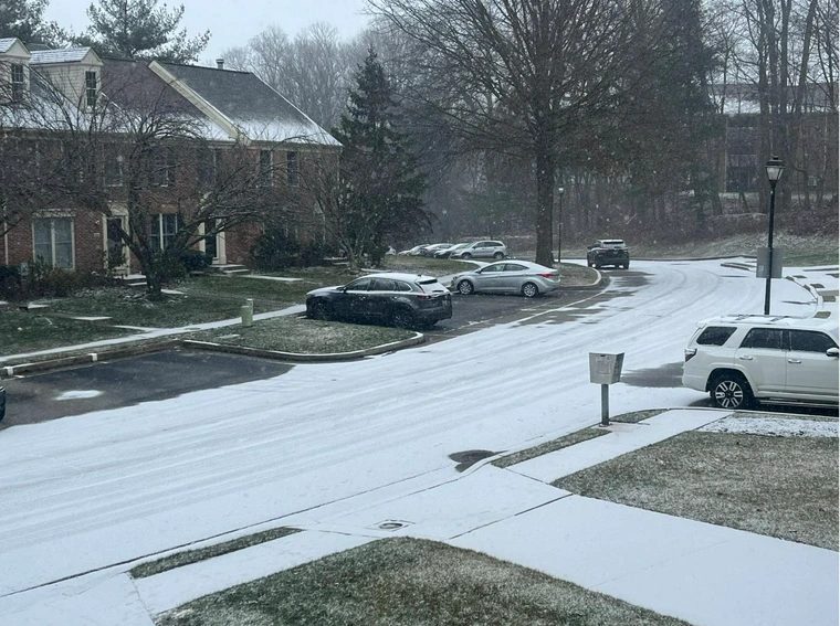
A few flakes appear to be mixing in, but otherwise 98% cold rain in central Baltimore county. Good times.
-
Really enjoyed tonight's Profs and Pints: What We Know About Snow presentation tonight in Baltimore with Jeff Halverson of CWG. It's mostly basic-level discussion but still fascinating and highly recommended for fellow snow-lovers/weather-nerds.
-
Appears to be primarily sleet in Mays Chapel (central Baltimore county). There was a noticeable uptick in intensity in the past few minutes.
-
I didn't think the ice was all that bad here...until I heard one of the most terrifying noises in my life while WFH.
-
1/19 - The Roulette Wheel 29 Black Storm - OBS
goodwidp replied to DDweatherman's topic in Mid Atlantic
Forecast map from CWG: https://www.washingtonpost.com/weather/2025/01/18/dc-snow-cold-forecast/ -
Sterling's latest maps (as of 9:16 pm): https://www.weather.gov/lwx/winter Expected: High end:
-
Please and thank you.

-
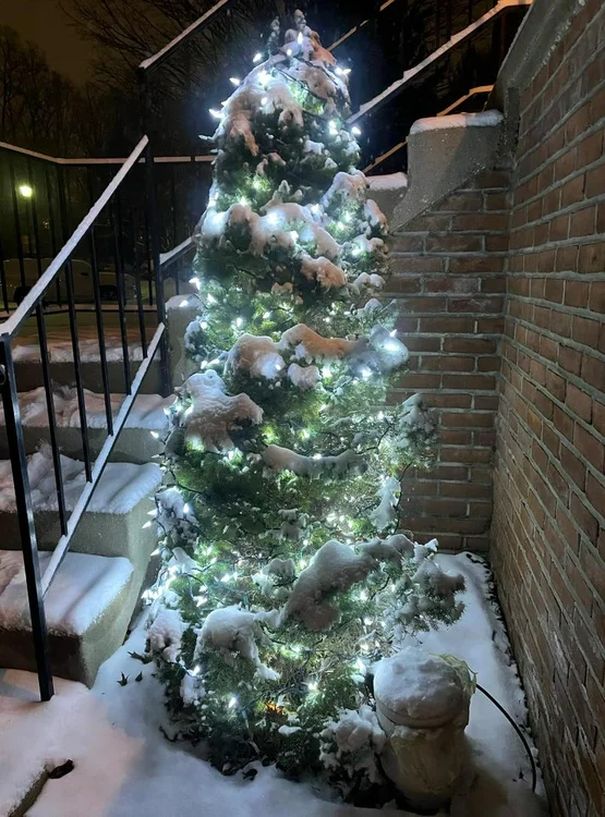
I stopped turning my Xmas lights on a week or so ago but left them up in hopes we'd get some snow. I am officially pleased with that decision.
-
Light snow in Timonium, MD (central Baltimore county). Slight, but noticeable, uptick in intensity in past 20-30 minutes or so.
-
Light snow just started around 3am in central Baltimore County (Timonium)
-
Here's the absurd point-and-click forecast for Mt. Baker, WA for us snow-deprived Baltimore/DC folks to drool over. 111-145" with 75 mph gusts through Thursday. https://forecast.weather.gov/MapClick.php?lon=-121.81434631347658&lat=48.772185661901574