rjvanals
-
Posts
718 -
Joined
Content Type
Profiles
Blogs
Forums
American Weather
Media Demo
Store
Gallery
Everything posted by rjvanals
-
Shows up on pivotal w precip types. 12z 3kn also shows the Parr Ridge jackpot so it may be right
-
Couple minor things different on the 12z Nams bs 6z: both have a slightly later start time and also have a brief period of rain before the switch to inside the beltway
-
Comparing this to the 6z really not much difference other than minor noise
-
Used to chase lake snow up in Oswego County NY when I went to Syracuse. Would always avoid I 81 for this reason as tractor trailers would jackknife and get stuck in the lake storms and they’d need NY state police to rescue them on snowmobiles. On local roads the towns would keep them passable and you could always turn around if there was a incident.
-
2.3" moderate snow here in Potomac, 31f
-
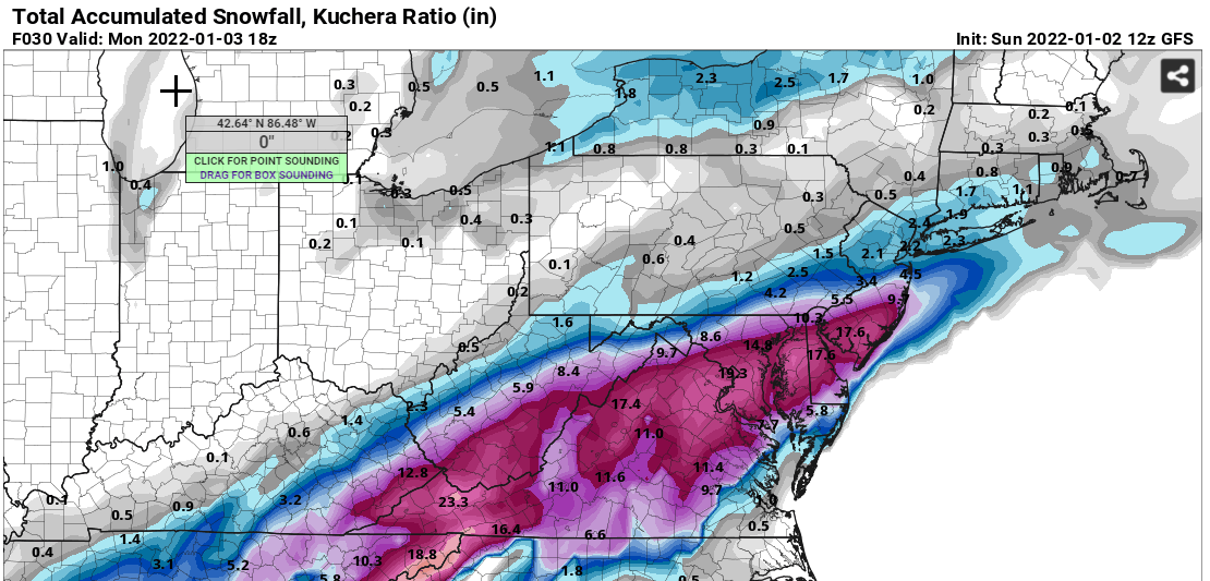
Matches up pretty well with the GFS which is showing a bit higher but with speed of system I'd go towards Euro
-
Euro actually matches up with LWX expected snowfall
-
Euro is a bump SE of 18z DC the same slightly lower NW of Balt/DC
-
NAM will be the favored model for many in DC after this run
-
Pretty similar forecast for DC on 18z GFS/EURO
-
Looks close to 12z; slightly less HGR FDK
-
Best part is it has DCA at 28f during the height of the storm
-
Euro at 24
-
Temps are also into the upper 20's during the heavy period of snow which is great
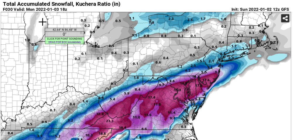
-
This is better than last night for DC
-
Liking GFS through 21...
-
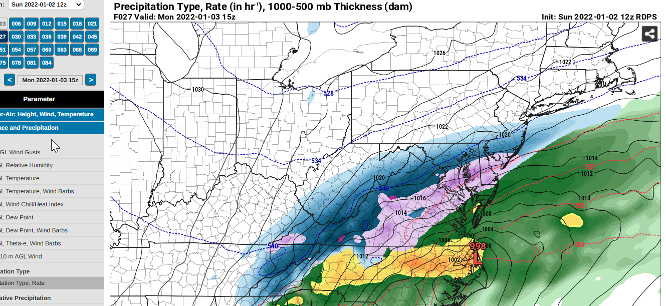
I actually like that it has a bit of sleet getting close to DC for a bit since that's a realistic aspect of most of our bigger storms
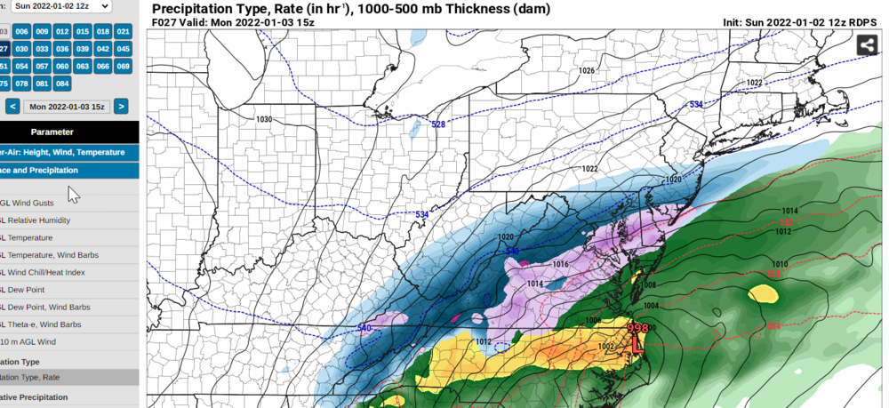
-
Better than 6z
-
15 inches at DCA through 39...
-
I'll take Hr 33
-
Rare DCA more than IAD coastal storm?
-
Snow into DC on euro
-
Was doing some point and click on pivotal and it was showing it
-
Like the NAM GFS is showing signs in soundings that we might have to contend w Sleet if we get precip up here
-
Late week is a DC NW storm on Euro and shows the classic DC split w early weeks now SE late week NW