rjvanals
-
Posts
718 -
Joined
Content Type
Profiles
Blogs
Forums
American Weather
Media Demo
Store
Gallery
Everything posted by rjvanals
-
I've thought the same thing for a while this reminds me of that storm. Maybe we do a bit better front end but that was still a fun strom.
-
This run really torches us in the DC metro. Would still be a few fun hours Sunday evening.
-
Euro takes DC from 28f at 7pm to 47f at 4 AM
-
Snow approaching DC at 93 with 999 L over the Smokies
-
Low looks to be headed towards Winchester this run
-
I prefer the 12z to the 18z; both have roughly the same snow but 18z has more rain over the corridor
-
Low heads to HGR higher totals south of DC are largely due to a deathband this run has
-
Faster this run but low still goes over DC
-
GFS has onset ~1pm for DC, Euro ~6pm for DC
-
Looks like about .7-.8qpf of snow in a ~6 hr thump
-
I've resigned myself to some rain but would like the low a bit further east to keep from torching into the low 40's. This is a great run if your looking to ski at Whitetail on Monday.
-
Looks like .3-.4 of rain with temps spiking to low 40's at DCA
-
A low going from Raleigh to near Norfolk to DC would be unusual
-
Yeah my 4 years at Cuse were pretty solid snowfall wise but I would still complain when we missed lol 2003-2004 181.3 2004-2005 136.2 2005-2006 124.6 2006-2007 140.2
-
That storm was well forecasted a few days out on the local news in Syracuse. If I remember correctly initially the thought was more towards Oswego/Jefferson County line would be the bullseye but it turned out to be Parish/Pulaski in the central part of Oswego County. Great storm.
-
Yeah was a Senior at Syracuse at the time. Chased the event and got some good photos w the weather channel crew in Parish. Was a bit depressing heading back down to campus 25 miles south of the storm and bare ground since the prevailing winds were W and you needed a WNW to get hit in Syracuse.
-
May have been up in Oswego County. Had one close to 80" in 2004 near Fulton/Oswego and close to 100" from a storm near Parish/Pulaski in 2007
-
Yeah this exactly having gone to school at Syracuse and experiencing a bit of lake effect
-
3.5" here in Potomac so far; band on top of me is similar to a Lake Snow band with high ratio dendrites
-
Looking downstream still no snow on the Wintergreen cams at ~3500 ft despite echos overhead
-
Jackpot over Manchester so it’s prob right
-
18z GFS would make everyone happy
-
GFS is still faster than other guidance but more of a 3-5” across metro area
-
Some of the previous runs had a more immediate burst of moderate precip in the DC area to start while on the 12z NAMs it had a bit of light precip to start. DPs are still low and 12z RGEM does look better for DC area north.
-
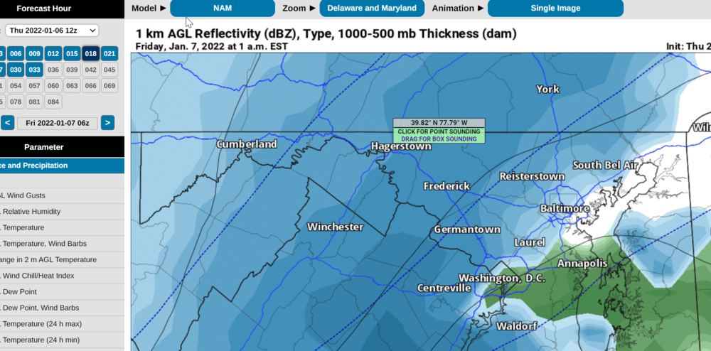
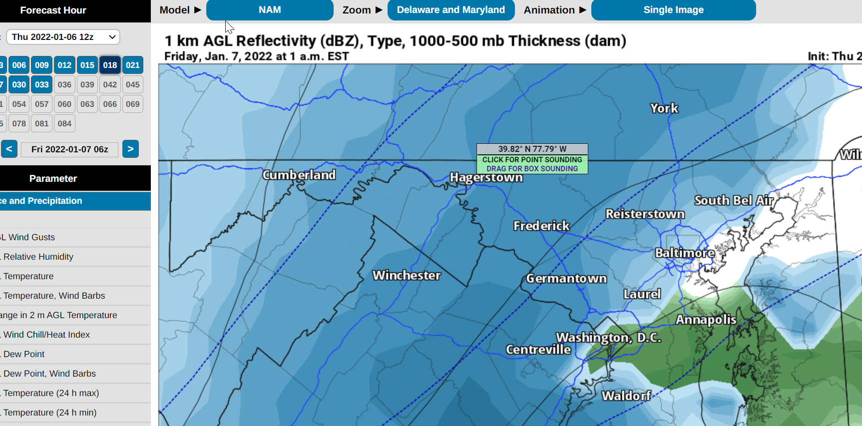
Here's the map on pivotal