madwx
-
Posts
2,362 -
Joined
-
Last visited
Content Type
Profiles
Blogs
Forums
American Weather
Media Demo
Store
Gallery
Everything posted by madwx
-
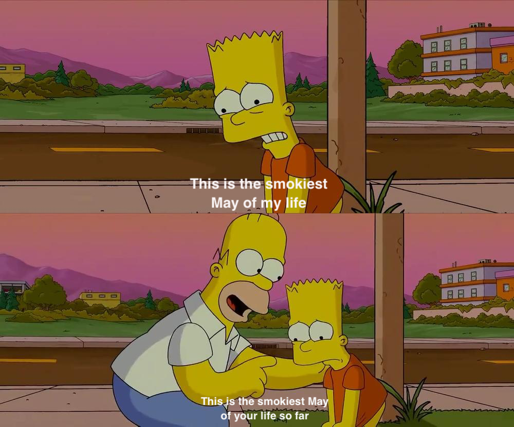
Humidity taking its time leaving the area. Dews now in the upper 60s to around 70 with light northeast winds. This upcoming weekend is going to be glorious
-

2025 Short Range Severe Weather Discussion
madwx replied to Chicago Storm's topic in Lakes/Ohio Valley
We are getting some clearing right after the line so there’s still a chance of storms this evening -
about 24-36 hours of humid, tropical air. This upcoming weekend should feel very refreshing
-
Summer 2025 Medium/Long Range Discussion
madwx replied to Chicago Storm's topic in Lakes/Ohio Valley
for those looking for cooler, less humid weather, seeing some potential in 10 days or so. But before then a ridge noses in and we get some more ring of fire action -
we didn't get the rain that Milwaukee got but still over 2" over the weekend and set a daily record on Sunday
-
66 and stratiform rain at 3 PM on July 30th
-
got 1.53" yesterday. Should pick up a good deal more this evening
-
2.86” of rain so far this week. Should get another round tonight before the pattern reloads over the weekend
-
Tied the record warm minimum yesterday. Should easily break it today. active stretch coming up starting tomorrow evening. Looking forward to it
-
Forecast was off. Imagine trying to predict tornadoes when the only info you got before convective initiation was when a trough hit the west coast
-
aurora actually arrived around 2 AM saturday night. the show was all but over by Sunday evening
-
time for my annual repost
-
very chilly out there this morning. 40 degrees with gusty NE winds. models have been ramping up the rain event here Tuesday. definitely will get 1" and a good chance at 2
-
daily record of 87 in Madison, breaking the previous one set in 1977 and 2012
-
Don’t sleep on tomorrow evening in southern Wisconsin and northern Illinois.
-
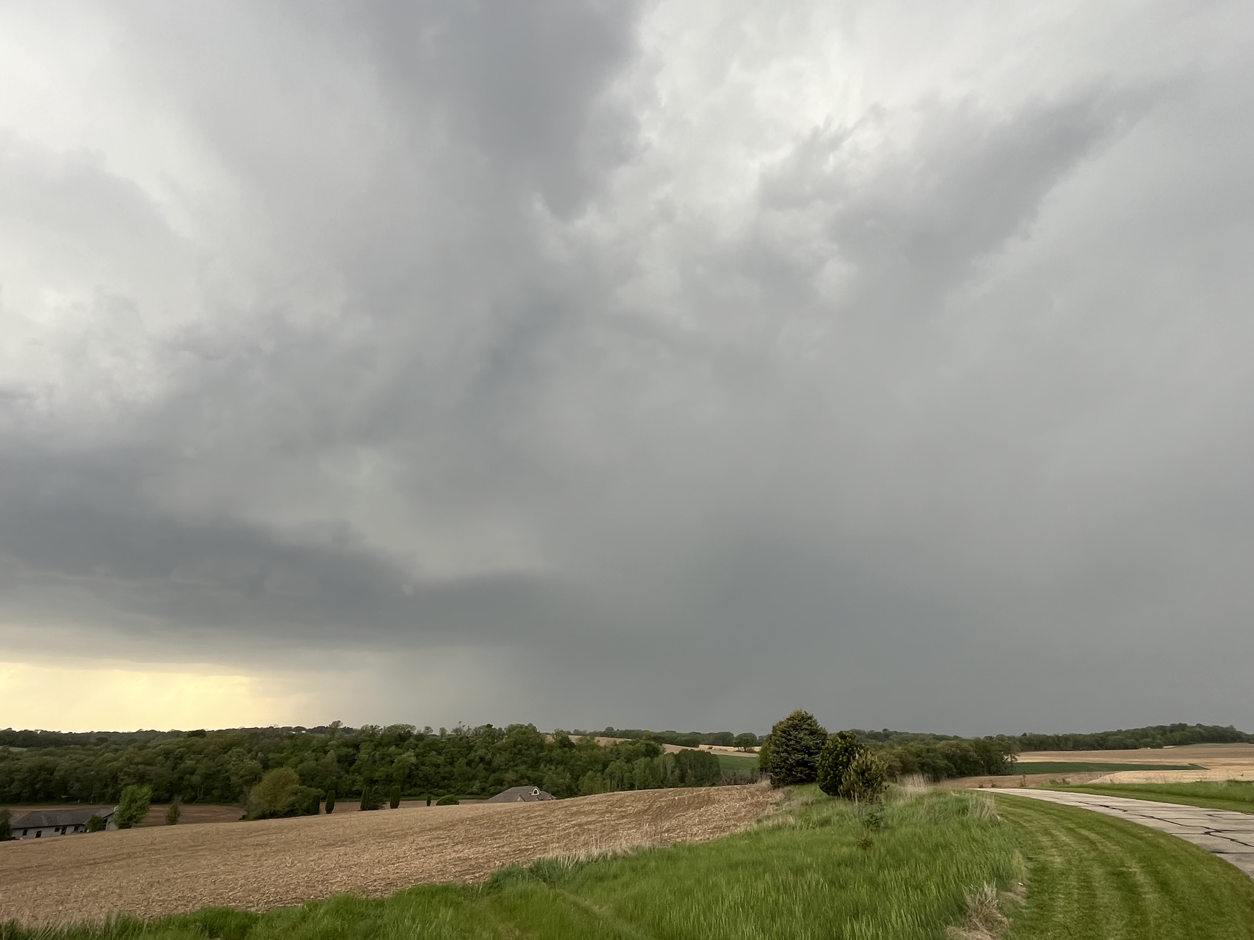
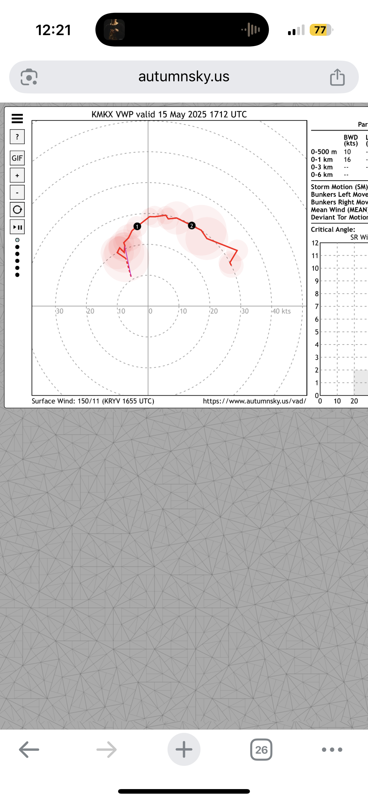
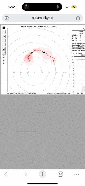
At least some of these cells must be above the inversion at 850 mb
-
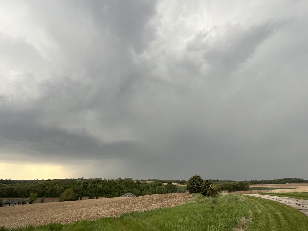
Plenty of supercells with hail but everything is still pretty sky high. Watching for any mergers or nudges. Especially the cells south of Madison
-
Cells popping up all over. Winds backed nicely. Bases are a little high but cell level processes bring them down a bit
-
Can’t argue for much more in low level wind fields
-
79/69 at the house. feeling pretty good so far. Only real concern is if things form just a little northeast of here.
-
Altocumulus flowing overhead this morning. No better feeling
-
I’m buying this event and am ready to wedge tomorrow
-
Hit 30 at the house and 32 at MSN this morning.
-
FYI. For those not trolling, this is a time to really not pay attention to the GFS. Skill scores are some of the lowest I’ve ever seen for anything mid to long range
-
Was an amazing day out. Got up to 69 at the house. Rest of the week should be beautiful too - in the 60s and 70s