ILMRoss
-
Posts
668 -
Joined
-
Last visited
Content Type
Profiles
Blogs
Forums
American Weather
Media Demo
Store
Gallery
Everything posted by ILMRoss
-

Ice Time? Dec. 16ish Possible CAD Event
ILMRoss replied to Tar Heel Snow's topic in Southeastern States
Two things to keep in mind: -There is some scientific backing behind "hi-res models do better with CADs", which at face value can scan as a weenie-ism sometimes. Hi-res models will have a much more detailed rendering of the apps and topography in general- as it turns out when forecasting a topographically-induced weather event, having the topography rendered as accurately as possible is important! -I have never, in 9 winters of lurking and posting through this board, seen ZR qpfs be accurate. They are almost always inflated. The only legitimate ice storms I can really remember that mildly panned out were all in 2014. -
^ here's a take that aged like milk in a hot car. it happens. For next Wednesday, don't really think it's our storm unless you're above 2k feet (even then, apps may have moisture issues). That CAD high will need to get stronger or drop south some for this storm to be relevant to non-mountain folks.
-
Whatever next week is fits neatly into the same category of the Monday system. It has upside, may be worth some token stuff, but a lot of things need to break in the right direction for it to be anything more than that. I would pay attention to how much the associated S/W digs/cuts off and if it keeps the integrity of that cut-off through the SE on today's model runs- some positive developments there would be cool. Generally anything progged to put snow down in Oklahoma and moving laterally warrants at least a lazy eye for our Carolina folks.
-
I thought it was fun but I really doubt it will be replicated in future runs. Happy to be proven wrong.
-
It has the potential to be a cute little appetizer. The upper air temps are there, surface temps are kinda blah. Rates dependent set-up. What’s new? A lot of things still have to break right. If that shortwave diving in from the lakes comes in further from the rest/digs a little more, there might be some healthier precip. We’ll see. Winter!! We’re back baby!
-
Had a friend that said Birmingham got some flakes today. MPING has the Atlanta suburbs seeing some flakes. Wouldn’t be surprised some pretty widespread token flake action in the Carolinas tonight but if you want to see it time to get that coffee brewing.
-
Tbh probably the first time in a while I’m rooting for a warm winter If we’re going to be in lockdown 2 at least let me get some more golf in.
-
I love coming in here to say “I don’t know if a NW trend is possible” then logging back on to see the NAM has kicked a solid 80 miles north. NAM is a best case scenario where the energy out west *isnt* held back. Stay tuned to see if this becomes a globals vs high resolution situation
-
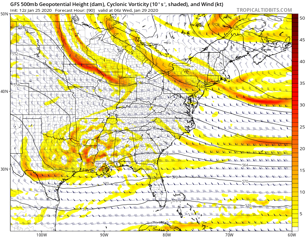
Some things I’m seeing; Starting with the bad: - I don’t know how much of a northwest trend is really *possible* given that the shortwave is coming from the northwest. A shift north could mean a flatter system overall and could mean less precip. - Euro + UK combo saying no is a tough hand to bet against - Betting in a late blooming coastal always scares me, a lot can go wrong with transporting moisture that far away from the LP Now the good: - Hi-Res models haven’t gotten a good crack at this yet. They’re not just good for thermals, they’re *much* better at rendering topography. Can’t emphasis enough how much of a night and day difference a mountain range looks on the gfs compared to the nam 3k. I mention that because any shortwave gets stretched and contracted in the mountain west and that has implications downstream. Our shortwave is being held back in dang Utah may look a little different in the hi-res stuff - We have a wildcard I haven’t seen mentioned yet: this shortwave. It’s currently between Oregon and Hawaii and flies into Cali in 3 days like a bat out of hell. Pay attention to this storm; if it holds on some more of its integrity it could be a nice little boost to our Rockies shortwave I’m pretty neutral on this storm, I’m not completely optimistic but it still has a lot of upside.
-
To me it’s pretty solid that the CMC had a worst case scenario in how it handled the the Rockies energy (held it back) and the run still popped a coastal that gave NE NC a respectable event.
-
While this is on the table I recommend fast forwarding a couple of days before we analyze exactly *what* the snow corridor will look like
-
Pretty much this. With a 1040 parent high I think this is the pre-eminent feature to pay attention to in model runs going forward. I don’t think temps will be *that* much of an issue but I’m also ready to eat crow on that statement given this is still below the mason Dixon line. .
-
The reason for the change is an eastward trend in the shortwave that drops in to help create lift. Compare: The 24 hour change in the gfs shows a 500 mile shift East. Because of this, the shortwave has a more positive tilt and produces less moisture transport. Still a very potent setup and I don’t think it would take too many tweaks to show snow again, but this is a setback.
-
While you are correct for the heavy precip core, I want to emphasize that *people on the fringes* of events like this still will have to worry about BL issues. In a hypothetical where the I-40 corridor gets an E-W spanning streak of the heaviest rates, places N of that (South Hill, Danville etc in this scenario) would still deal with mixing.
-
Focus on Thursday. Thursday is a no frills, overrunning event where the atmosphere is hair trigger sensitive to disturbances due to the thermal gradient. The closing coastal needs a lot more to go right. Focus on Thursday.
-
Tbh the big, smothering 1040 high is one of the most promising features of this setup thus far .
-
Some thoughts; This is an uncommon, although not unheard of, setup that exists because of the thermal gradient. Check this out: There is a very intense thermal gradient here with a trough in the NE and a strong ridge poking in from Florida. The general mechanism for winter mischief is that any blip or impulse riding this gradient will be able to kick up precipitation from frontogenesis and general warm air advection (which sounds scary but in pure scientific terms is another way to produce lift. WAA = lift!) The high pressure also helps. I’m not really focusing on the potential coastal closer the euro has until a few more days pass. The issue here is the high 500mb heights; it may not be very cold throughout the entire atmosphere and *whatever* this is may evolve into a delicate mix forecast as cold air still has potential to undercut things at the surface. Synoptically, I think a similar event is 1/28/14 (which eventually brought a moderate snowfall along a wave riding a big thermal gradient) although not a perfect analog. It’s an imperfect setup but there’s a higher ceiling than most events due to the potential duration/moisture supply.
-
The system on Thursday very much has legs. Let's be clear- Not a very high ceiling system! The best case scenario is probably a 1-3 inch event on the northern half of the state! But, beggars can't be choosers. The difference for the last few runs of the GFS is a much healthier merge between the two parent jet streaks on the shortwave. when it's exiting Texas.

-
Thursday definitely has the potential to be a meat and potatoes, flat, light to moderate snow event. CMC solution is pretty tame and reasonable given the pattern. That other models don’t show a big snow i think is more indicative of how noisy/unpredictable to field of shortwaves is coming in after that. Short wave interaction is what could kill this opportunity and I think we’ll see inconsistency for one more run cycle or two before we know for certain this is worth keeping track of. The storm next weekend will be interesting, although unless something In the mid levels/high arrangement changes I don’t think the cold air will be robust enough for anything outside of a Acela corridor snow. Would love to be wrong though!
-
I wouldn’t overlook the system coming next Thursday. The shortwave takes a nice track; it just gets sheared apart and just loses its integrity. Otherwise, it’s heading into a nice modeled air mass. If future runs begin to maintain the shortwave a bit further, Thursday gets more interesting.
-
It wouldn’t take a lot of repositioning to make this shortwave on the euro a bigger deal. Perfect high. Something to keep track of.
-
I would not write off some token flakes on Friday night, but those curling edges of the “front ends” are hard to predict 12 hours out, not just 5 days. Whatever falls would then have to be beefy enough to not evaporate in the residual dry air mass. So I wouldn’t put hard money on that. Next week looks cool, with ample opportunity if the structure of the pattern holds, but most veterans here know how quickly that can sour. Would not yet focus on any particular time period.
-
Keep an eye on Tuesday. If the shortwave nudges a little deeper/stronger keeping with previous trends, I-40 corridor could be in for a quick treat.
-
this snow threat is kind of cute but i'm mainly just POed that it's cutting the tail off of the fall golf season. courses will be brown and soggy by november
-
Wow, the FV3 GFS has absolutely shown killer consistency, right to the end. If this storm follows it's script, what a coup! Nice to have a trustworthy (at times) tool in the the toolbox, or at least moreso than the current iteration of the GFS.